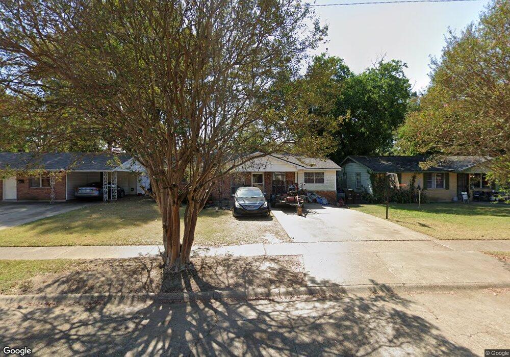
561 Sally Ann Dr Shreveport, LA 71106
Cedar Grove/Lynbrook NeighborhoodEstimated Value: $56,000 - $88,000
3
Beds
1
Bath
1,156
Sq Ft
$61/Sq Ft
Est. Value
About This Home
This home is located at 561 Sally Ann Dr, Shreveport, LA 71106 and is currently estimated at $70,851, approximately $61 per square foot. 561 Sally Ann Dr is a home located in Caddo Parish with nearby schools including Fairfield Magnet School, Judson Fundamental Elementary School, and Eden Gardens Fundamental Elementary School.
Ownership History
Date
Name
Owned For
Owner Type
Purchase Details
Closed on
Jul 2, 2017
Sold by
Gentry A Paul Michael
Bought by
K Carter Properties Llc
Current Estimated Value
Create a Home Valuation Report for This Property
The Home Valuation Report is an in-depth analysis detailing your home's value as well as a comparison with similar homes in the area
Home Values in the Area
Average Home Value in this Area
Purchase History
| Date | Buyer | Sale Price | Title Company |
|---|---|---|---|
| K Carter Properties Llc | $35,000 | Fidelity National Title |
Source: Public Records
Tax History Compared to Growth
Tax History
| Year | Tax Paid | Tax Assessment Tax Assessment Total Assessment is a certain percentage of the fair market value that is determined by local assessors to be the total taxable value of land and additions on the property. | Land | Improvement |
|---|---|---|---|---|
| 2024 | $737 | $4,728 | $1,023 | $3,705 |
| 2023 | $746 | $4,679 | $974 | $3,705 |
| 2022 | $746 | $4,679 | $974 | $3,705 |
| 2021 | $734 | $4,679 | $974 | $3,705 |
| 2020 | $734 | $4,679 | $974 | $3,705 |
| 2019 | $759 | $4,694 | $974 | $3,720 |
| 2018 | $604 | $4,694 | $974 | $3,720 |
| 2017 | $771 | $4,694 | $974 | $3,720 |
| 2015 | -- | $4,570 | $970 | $3,600 |
| 2014 | -- | $4,570 | $970 | $3,600 |
| 2013 | -- | $4,570 | $970 | $3,600 |
Source: Public Records
Map
Nearby Homes
- 570 Sally Ann Dr
- 8825 Coyth Ln
- 513 Lynbrook Blvd
- 8506 Westbrook Place
- 610 Meadowdale Place
- 636 Woodmont Place
- 417 Lynbrook Blvd
- 649 Woodmont Place
- 8316 Linwood Ave
- 710 Kingridge Place
- 635 Browning St
- 725 Meadowdale Place
- 407 W 81st St
- 745 Kingridge Place
- 742 Woodmont Place
- 609 Harrison St
- 8321 Kingston Rd
- 716 Harrison St
- 109 W 85th St
- 346 W 80th St
- 565 Sally Ann Dr
- 557 Sally Ann Dr
- 569 Sally Ann Dr
- 553 Sally Ann Dr
- 570 Lynbrook Blvd
- 573 Sally Ann Dr
- 562 Sally Ann Dr
- 558 Sally Ann Dr
- 566 Lynbrook Blvd
- 554 Sally Ann Dr
- 562 Lynbrook Blvd
- 566 Sally Ann Dr
- 578 Lynbrook Blvd
- 550 Sally Ann Dr
- 574 Lynbrook Blvd
- 545 Sally Ann Dr
- 577 Sally Ann Dr
- 558 Lynbrook Blvd
- 546 Sally Ann Dr
- 582 Lynbrook Blvd