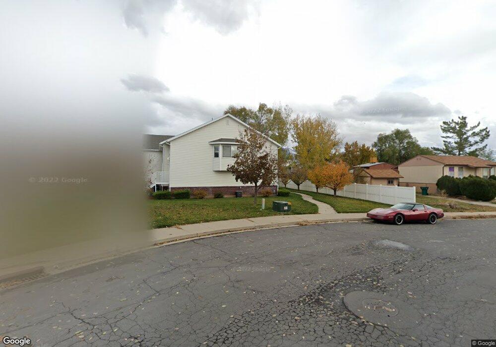
561 W 230 N Layton, UT 84041
Estimated Value: $361,000 - $385,000
4
Beds
2
Baths
1,066
Sq Ft
$349/Sq Ft
Est. Value
About This Home
This home is located at 561 W 230 N, Layton, UT 84041 and is currently estimated at $372,464, approximately $349 per square foot. 561 W 230 N is a home located in Davis County with nearby schools including Layton Elementary School, Fairfield Junior High School, and Layton High School.
Ownership History
Date
Name
Owned For
Owner Type
Purchase Details
Closed on
Oct 2, 2002
Sold by
Scenic Development Inc
Bought by
Hacker Adam C and Hacker Tiffany A
Current Estimated Value
Home Financials for this Owner
Home Financials are based on the most recent Mortgage that was taken out on this home.
Original Mortgage
$110,761
Outstanding Balance
$46,201
Interest Rate
6.22%
Mortgage Type
FHA
Estimated Equity
$326,263
Create a Home Valuation Report for This Property
The Home Valuation Report is an in-depth analysis detailing your home's value as well as a comparison with similar homes in the area
Home Values in the Area
Average Home Value in this Area
Purchase History
| Date | Buyer | Sale Price | Title Company |
|---|---|---|---|
| Hacker Adam C | -- | Bonneville Title Company Inc |
Source: Public Records
Mortgage History
| Date | Status | Borrower | Loan Amount |
|---|---|---|---|
| Open | Hacker Adam C | $110,761 |
Source: Public Records
Tax History
| Year | Tax Paid | Tax Assessment Tax Assessment Total Assessment is a certain percentage of the fair market value that is determined by local assessors to be the total taxable value of land and additions on the property. | Land | Improvement |
|---|---|---|---|---|
| 2025 | $1,755 | $184,250 | $59,950 | $124,300 |
| 2024 | $1,690 | $178,750 | $45,100 | $133,650 |
| 2023 | $1,669 | $171,050 | $41,800 | $129,250 |
| 2022 | $1,706 | $314,000 | $72,000 | $242,000 |
| 2021 | $1,597 | $241,000 | $57,500 | $183,500 |
| 2020 | $1,443 | $209,000 | $52,400 | $156,600 |
| 2019 | $1,410 | $200,000 | $50,400 | $149,600 |
| 2018 | $1,222 | $174,000 | $34,000 | $140,000 |
| 2016 | $1,039 | $76,285 | $18,700 | $57,585 |
| 2015 | $1,014 | $70,730 | $18,700 | $52,030 |
| 2014 | $993 | $70,830 | $18,700 | $52,130 |
| 2013 | -- | $75,614 | $18,700 | $56,914 |
Source: Public Records
Map
Nearby Homes
- 270 N 630 W
- 630 W 100 N
- 418 W Gentile St
- 361 W 50 N
- 24 Grover St
- 771 W Gentile St
- 526 King St Unit 2
- 355 W Gentile St
- 339 W 25 N Unit 6
- 933 W Gentile St
- 383 S 950 W
- 34 E 525 N
- 22 E 525 N
- 1113 W Angel Hill Ct
- 1382 W 250 N
- 1677 N 1600 W Unit 134
- 189 S Main St Unit 76
- 189 S Main St Unit 21
- 298 Amber Ln
- 316 Amber Ln
Your Personal Tour Guide
Ask me questions while you tour the home.