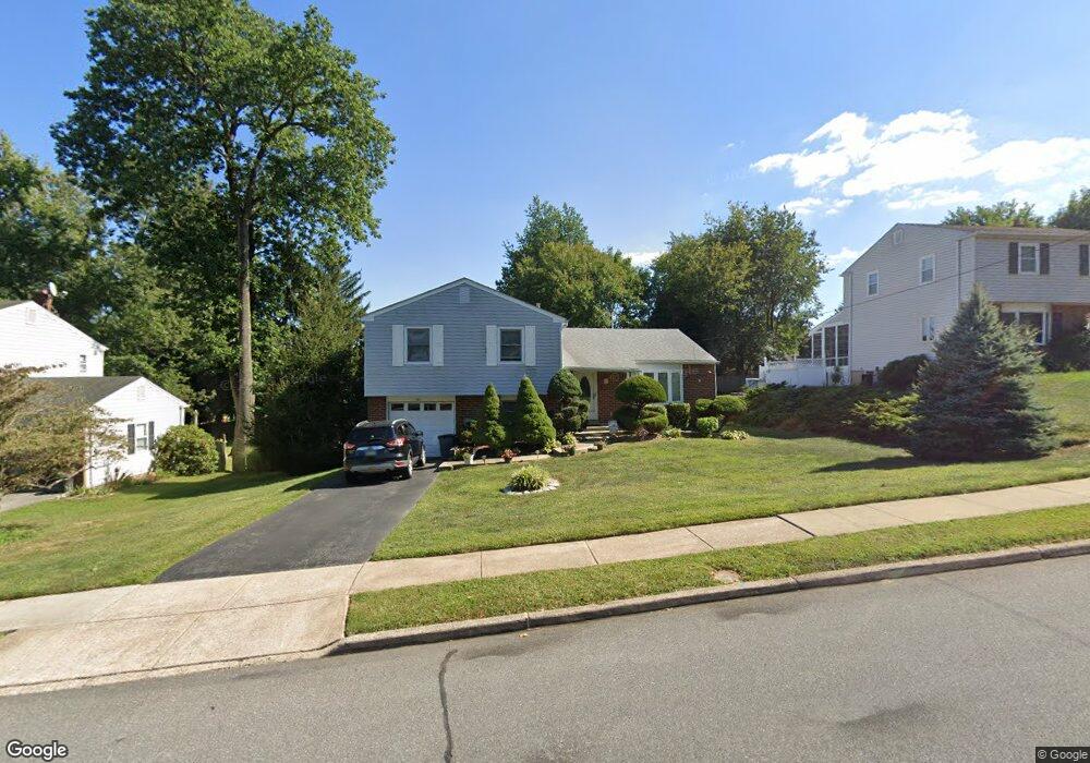
561 Weir Rd Aston, PA 19014
Estimated Value: $458,915 - $527,000
3
Beds
2
Baths
1,968
Sq Ft
$248/Sq Ft
Est. Value
About This Home
This home is located at 561 Weir Rd, Aston, PA 19014 and is currently estimated at $488,979, approximately $248 per square foot. 561 Weir Rd is a home located in Delaware County with nearby schools including Chester Charter School for the Arts.
Ownership History
Date
Name
Owned For
Owner Type
Purchase Details
Closed on
Aug 16, 2005
Sold by
Bailey Thomas and Bailey Nancy
Bought by
Simone Charles P
Current Estimated Value
Home Financials for this Owner
Home Financials are based on the most recent Mortgage that was taken out on this home.
Original Mortgage
$100,000
Outstanding Balance
$52,969
Interest Rate
5.79%
Mortgage Type
Fannie Mae Freddie Mac
Estimated Equity
$436,010
Create a Home Valuation Report for This Property
The Home Valuation Report is an in-depth analysis detailing your home's value as well as a comparison with similar homes in the area
Home Values in the Area
Average Home Value in this Area
Purchase History
| Date | Buyer | Sale Price | Title Company |
|---|---|---|---|
| Simone Charles P | $335,000 | Montgomery Land Transfer Inc |
Source: Public Records
Mortgage History
| Date | Status | Borrower | Loan Amount |
|---|---|---|---|
| Open | Simone Charles P | $100,000 |
Source: Public Records
Tax History Compared to Growth
Tax History
| Year | Tax Paid | Tax Assessment Tax Assessment Total Assessment is a certain percentage of the fair market value that is determined by local assessors to be the total taxable value of land and additions on the property. | Land | Improvement |
|---|---|---|---|---|
| 2025 | $6,831 | $263,260 | $77,590 | $185,670 |
| 2024 | $6,831 | $263,260 | $77,590 | $185,670 |
| 2023 | $6,525 | $263,260 | $77,590 | $185,670 |
| 2022 | $6,292 | $263,260 | $77,590 | $185,670 |
| 2021 | $9,710 | $263,260 | $77,590 | $185,670 |
| 2020 | $5,699 | $139,530 | $36,830 | $102,700 |
| 2019 | $5,589 | $139,530 | $36,830 | $102,700 |
| 2018 | $5,352 | $139,530 | $0 | $0 |
| 2017 | $5,238 | $139,530 | $0 | $0 |
| 2016 | $781 | $139,530 | $0 | $0 |
| 2015 | $781 | $139,530 | $0 | $0 |
| 2014 | $781 | $139,530 | $0 | $0 |
Source: Public Records
Map
Nearby Homes
- 2205 Weir Rd
- 734 Burdett Dr
- 565 Applewood Ct
- 711 Carole Dr
- 414 Dogwood Cir Unit 30
- 505 Schick Rd
- 4335 Somerset Ln
- 4701 Pennell Rd Unit J11
- 4701 Pennell Rd Unit H3
- 4104 Kates Glen
- 4224 Chatham Cir
- 921 Flora Ln
- 887 Red Hill Rd
- 4130 Chichester Ave
- 184 Fifth Ave
- 182 Fifth Ave
- 147 Third Ave
- 4301 Aston Mills Rd
- 216 Park Dr
- 200 Anderson Ave
- 571 Weir Rd
- 551 Weir Rd
- 541 Weir Rd
- 560 Longbotham Dr
- 550 Longbotham Dr
- 3130 Highwoods Dr
- 581 Weir Rd
- 570 Longbotham Dr
- 764 Goodale Dr
- 240 Longbotham Dr
- 531 Weir Rd
- 530 Longbotham Dr
- 580 Longbotham Dr
- 2100 Weir Rd
- 3110 Highwoods Dr
- 551 Longbotham Dr
- 2130 Weir Rd
- 611 Weir Rd
- 3115 Highwoods Dr
- 571 Longbotham Dr