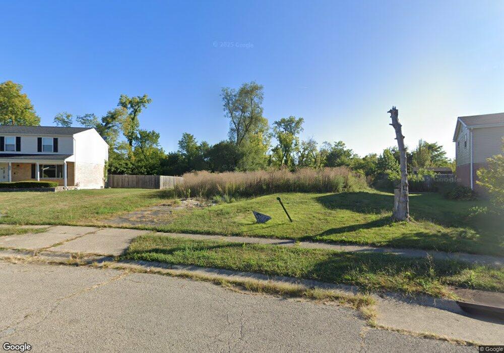
5610 Olive Tree Dr Dayton, OH 45426
Estimated Value: $11,460 - $152,000
3
Beds
3
Baths
1,242
Sq Ft
$66/Sq Ft
Est. Value
About This Home
This home is located at 5610 Olive Tree Dr, Dayton, OH 45426 and is currently estimated at $81,730, approximately $65 per square foot. 5610 Olive Tree Dr is a home located in Montgomery County with nearby schools including Trotwood-Madison Middle School, Trotwood-Madison High School, and Trotwood Preparatory & Fitness Academy.
Ownership History
Date
Name
Owned For
Owner Type
Purchase Details
Closed on
Mar 19, 2024
Sold by
Wingate Development Llc
Bought by
Black Diamond Equities Llc
Current Estimated Value
Purchase Details
Closed on
Feb 12, 2021
Sold by
Love Brandi and Marshall Brandi
Bought by
Wintage Development Llc
Purchase Details
Closed on
Oct 25, 2013
Sold by
Alexander Robert L and Alexander Dorothy L
Bought by
Marshall Brandi
Home Financials for this Owner
Home Financials are based on the most recent Mortgage that was taken out on this home.
Original Mortgage
$67,872
Interest Rate
4.24%
Mortgage Type
Future Advance Clause Open End Mortgage
Purchase Details
Closed on
Sep 7, 2010
Sold by
Stermer Mark and Stermer Judith
Bought by
Alexander Robert L and Alexander Dorothy L
Create a Home Valuation Report for This Property
The Home Valuation Report is an in-depth analysis detailing your home's value as well as a comparison with similar homes in the area
Home Values in the Area
Average Home Value in this Area
Purchase History
| Date | Buyer | Sale Price | Title Company |
|---|---|---|---|
| Black Diamond Equities Llc | -- | None Listed On Document | |
| Wintage Development Llc | $6,500 | Partners Land Title Agency | |
| Marshall Brandi | $70,000 | Real Living Title | |
| Alexander Robert L | $41,600 | Attorney |
Source: Public Records
Mortgage History
| Date | Status | Borrower | Loan Amount |
|---|---|---|---|
| Previous Owner | Marshall Brandi | $67,872 |
Source: Public Records
Tax History
| Year | Tax Paid | Tax Assessment Tax Assessment Total Assessment is a certain percentage of the fair market value that is determined by local assessors to be the total taxable value of land and additions on the property. | Land | Improvement |
|---|---|---|---|---|
| 2025 | $1,558 | $3,410 | $3,410 | -- |
| 2024 | $1,553 | $3,410 | $3,410 | -- |
| 2023 | $1,553 | $3,410 | $3,410 | $0 |
| 2022 | $1,578 | $2,260 | $2,260 | $0 |
| 2021 | $838 | $2,260 | $2,260 | $0 |
| 2020 | $142 | $2,260 | $2,260 | $0 |
| 2019 | $2,228 | $23,880 | $3,660 | $20,220 |
| 2018 | $2,230 | $23,880 | $3,660 | $20,220 |
| 2017 | $2,216 | $23,880 | $3,660 | $20,220 |
| 2016 | $2,098 | $22,610 | $4,060 | $18,550 |
| 2015 | $2,064 | $22,610 | $4,060 | $18,550 |
| 2014 | $2,064 | $22,610 | $4,060 | $18,550 |
| 2012 | -- | $33,140 | $8,950 | $24,190 |
Source: Public Records
Map
Nearby Homes
- 5550 Olive Tree Dr
- 6310 Westford Rd
- 6459 Waywind Dr
- 6473 Waywind Dr
- 6612 Westgrove Dr
- 5067 Well Fleet Dr Unit 14
- 6440 Westanna Dr
- 5551 Hummock Rd Unit 8GL
- 5003 Well Fleet Dr Unit 11RKR
- 5757 Ericsson Way
- 5482 Union Rd
- 5746 Desoto St
- 6392 Taywood Rd
- 4002 Summit Ct
- 4825 Olive Rd
- 1003 Redwood Rd
- 5025 Willow Rd
- 1018 Redwood Rd
- 4512 Sydenham Rd
- 6425 Woodacre Ct
- 5622 Olive Tree Dr
- 5600 Olive Tree Dr
- 5615 Olive Tree Dr
- 5634 Olive Tree Dr
- 5590 Olive Tree Dr
- 5635 Olive Tree Dr
- 5581 Olive Tree Dr
- 5580 Olive Tree Dr
- 5646 Olive Tree Dr
- 5647 Olive Tree Dr
- 5569 Olive Tree Dr
- 5678 Mount Olive Ct
- 5658 Olive Tree Dr
- 5659 Olive Tree Dr
- 5557 Olive Tree Dr
- 5666 Mount Olive Ct
- 5560 Olive Tree Dr
- 5685 Mount Olive Ct
- 5671 Olive Tree Dr
- 5541 Olive Tree Dr
Your Personal Tour Guide
Ask me questions while you tour the home.