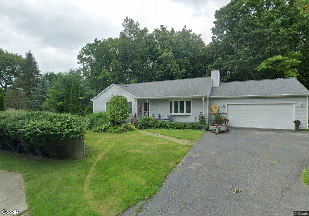
5610 Sally Rd Clarkston, MI 48348
Estimated Value: $373,000 - $559,000
--
Bed
2
Baths
1,376
Sq Ft
$312/Sq Ft
Est. Value
About This Home
This home is located at 5610 Sally Rd, Clarkston, MI 48348 and is currently estimated at $429,858, approximately $312 per square foot. 5610 Sally Rd is a home located in Oakland County with nearby schools including Everest Academy.
Ownership History
Date
Name
Owned For
Owner Type
Purchase Details
Closed on
Apr 6, 2023
Sold by
Schutt Nancy A
Bought by
Schutt Nancy A
Current Estimated Value
Purchase Details
Closed on
Sep 2, 1997
Sold by
Murray Alistari
Bought by
Schutt Robert M
Purchase Details
Closed on
Nov 11, 1994
Sold by
Chestnut Const Co
Bought by
Alistair and Murray Maureen
Home Financials for this Owner
Home Financials are based on the most recent Mortgage that was taken out on this home.
Original Mortgage
$110,400
Interest Rate
8.91%
Create a Home Valuation Report for This Property
The Home Valuation Report is an in-depth analysis detailing your home's value as well as a comparison with similar homes in the area
Home Values in the Area
Average Home Value in this Area
Purchase History
| Date | Buyer | Sale Price | Title Company |
|---|---|---|---|
| Schutt Nancy A | -- | None Listed On Document | |
| Schutt Robert M | $164,500 | -- | |
| Alistair | $138,300 | -- |
Source: Public Records
Mortgage History
| Date | Status | Borrower | Loan Amount |
|---|---|---|---|
| Previous Owner | Alistair | $110,400 |
Source: Public Records
Tax History Compared to Growth
Tax History
| Year | Tax Paid | Tax Assessment Tax Assessment Total Assessment is a certain percentage of the fair market value that is determined by local assessors to be the total taxable value of land and additions on the property. | Land | Improvement |
|---|---|---|---|---|
| 2024 | $1,820 | $154,700 | $32,500 | $122,200 |
| 2023 | $2,454 | $132,500 | $28,900 | $103,600 |
| 2022 | $2,454 | $124,900 | $28,900 | $96,000 |
| 2021 | $2,455 | $123,000 | $29,700 | $93,300 |
| 2020 | $1,589 | $119,600 | $28,900 | $90,700 |
| 2018 | $2,343 | $106,000 | $25,600 | $80,400 |
| 2015 | -- | $81,600 | $0 | $0 |
| 2014 | -- | $78,600 | $0 | $0 |
| 2011 | -- | $62,400 | $0 | $0 |
Source: Public Records
Map
Nearby Homes
- LOT #36 Stonewall E
- 8550 Pine Knob Rd
- 0 Whipple Lake
- 5105 Wah Ta Wah Dr
- 8840 Minne Wanna Rd
- 5226 Forest Valley Dr
- 5010 Forest Valley Dr
- 0 Thendara Blvd Unit 20250006134
- 4995 Mohawk Ave
- 7871 Caberfae Trail
- 9550 Colgate Ave
- 7831 Caberfae Trail
- 7811 Caberfae Trail
- 4950 Iroquois Blvd
- 4936 Neosho Dr
- 8646 Thendara Blvd
- 9711 Dartmouth Rd
- 5196 Greenview Dr
- 7827 Eames Ct
- 4910 Clarkston Rd
- 5620 Sally Rd
- 8943 Stonewall W
- 8943 Stonewall W Unit W
- 5611 Delmas Rd
- 5630 Sally Rd
- 5601 Delmas Rd
- 5621 Delmas Rd
- 8939 Stonewall W Unit 15
- 5631 Sally Rd
- 5635 Delmas Rd
- 5640 Sally Rd
- 5591 Delmas Rd
- 8914 Stonewall W
- 5581 Delmas Rd
- 0 Delmas Rd
- 8935 Stonewall W Unit Bldg-Unit
- 8935 Stonewall W
- 5641 Sally Rd
- 5641 Delmas Rd
- 5650 Sally Rd