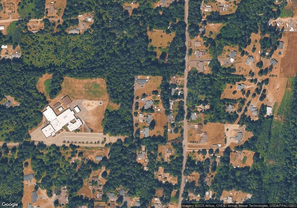
5611 Delia Ln SW Port Orchard, WA 98367
Estimated Value: $550,000 - $610,000
6
Beds
4
Baths
2,296
Sq Ft
$250/Sq Ft
Est. Value
About This Home
This home is located at 5611 Delia Ln SW, Port Orchard, WA 98367 and is currently estimated at $573,818, approximately $249 per square foot. 5611 Delia Ln SW is a home located in Kitsap County with nearby schools including Sunnyslope Elementary School, Cedar Heights Middle School, and South Kitsap High School.
Ownership History
Date
Name
Owned For
Owner Type
Purchase Details
Closed on
Jan 4, 2001
Sold by
Whiteley Ronald R and Whiteley Janell L
Bought by
Carter Justin J and Carter Katie A
Current Estimated Value
Home Financials for this Owner
Home Financials are based on the most recent Mortgage that was taken out on this home.
Original Mortgage
$142,200
Outstanding Balance
$52,885
Interest Rate
7.65%
Estimated Equity
$520,933
Create a Home Valuation Report for This Property
The Home Valuation Report is an in-depth analysis detailing your home's value as well as a comparison with similar homes in the area
Home Values in the Area
Average Home Value in this Area
Purchase History
| Date | Buyer | Sale Price | Title Company |
|---|---|---|---|
| Carter Justin J | $158,000 | Transnation Title Insurance |
Source: Public Records
Mortgage History
| Date | Status | Borrower | Loan Amount |
|---|---|---|---|
| Open | Carter Justin J | $142,200 |
Source: Public Records
Tax History Compared to Growth
Tax History
| Year | Tax Paid | Tax Assessment Tax Assessment Total Assessment is a certain percentage of the fair market value that is determined by local assessors to be the total taxable value of land and additions on the property. | Land | Improvement |
|---|---|---|---|---|
| 2026 | $4,570 | $506,180 | $84,400 | $421,780 |
| 2025 | $4,570 | $506,180 | $84,400 | $421,780 |
| 2024 | $4,433 | $506,180 | $84,400 | $421,780 |
| 2023 | $4,401 | $506,180 | $84,400 | $421,780 |
| 2022 | $4,204 | $404,700 | $67,280 | $337,420 |
| 2021 | $3,994 | $363,970 | $61,160 | $302,810 |
| 2020 | $4,040 | $358,640 | $63,150 | $295,490 |
| 2019 | $3,426 | $332,160 | $58,370 | $273,790 |
| 2018 | $3,623 | $268,930 | $50,230 | $218,700 |
| 2017 | $3,056 | $268,930 | $50,230 | $218,700 |
| 2016 | $2,975 | $238,160 | $47,840 | $190,320 |
| 2015 | $2,874 | $233,150 | $47,840 | $185,310 |
| 2014 | -- | $211,540 | $49,530 | $162,010 |
| 2013 | -- | $220,540 | $58,530 | $162,010 |
Source: Public Records
Map
Nearby Homes
- 4520 Victory Place SW
- 5846 SW 44th St
- 5733 Trace Dr SW
- 5763 Trace Dr SW
- 5894 Trace Dr SW
- 6013 Trace Dr SW Unit 456
- 6014 Trace Dr SW
- 6054 Trace Dr SW
- 6070 Crestner Dr SW
- 6080 Crestner Dr SW
- 6102 Crestner Dr SW
- 4838 Victory Dr SW
- 6150 SW Rhododendron Dr
- 4402 Lone Bear Ln SW
- 5131 Southgate Dr SW
- 4833 Lone Bear Ln SW
- 4310 Novak Dr SW
- 4160 Dr SW Novak
- 4178 Novak Dr SW
- 5925 Addison Rd SW Unit 100
- 5621 Delia Ln SW
- 5601 Delia Ln SW
- 4140 Victory Dr SW
- 5621 5623 Delia Ln
- 5633 Delia Ln SW
- 4018 Victory Dr SW
- 4151 Victory Dr SW
- 4202 Victory Dr SW
- 5623 Delia Ln SW
- 3936 Victory Dr SW
- 4165 Victory Dr SW
- 4187 Victory Dr SW
- 4229 Victory Dr SW
- 4230 Victory Dr SW
- 4019 Victory Dr SW
- 3981 Victory Dr SW
- 4254 Victory Dr SW
- 4121 Victory Dr SW
- 3975 Victory Dr SW
