5611 W 664 Rd Locust Grove, OK 74352
Estimated Value: $186,000 - $201,713
3
Beds
1
Bath
1,260
Sq Ft
$154/Sq Ft
Est. Value
About This Home
This home is located at 5611 W 664 Rd, Locust Grove, OK 74352 and is currently estimated at $193,678, approximately $153 per square foot. 5611 W 664 Rd is a home located in Cherokee County with nearby schools including Locust Grove Early Lrning Center, Locust Grove Upper Elementary School, and Locust Grove Middle School.
Ownership History
Date
Name
Owned For
Owner Type
Purchase Details
Closed on
Jul 1, 2021
Sold by
Pudewa Holdings Llc
Bought by
Buscemi Joseph S
Current Estimated Value
Home Financials for this Owner
Home Financials are based on the most recent Mortgage that was taken out on this home.
Original Mortgage
$135,375
Outstanding Balance
$122,888
Interest Rate
2.93%
Mortgage Type
New Conventional
Estimated Equity
$70,790
Purchase Details
Closed on
Oct 9, 2020
Sold by
M & A Holdings Llp
Bought by
Pudewa Holdings Llc
Purchase Details
Closed on
Feb 28, 2017
Sold by
Harris Gavin John
Bought by
M & A Holdings Llp
Home Financials for this Owner
Home Financials are based on the most recent Mortgage that was taken out on this home.
Original Mortgage
$108,000
Interest Rate
4.09%
Mortgage Type
Future Advance Clause Open End Mortgage
Purchase Details
Closed on
Oct 23, 1997
Sold by
Seth and Jeannie Anderson
Bought by
Elaine Vanbrunt
Create a Home Valuation Report for This Property
The Home Valuation Report is an in-depth analysis detailing your home's value as well as a comparison with similar homes in the area
Home Values in the Area
Average Home Value in this Area
Purchase History
| Date | Buyer | Sale Price | Title Company |
|---|---|---|---|
| Buscemi Joseph S | $142,500 | Firstitle & Abstract Svcs Ll | |
| Pudewa Holdings Llc | $135,000 | Firstitle & Abstract Svcs Ll | |
| M & A Holdings Llp | $135,000 | None Available | |
| Elaine Vanbrunt | $44,000 | -- |
Source: Public Records
Mortgage History
| Date | Status | Borrower | Loan Amount |
|---|---|---|---|
| Open | Buscemi Joseph S | $135,375 | |
| Previous Owner | M & A Holdings Llp | $108,000 |
Source: Public Records
Tax History Compared to Growth
Tax History
| Year | Tax Paid | Tax Assessment Tax Assessment Total Assessment is a certain percentage of the fair market value that is determined by local assessors to be the total taxable value of land and additions on the property. | Land | Improvement |
|---|---|---|---|---|
| 2024 | $1,671 | $17,282 | $2,041 | $15,241 |
| 2023 | $1,671 | $16,459 | $1,385 | $15,074 |
| 2022 | $1,472 | $15,675 | $690 | $14,985 |
| 2021 | $1,423 | $14,850 | $690 | $14,160 |
| 2020 | $1,443 | $14,851 | $690 | $14,161 |
| 2019 | $1,445 | $14,851 | $690 | $14,161 |
| 2018 | $1,473 | $14,851 | $690 | $14,161 |
| 2017 | $589 | $5,939 | $339 | $5,600 |
| 2016 | $549 | $5,657 | $305 | $5,352 |
| 2015 | $439 | $5,491 | $350 | $5,141 |
| 2014 | $420 | $5,331 | $315 | $5,016 |
Source: Public Records
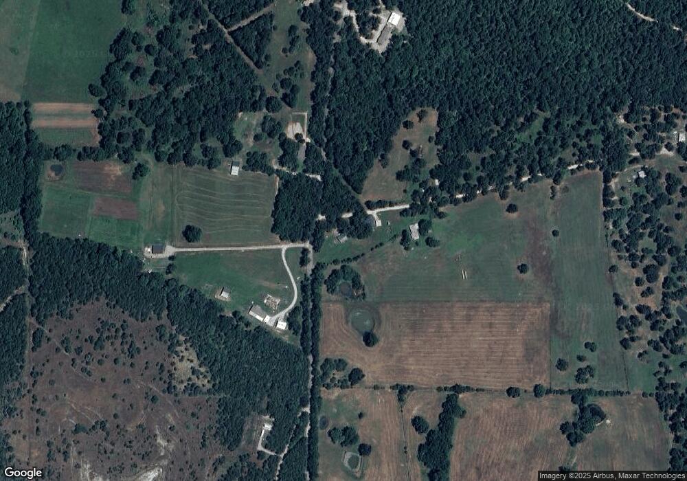
Map
Nearby Homes
- 8465 W 660 Rd
- 8465 W 660 Rd Hulbert Unit OK 74441
- 14209 S 439
- 0 Rural Route Unit 25-1842
- 0 Rural Route Unit 2536190
- 0 W 710 Rd Unit 2438380
- 0 W 710 Rd Unit 2438372
- 0 W 710 Rd Unit 2438367
- 10223 W 670 Rd
- 34190 E 651 Way
- 15 W 691 Rd
- 8683 N 436 Rd
- 0 650 Rd E Unit 25-1213
- Lake Crest
- Lake Crest
- E E 651 Rd
- S S 337 Rd
- 33684 E 650 Dr
- 58 Oak
- 0 S 4409 Rd