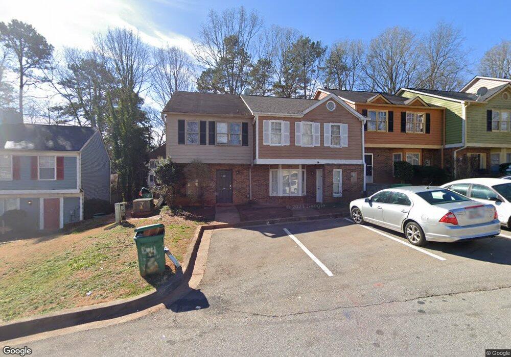
5611 Wells Cir Stone Mountain, GA 30087
Estimated Value: $171,000 - $190,000
3
Beds
3
Baths
1,280
Sq Ft
$140/Sq Ft
Est. Value
About This Home
This home is located at 5611 Wells Cir, Stone Mountain, GA 30087 and is currently estimated at $178,614, approximately $139 per square foot. 5611 Wells Cir is a home located in DeKalb County with nearby schools including Shadow Rock Elementary School, Redan Middle School, and Redan High School.
Ownership History
Date
Name
Owned For
Owner Type
Purchase Details
Closed on
Oct 2, 2003
Sold by
Curtis Peggyy M
Bought by
Curtis Cherrie
Current Estimated Value
Home Financials for this Owner
Home Financials are based on the most recent Mortgage that was taken out on this home.
Original Mortgage
$86,950
Interest Rate
5.98%
Mortgage Type
New Conventional
Create a Home Valuation Report for This Property
The Home Valuation Report is an in-depth analysis detailing your home's value as well as a comparison with similar homes in the area
Home Values in the Area
Average Home Value in this Area
Purchase History
| Date | Buyer | Sale Price | Title Company |
|---|---|---|---|
| Curtis Cherrie | $87,000 | -- |
Source: Public Records
Mortgage History
| Date | Status | Borrower | Loan Amount |
|---|---|---|---|
| Previous Owner | Curtis Cherrie | $86,950 |
Source: Public Records
Tax History Compared to Growth
Tax History
| Year | Tax Paid | Tax Assessment Tax Assessment Total Assessment is a certain percentage of the fair market value that is determined by local assessors to be the total taxable value of land and additions on the property. | Land | Improvement |
|---|---|---|---|---|
| 2025 | $2,564 | $78,400 | $10,000 | $68,400 |
| 2024 | $2,597 | $75,360 | $10,000 | $65,360 |
| 2023 | $2,597 | $64,360 | $10,000 | $54,360 |
| 2022 | $1,639 | $49,320 | $6,400 | $42,920 |
| 2021 | $1,280 | $38,880 | $6,400 | $32,480 |
| 2020 | $1,038 | $31,720 | $6,400 | $25,320 |
| 2019 | $1,011 | $31,200 | $6,400 | $24,800 |
| 2018 | $614 | $23,000 | $4,000 | $19,000 |
| 2017 | $451 | $14,600 | $4,000 | $10,600 |
| 2016 | $683 | $21,560 | $1,920 | $19,640 |
| 2014 | $351 | $7,600 | $1,920 | $5,680 |
Source: Public Records
Map
Nearby Homes
- 5651 Wells Cir
- 5707 Wells Cir
- 5691 Wells Cir
- 5621 Stonington Trace Pkwy
- 5597 Stonington Trace Pkwy
- 5618 Stonington Trace Pkwy
- 5582 Stonington Trace Pkwy
- 447 Sherwood Cir
- 5694 Southland Dr
- 5802 Simone Dr Unit 4
- 743 Mountain Meadow Walk
- 690 Gateway Ct Unit 1
- 556 Antietam Dr Unit 8
- 641 Olde Ivy Way
- 432 Rock Meadow Dr
- 5856 Oakleaf Dr
- 644 Navarre Dr Unit 4
- 400 Palmer Dr
- 5476 Old Rockbridge Rd
- 639 Royal Abbey Dr
- 5609 Wells Cir
- 5615 Wells Cir
- 5607 Wells Cir
- 5617 Wells Cir
- 5617 Wells Cir Unit 5617
- 5605 Wells Cir
- 5619 Wells Cir 0
- 5619 Wells Cir Unit 25
- 5619 Wells Cir
- 5619 Wells Cir Unit 5619
- 5603 Wells Cir
- 5621 Wells Cir
- 5675 Mountain Crescent
- 5623 Wells Cir
- 5601 Wells Cir
- 5683 Mountain Crescent
- 5625 Wells Cir
- 5599 Wells Cir
- 5669 Mountain Crescent
- 5627 Wells Cir