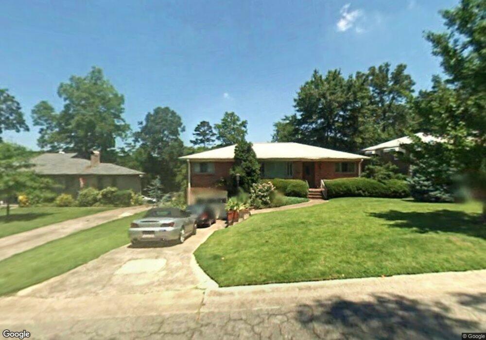
5612 10th Ave S Birmingham, AL 35222
Crestwood South NeighborhoodEstimated Value: $357,000 - $436,000
3
Beds
2
Baths
1,414
Sq Ft
$278/Sq Ft
Est. Value
About This Home
This home is located at 5612 10th Ave S, Birmingham, AL 35222 and is currently estimated at $392,585, approximately $277 per square foot. 5612 10th Ave S is a home located in Jefferson County with nearby schools including Avondale Elementary School, W.E. Putnam Middle School Magnet, and Woodlawn High School-Magnet.
Ownership History
Date
Name
Owned For
Owner Type
Purchase Details
Closed on
Sep 21, 2000
Sold by
Hiles Nancy J and Hiles Robert P
Bought by
Collins Robert P and Hiles Nancy J
Current Estimated Value
Home Financials for this Owner
Home Financials are based on the most recent Mortgage that was taken out on this home.
Original Mortgage
$112,100
Interest Rate
9.87%
Create a Home Valuation Report for This Property
The Home Valuation Report is an in-depth analysis detailing your home's value as well as a comparison with similar homes in the area
Home Values in the Area
Average Home Value in this Area
Purchase History
| Date | Buyer | Sale Price | Title Company |
|---|---|---|---|
| Collins Robert P | -- | -- |
Source: Public Records
Mortgage History
| Date | Status | Borrower | Loan Amount |
|---|---|---|---|
| Closed | Collins Robert P | $112,100 |
Source: Public Records
Tax History Compared to Growth
Tax History
| Year | Tax Paid | Tax Assessment Tax Assessment Total Assessment is a certain percentage of the fair market value that is determined by local assessors to be the total taxable value of land and additions on the property. | Land | Improvement |
|---|---|---|---|---|
| 2024 | $2,058 | $29,380 | -- | -- |
| 2022 | $1,909 | $27,320 | $12,510 | $14,810 |
| 2021 | $1,705 | $24,490 | $12,510 | $11,980 |
| 2020 | $1,649 | $23,740 | $12,510 | $11,230 |
| 2019 | $1,519 | $21,940 | $0 | $0 |
| 2018 | $1,261 | $18,380 | $0 | $0 |
| 2017 | $1,097 | $16,120 | $0 | $0 |
| 2016 | $1,188 | $17,380 | $0 | $0 |
| 2015 | $1,097 | $16,120 | $0 | $0 |
| 2014 | $1,023 | $16,300 | $0 | $0 |
| 2013 | $1,023 | $15,680 | $0 | $0 |
Source: Public Records
Map
Nearby Homes
- 5616 10th Ave S
- 5449 10th Ct S
- 5724 11th Ave S Unit 38
- 5728 11th Ave S Unit 37
- 5737 11th Ave S
- 1112 58th St S
- 5410 7th Ct S
- 5801 Crestwood Blvd
- 1021 54th St S
- 5404 11th Ave S
- 5734 8th Ct S
- 5307 7th Ave S
- 5226 Mountain Ridge Pkwy
- 5436 7th Ave S
- 5231 Mountain Ridge Pkwy Unit 40
- 5812 Southcrest Rd
- 942 53rd St S
- 5809 7th Ave S
- 1025 53rd St S
- 1049 53rd St S
- 5608 10th Ave S
- 5604 10th Ave S
- 5613 Crestwood Blvd
- 5621 Crestwood Blvd
- 5624 10th Ave S
- 5609 Crestwood Blvd
- 5600 10th Ave S
- 5613 10th Ave S
- 5609 10th Ave S
- 5617 10th Ave S
- 5621 10th Ave S
- 5628 10th Ave S
- 925 56th St S
- 5627 Crestwood Blvd
- 5625 10th Ave S
- 5601 10th Ave S
- 5634 10th Ave S
- 5633 Crestwood Blvd
- 5612 11th Ave S
- 5608 11th Ave S