5612 Devon Ln Unit 8566D Myrtle Beach, SC 29588
Burgess NeighborhoodEstimated Value: $210,000 - $264,000
3
Beds
2
Baths
1,302
Sq Ft
$186/Sq Ft
Est. Value
About This Home
This home is located at 5612 Devon Ln Unit 8566D, Myrtle Beach, SC 29588 and is currently estimated at $242,059, approximately $185 per square foot. 5612 Devon Ln Unit 8566D is a home located in Horry County with nearby schools including St. James Elementary School, St. James Intermediate, and St. James High School.
Ownership History
Date
Name
Owned For
Owner Type
Purchase Details
Closed on
Jan 9, 2002
Sold by
Setler Raymond F
Bought by
Weber Bertha L
Current Estimated Value
Purchase Details
Closed on
Mar 24, 2000
Sold by
Tiano Ralph J and Tiano Ruth M
Bought by
King Michael L and King Lisa W
Home Financials for this Owner
Home Financials are based on the most recent Mortgage that was taken out on this home.
Original Mortgage
$80,550
Interest Rate
8.34%
Mortgage Type
Unknown
Purchase Details
Closed on
Aug 17, 1998
Sold by
Setler Raymond F and Setler Betty L
Bought by
Tiano Ralph J and Tiano Ruth M
Home Financials for this Owner
Home Financials are based on the most recent Mortgage that was taken out on this home.
Original Mortgage
$77,400
Interest Rate
6.92%
Mortgage Type
Unknown
Create a Home Valuation Report for This Property
The Home Valuation Report is an in-depth analysis detailing your home's value as well as a comparison with similar homes in the area
Home Values in the Area
Average Home Value in this Area
Purchase History
| Date | Buyer | Sale Price | Title Company |
|---|---|---|---|
| Weber Bertha L | $76,500 | -- | |
| King Michael L | $89,500 | -- | |
| Tiano Ralph J | $86,000 | -- |
Source: Public Records
Mortgage History
| Date | Status | Borrower | Loan Amount |
|---|---|---|---|
| Previous Owner | King Michael L | $80,550 | |
| Previous Owner | Tiano Ralph J | $77,400 |
Source: Public Records
Tax History
| Year | Tax Paid | Tax Assessment Tax Assessment Total Assessment is a certain percentage of the fair market value that is determined by local assessors to be the total taxable value of land and additions on the property. | Land | Improvement |
|---|---|---|---|---|
| 2025 | $565 | $0 | $0 | $0 |
| 2024 | $565 | $9,354 | $2,449 | $6,905 |
| 2023 | $565 | $4,493 | $433 | $4,060 |
| 2021 | $514 | $5,248 | $1,188 | $4,060 |
| 2020 | $435 | $5,248 | $1,188 | $4,060 |
| 2019 | $435 | $5,248 | $1,188 | $4,060 |
| 2018 | $395 | $3,907 | $295 | $3,612 |
| 2017 | $380 | $3,907 | $295 | $3,612 |
| 2016 | -- | $3,907 | $295 | $3,612 |
| 2015 | $387 | $5,861 | $443 | $5,418 |
| 2014 | $359 | $5,861 | $443 | $5,418 |
Source: Public Records
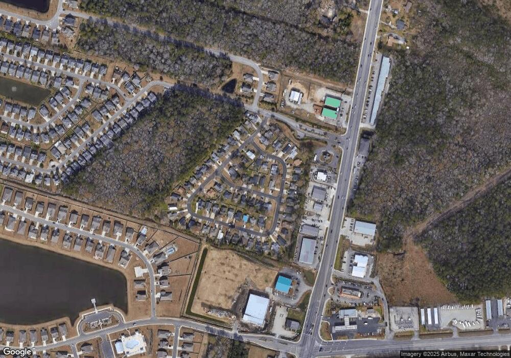
Map
Nearby Homes
- 9514 Leeds Cir Unit MB
- 5104 Stockyard Loop
- 5307 Shorthorn Way
- 5152 Stockyard Loop
- 1011 Weslin Creek Dr
- 4842 Timberlake Dr
- 337 Skyland Pines Dr
- TBD Honeydew Rd Unit 2C-7
- 150 Honeydew Rd
- 1431 Brighton Ave
- 623 Annese Dr
- 1440 Brighton Ave
- 1062 Weslin Creek Dr
- 147 Terracina Cir
- 154 Terracina Cir
- 8627 Bragg Dr
- 600 Annese Dr
- 312 Cattle Drive Cir
- - S Carolina 707
- 7770 S Carolina 707
- 5608 Devon Ln
- 5618 Devon Ln Unit MB
- 9575 Leeds Cir
- 9573 Leeds Cir
- 5604 Devon Ln
- 9425 Leeds Cir
- 9419 Leeds Cir
- 9569 Leeds Cir
- 5617 Devon Ln
- 9431 Leeds Cir
- 5619 Devon Ln
- 5607 Devon Ln
- 9415 Leeds Cir Unit MB
- 5621 Devon Ln
- 5603 Devon Ln Unit MB
- 5603 Devon Ln Unit Victoria Station
- 9439 Leeds Cir
- 9501 Leeds Cir
- 9411 Leeds Cir Unit MB
- 9497 Leeds Cir
Your Personal Tour Guide
Ask me questions while you tour the home.