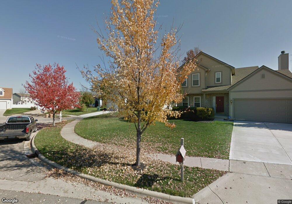
5612 Falco Dr Westerville, OH 43081
West Albany NeighborhoodEstimated Value: $397,000 - $431,000
3
Beds
2
Baths
1,687
Sq Ft
$248/Sq Ft
Est. Value
About This Home
This home is located at 5612 Falco Dr, Westerville, OH 43081 and is currently estimated at $417,774, approximately $247 per square foot. 5612 Falco Dr is a home located in Franklin County with nearby schools including Avalon Elementary School, Northgate Intermediate, and Woodward Park Middle School.
Ownership History
Date
Name
Owned For
Owner Type
Purchase Details
Closed on
Jun 20, 2001
Sold by
Henderson Muriel W
Bought by
Thomas Tommy W and Thomas Pamela K
Current Estimated Value
Purchase Details
Closed on
Aug 12, 1998
Sold by
Diyanni Brothers Inc
Bought by
Henderson Arthur A and Henderson Muriel H
Purchase Details
Closed on
Mar 12, 1998
Sold by
Cardinal Title Holding Company
Bought by
Diyanni Brothers Inc
Create a Home Valuation Report for This Property
The Home Valuation Report is an in-depth analysis detailing your home's value as well as a comparison with similar homes in the area
Home Values in the Area
Average Home Value in this Area
Purchase History
| Date | Buyer | Sale Price | Title Company |
|---|---|---|---|
| Thomas Tommy W | $186,000 | Chicago Title West | |
| Henderson Arthur A | $176,000 | Title First Agency Inc | |
| Diyanni Brothers Inc | $31,400 | Title First Agency |
Source: Public Records
Tax History Compared to Growth
Tax History
| Year | Tax Paid | Tax Assessment Tax Assessment Total Assessment is a certain percentage of the fair market value that is determined by local assessors to be the total taxable value of land and additions on the property. | Land | Improvement |
|---|---|---|---|---|
| 2024 | $5,807 | $129,400 | $39,380 | $90,020 |
| 2023 | $5,733 | $129,395 | $39,375 | $90,020 |
| 2022 | $4,778 | $92,120 | $16,800 | $75,320 |
| 2021 | $4,786 | $92,120 | $16,800 | $75,320 |
| 2020 | $4,392 | $84,420 | $16,800 | $67,620 |
| 2019 | $4,255 | $70,140 | $14,000 | $56,140 |
| 2018 | $4,008 | $70,140 | $14,000 | $56,140 |
| 2017 | $4,252 | $70,140 | $14,000 | $56,140 |
| 2016 | $4,153 | $62,690 | $14,140 | $48,550 |
| 2015 | $3,770 | $62,690 | $14,140 | $48,550 |
| 2014 | $3,779 | $62,690 | $14,140 | $48,550 |
| 2013 | $1,776 | $59,710 | $13,475 | $46,235 |
Source: Public Records
Map
Nearby Homes
- 5556 Falco Dr
- 5600 Apothecary Way
- 5604 Apothecary Way Unit 4
- 5656 Apothecary Way Unit 2
- 6813 Ridge Rock Dr Unit 14
- 6501 Walnut Fork Dr Unit 6501
- 6455 Walnut Fork Dr Unit 6455
- 6498 Ash Rock Cir Unit 6498
- 6950 Harlem Rd
- 6923 Rothwell St Unit 46923
- 5730 Colts Gate Dr Unit 43
- 6931 Rothwell St Unit 36931
- 5478 Albany Terrace Way Unit 1405
- 5777 Colts Gate Dr Unit 44
- 6221 Hudson Reserve Way
- 5937 Seffner Dr
- 5288 Abby Gate Ave Unit 16
- 5981 Niahway St Unit 57
- 0 N Hamilton Rd
- 5798 Aristides Way