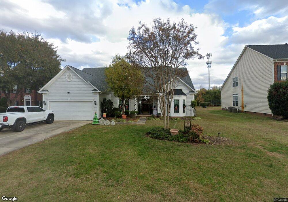
5612 Ginger Ln Indian Trail, NC 28079
Estimated Value: $489,124 - $526,000
4
Beds
3
Baths
2,500
Sq Ft
$201/Sq Ft
Est. Value
About This Home
This home is located at 5612 Ginger Ln, Indian Trail, NC 28079 and is currently estimated at $503,031, approximately $201 per square foot. 5612 Ginger Ln is a home located in Union County with nearby schools including Poplin Elementary School, Porter Ridge Middle School, and Porter Ridge High School.
Ownership History
Date
Name
Owned For
Owner Type
Purchase Details
Closed on
Sep 30, 2008
Sold by
Smith Elizabeth J
Bought by
Landrum Barry W and Landrum Marcie G
Current Estimated Value
Home Financials for this Owner
Home Financials are based on the most recent Mortgage that was taken out on this home.
Original Mortgage
$211,800
Outstanding Balance
$139,518
Interest Rate
6.49%
Mortgage Type
Unknown
Estimated Equity
$363,513
Purchase Details
Closed on
Sep 19, 2002
Sold by
Nvr Inc
Bought by
Smith Richard P and Smith Elizabeth J
Purchase Details
Closed on
Oct 25, 2001
Sold by
The Mathisen Company
Bought by
Nvr Inc
Create a Home Valuation Report for This Property
The Home Valuation Report is an in-depth analysis detailing your home's value as well as a comparison with similar homes in the area
Home Values in the Area
Average Home Value in this Area
Purchase History
| Date | Buyer | Sale Price | Title Company |
|---|---|---|---|
| Landrum Barry W | $232,500 | None Available | |
| Smith Richard P | $215,000 | -- | |
| Nvr Inc | $68,000 | -- |
Source: Public Records
Mortgage History
| Date | Status | Borrower | Loan Amount |
|---|---|---|---|
| Open | Landrum Barry W | $211,800 |
Source: Public Records
Tax History
| Year | Tax Paid | Tax Assessment Tax Assessment Total Assessment is a certain percentage of the fair market value that is determined by local assessors to be the total taxable value of land and additions on the property. | Land | Improvement |
|---|---|---|---|---|
| 2025 | $3,531 | $530,800 | $0 | $0 |
| 2024 | $2,863 | $328,500 | $50,700 | $277,800 |
| 2023 | $2,742 | $328,500 | $50,700 | $277,800 |
| 2022 | $2,787 | $328,500 | $50,700 | $277,800 |
| 2021 | $2,746 | $328,500 | $50,700 | $277,800 |
| 2020 | $1,699 | $217,900 | $28,000 | $189,900 |
| 2019 | $2,289 | $217,900 | $28,000 | $189,900 |
| 2018 | $1,699 | $217,900 | $28,000 | $189,900 |
| 2017 | $2,343 | $217,900 | $28,000 | $189,900 |
| 2016 | $2,277 | $217,900 | $28,000 | $189,900 |
| 2015 | $1,804 | $217,900 | $28,000 | $189,900 |
| 2014 | $1,575 | $220,430 | $37,500 | $182,930 |
Source: Public Records
Map
Nearby Homes
- 1541 Banham Dr
- 1433 Harleston St
- 4005 Sages Ave
- 6931 Creft Cir
- 3805 Balsam St Unit 219
- 3805 Balsam St Unit 322
- 3805 Balsam St Unit 223
- 3805 Balsam St Unit 321
- 3800 York Aly
- 3509 Mayhurst Dr
- 6726 1st Ave
- 3804 Lincoln Ct
- 3704 Brookstone Trail
- 6310 Olsen Ln
- 1069 Mapletree Ln
- 1092 Mapletree Ln
- 1010 Mapletree Ln
- 1085 Mapletree Ln
- 1077 Mapletree Ln
- 6218 Indian Trail Fairview Rd
- 5610 Ginger Ln
- 5610 Ginger Ln Unit 59
- 5614 Ginger Ln
- 5606 Ginger Ln
- 5618 Ginger Ln
- 5619 Ginger Ln
- 5613 Ginger Ln
- 5611 Ginger Ln
- 5604 Ginger Ln
- 5615 Ginger Ln
- 5609 Ginger Ln
- 5614 Beverly Dr
- 5602 Ginger Ln
- 5607 Ginger Ln
- 6632 Courtland St
- 6628 Courtland St
- 5605 Ginger Ln
- 6631 Courtland St
- 5601 Ginger Ln
- 5518 Beverly Dr
Your Personal Tour Guide
Ask me questions while you tour the home.