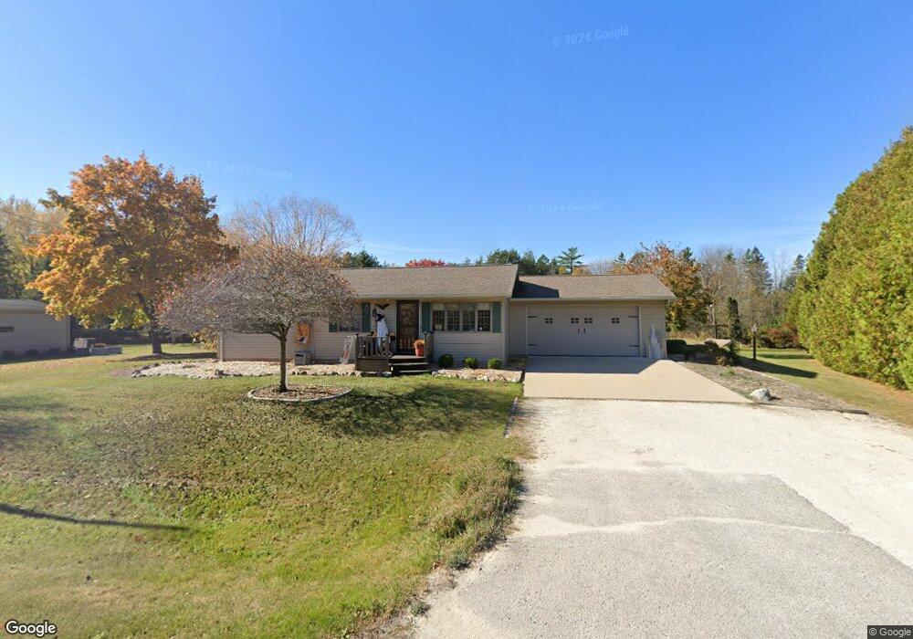
5612 Pheasant Cir Manitowoc, WI 54220
Estimated Value: $226,000 - $269,443
--
Bed
--
Bath
--
Sq Ft
1.3
Acres
About This Home
This home is located at 5612 Pheasant Cir, Manitowoc, WI 54220 and is currently estimated at $247,722. 5612 Pheasant Cir is a home located in Manitowoc County with nearby schools including Riverview Elementary School, Wilson Middle School, and Lincoln High School.
Ownership History
Date
Name
Owned For
Owner Type
Purchase Details
Closed on
Aug 21, 2014
Sold by
Paulson Ann F
Bought by
Keil Craig G and Keil Sandra K
Current Estimated Value
Home Financials for this Owner
Home Financials are based on the most recent Mortgage that was taken out on this home.
Original Mortgage
$138,000
Outstanding Balance
$108,575
Interest Rate
4.99%
Mortgage Type
New Conventional
Estimated Equity
$139,147
Purchase Details
Closed on
Oct 25, 2013
Sold by
Paulson Ann F
Bought by
Keil Craig G
Purchase Details
Closed on
May 11, 2008
Sold by
Paulson Tracy J
Bought by
Paulson Ann F
Create a Home Valuation Report for This Property
The Home Valuation Report is an in-depth analysis detailing your home's value as well as a comparison with similar homes in the area
Home Values in the Area
Average Home Value in this Area
Purchase History
| Date | Buyer | Sale Price | Title Company |
|---|---|---|---|
| Keil Craig G | -- | -- | |
| Keil Craig G | $149,500 | -- | |
| Paulson Ann F | $153,700 | -- |
Source: Public Records
Mortgage History
| Date | Status | Borrower | Loan Amount |
|---|---|---|---|
| Open | Keil Craig G | $138,000 |
Source: Public Records
Tax History Compared to Growth
Tax History
| Year | Tax Paid | Tax Assessment Tax Assessment Total Assessment is a certain percentage of the fair market value that is determined by local assessors to be the total taxable value of land and additions on the property. | Land | Improvement |
|---|---|---|---|---|
| 2024 | $2,838 | $148,800 | $30,500 | $118,300 |
| 2023 | $2,435 | $148,800 | $30,500 | $118,300 |
| 2022 | $1,980 | $148,800 | $30,500 | $118,300 |
| 2021 | $2,339 | $148,800 | $30,500 | $118,300 |
| 2020 | $2,274 | $148,800 | $30,500 | $118,300 |
| 2019 | $2,195 | $148,800 | $30,500 | $118,300 |
| 2018 | $2,160 | $148,800 | $30,500 | $118,300 |
| 2017 | $2,057 | $148,800 | $30,500 | $118,300 |
| 2016 | $2,198 | $148,800 | $30,500 | $118,300 |
| 2015 | $2,241 | $148,800 | $30,500 | $118,300 |
| 2014 | $2,185 | $148,800 | $30,500 | $118,300 |
| 2013 | $2,281 | $148,800 | $30,500 | $118,300 |
Source: Public Records
Map
Nearby Homes
- 4403 County Road Q
- 2315 Berringer Rd
- 2903 County Highway B -
- 2510 Stoney Brook Ct
- 2508 Stoney Brook Ct
- 1904 Crystal Springs Rd
- Lot24 Mosie Ct
- LT0 Mosie Ct
- 2423 County Highway Q -
- 2101 Hunters Ridge Ct
- Lt99 N 18th St
- 5205 Wagon Wheel Rd
- Lt0 Franz Rd
- 1925 Creekwood Ct
- 1903 Hidden Hollow Ln
- 2722 Woodland Dr
- 1936 Ravenswood Ln
- 1934 Ravenswood Ln
- 1928 Ravenswood Ln
- 1926 Ravenswood Ln
- 5624 Pheasant Cir
- 5603 Pheasant Cir
- 1322 Mallard Ln
- 5625 Quail Cir
- 1407 Mallard Ln
- 5613 Quail Cir
- 5619 Quail Cir
- 1405 Mallard Ln
- 1124 Mallard Ln
- 5615 Springwood Ln
- 1312 Ruby Ln
- 1206 Ruby Ln
- 1320 Ruby Ln
- 1118 Ruby Ln
- 5535 Springwood Ln
- 1032 Mallard Ln
- 1101 Mallard Ln
- 1408 Ruby Ln
- 5730 Pheasant Cir
- 1303 Ruby Ln