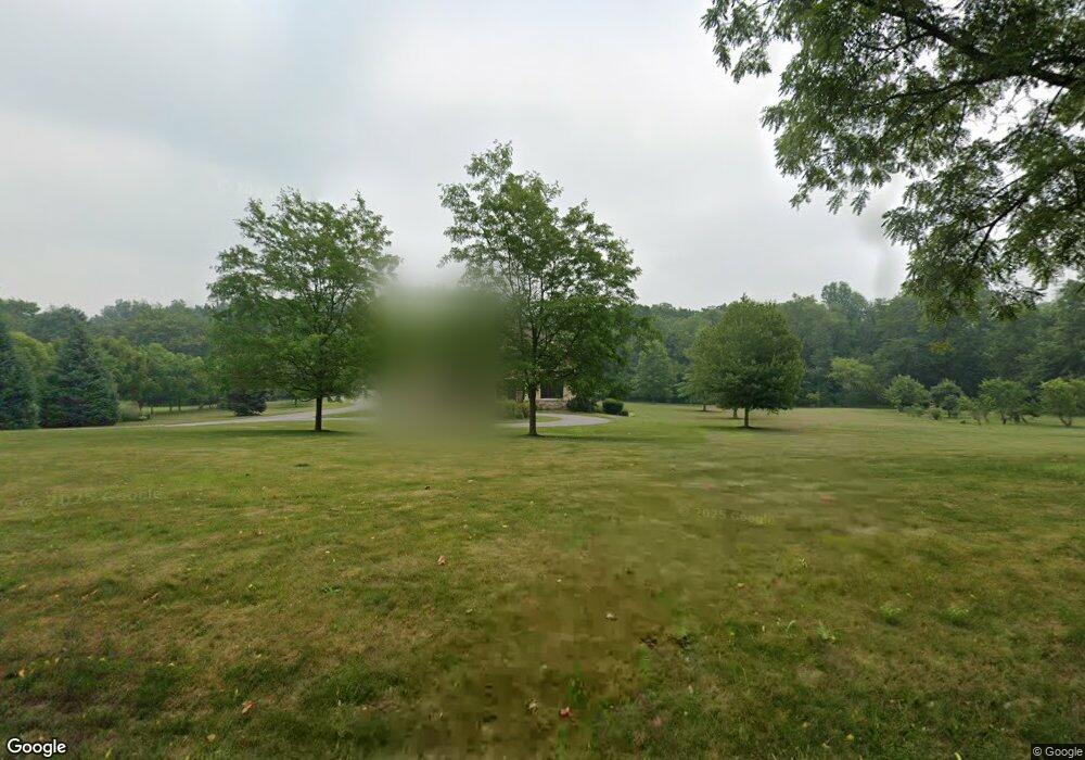
56120 Timothy Rd New Carlisle, IN 46552
Estimated Value: $812,000 - $931,000
4
Beds
4
Baths
5,174
Sq Ft
$172/Sq Ft
Est. Value
About This Home
This home is located at 56120 Timothy Rd, New Carlisle, IN 46552 and is currently estimated at $890,830, approximately $172 per square foot. 56120 Timothy Rd is a home located in St. Joseph County with nearby schools including New Prairie High School.
Ownership History
Date
Name
Owned For
Owner Type
Purchase Details
Closed on
Jun 10, 2021
Sold by
Mcbride Richard L
Bought by
Forrester Jeffrey and Strickler Paula J
Current Estimated Value
Home Financials for this Owner
Home Financials are based on the most recent Mortgage that was taken out on this home.
Original Mortgage
$520,000
Outstanding Balance
$433,200
Interest Rate
2.9%
Mortgage Type
New Conventional
Estimated Equity
$457,630
Purchase Details
Closed on
Oct 12, 2017
Sold by
Byus Rhonda
Bought by
Mcbridge Richard L
Create a Home Valuation Report for This Property
The Home Valuation Report is an in-depth analysis detailing your home's value as well as a comparison with similar homes in the area
Home Values in the Area
Average Home Value in this Area
Purchase History
| Date | Buyer | Sale Price | Title Company |
|---|---|---|---|
| Forrester Jeffrey | $740,000 | None Available | |
| Mcbridge Richard L | -- | -- |
Source: Public Records
Mortgage History
| Date | Status | Borrower | Loan Amount |
|---|---|---|---|
| Open | Forrester Jeffrey | $520,000 |
Source: Public Records
Tax History Compared to Growth
Tax History
| Year | Tax Paid | Tax Assessment Tax Assessment Total Assessment is a certain percentage of the fair market value that is determined by local assessors to be the total taxable value of land and additions on the property. | Land | Improvement |
|---|---|---|---|---|
| 2024 | $7,145 | $639,800 | $69,700 | $570,100 |
| 2023 | $7,083 | $574,800 | $69,700 | $505,100 |
| 2022 | $6,074 | $514,400 | $69,700 | $444,700 |
| 2021 | $5,039 | $400,900 | $42,400 | $358,500 |
| 2020 | $5,191 | $406,700 | $42,400 | $364,300 |
| 2019 | $5,270 | $412,700 | $43,000 | $369,700 |
| 2018 | $5,142 | $416,700 | $38,500 | $378,200 |
| 2017 | $5,408 | $413,700 | $38,500 | $375,200 |
| 2016 | $5,330 | $362,100 | $65,900 | $296,200 |
| 2014 | $5,022 | $370,400 | $68,100 | $302,300 |
Source: Public Records
Map
Nearby Homes
- 32811 Nature View Dr
- 32980 Nature View Dr
- The Gipper Plan at Stone Oak Estates
- The Sorin Plan at Stone Oak Estates
- The Leahy Plan at Stone Oak Estates
- The Ara Plan at Stone Oak Estates
- The Rockne Plan at Stone Oak Estates
- The Badin Plan at Stone Oak Estates
- The Kelley Plan at Stone Oak Estates
- 55751 Wood Duck Ct
- 32946 Barn Owl Ct
- 55420 Forest Cove Ct
- 33740 Early Rd
- 33750 Early Rd
- 33760 Early Rd
- 33800 Early Rd
- 33770 Early Rd
- 33791 Early Rd
- 33780 Early Rd
- 33790 Early Rd
- 56110 Timothy Rd
- 56161 Timothy Rd
- 56150 Timothy Rd
- 56250 Timothy Rd
- 56026 Timothy Rd
- 56300 Timothy Rd
- 56211 Timothy Rd
- 56240 Timothy Rd
- 56460 Timothy Rd
- 55950 Timothy Rd
- 56405 Timothy Rd
- 56470 Timothy Rd
- 56469 Timothy Rd
- 32867 State Road 2
- 32894 Cardinal Ct
- 32874 Cardinal Ct
- 55890 Timothy Rd
- 32957 State Road 2
- 56451 Timothy Rd
- 32856 Cardinal Ct