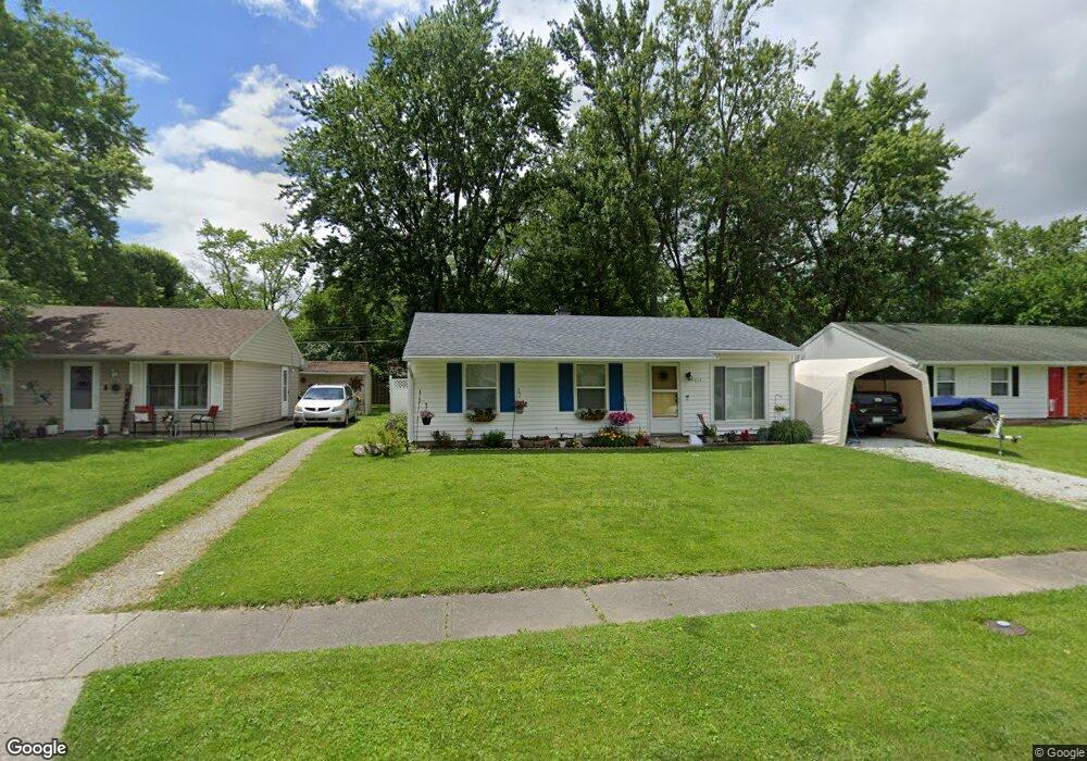
5613 Wampum Dr Kokomo, IN 46902
Indian Heights NeighborhoodEstimated Value: $127,000 - $148,000
3
Beds
1
Bath
1,152
Sq Ft
$119/Sq Ft
Est. Value
About This Home
This home is located at 5613 Wampum Dr, Kokomo, IN 46902 and is currently estimated at $136,662, approximately $118 per square foot. 5613 Wampum Dr is a home located in Howard County with nearby schools including Taylor Elementary School, Taylor Middle School, and Taylor High School.
Ownership History
Date
Name
Owned For
Owner Type
Purchase Details
Closed on
Sep 16, 2020
Sold by
Sarber Michelle D
Bought by
Glosser William and Glosser Michelle D
Current Estimated Value
Home Financials for this Owner
Home Financials are based on the most recent Mortgage that was taken out on this home.
Original Mortgage
$50,400
Outstanding Balance
$35,887
Interest Rate
2.8%
Mortgage Type
New Conventional
Estimated Equity
$100,775
Purchase Details
Closed on
Sep 15, 2020
Sold by
Sarber Michelle D
Bought by
Glosser William and Glosser Michelle D
Home Financials for this Owner
Home Financials are based on the most recent Mortgage that was taken out on this home.
Original Mortgage
$50,400
Outstanding Balance
$35,887
Interest Rate
2.8%
Mortgage Type
New Conventional
Estimated Equity
$100,775
Create a Home Valuation Report for This Property
The Home Valuation Report is an in-depth analysis detailing your home's value as well as a comparison with similar homes in the area
Home Values in the Area
Average Home Value in this Area
Purchase History
| Date | Buyer | Sale Price | Title Company |
|---|---|---|---|
| Glosser William | $67,032 | Grzegorski Eric D | |
| Glosser William | -- | None Listed On Document |
Source: Public Records
Mortgage History
| Date | Status | Borrower | Loan Amount |
|---|---|---|---|
| Open | Glosser William | $50,400 | |
| Closed | Glosser William | $50,400 |
Source: Public Records
Tax History Compared to Growth
Tax History
| Year | Tax Paid | Tax Assessment Tax Assessment Total Assessment is a certain percentage of the fair market value that is determined by local assessors to be the total taxable value of land and additions on the property. | Land | Improvement |
|---|---|---|---|---|
| 2024 | $747 | $90,700 | $13,100 | $77,600 |
| 2022 | $695 | $81,400 | $13,100 | $68,300 |
| 2021 | $475 | $66,700 | $10,300 | $56,400 |
| 2020 | $433 | $59,700 | $10,300 | $49,400 |
| 2019 | $399 | $53,800 | $10,300 | $43,500 |
| 2018 | $387 | $52,300 | $10,300 | $42,000 |
| 2017 | $268 | $46,300 | $11,500 | $34,800 |
| 2016 | $271 | $46,300 | $11,500 | $34,800 |
| 2014 | $229 | $42,600 | $11,500 | $31,100 |
| 2013 | $236 | $45,500 | $11,500 | $34,000 |
Source: Public Records
Map
Nearby Homes
- 1104 Wigwam Dr
- 1109 Peace Pipe Dr
- 907 Wingra Ct
- 5405 Wea Dr
- 835 Lando Creek Dr
- 806 Maumee Dr
- 832 Lando Creek Dr
- 5234 Council Ring Blvd
- 1012 Chippewa Ln
- 5808 Mendota Dr
- 6002 Council Ring Blvd
- 849 Lando Creek Dr
- 844 Lando Creek Dr
- 726 Springwater Rd
- 846 Springwater Rd
- 5213 Wea Dr
- Spruce Plan at Highland Springs
- Walnut Plan at Highland Springs
- Chestnut Plan at Highland Springs
- Cooper Plan at Highland Springs