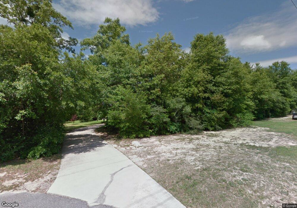
5614 Leytham Rd Unit 1 Theodore, AL 36582
Cedar Grove NeighborhoodEstimated Value: $375,000 - $554,000
4
Beds
4
Baths
2,931
Sq Ft
$153/Sq Ft
Est. Value
About This Home
This home is located at 5614 Leytham Rd Unit 1, Theodore, AL 36582 and is currently estimated at $448,269, approximately $152 per square foot. 5614 Leytham Rd Unit 1 is a home located in Mobile County with nearby schools including Pearl Haskew Elementary School, Katherine H Hankins Middle School, and Theodore High School.
Ownership History
Date
Name
Owned For
Owner Type
Purchase Details
Closed on
Mar 22, 2006
Sold by
Leytham Ralph D and Leytham Pearl O
Bought by
Makler Charlene A and Nelson Charles A
Current Estimated Value
Home Financials for this Owner
Home Financials are based on the most recent Mortgage that was taken out on this home.
Original Mortgage
$250,000
Outstanding Balance
$141,790
Interest Rate
6.23%
Mortgage Type
Construction
Estimated Equity
$306,479
Create a Home Valuation Report for This Property
The Home Valuation Report is an in-depth analysis detailing your home's value as well as a comparison with similar homes in the area
Home Values in the Area
Average Home Value in this Area
Purchase History
| Date | Buyer | Sale Price | Title Company |
|---|---|---|---|
| Makler Charlene A | -- | The Guarantee Title Co Llc |
Source: Public Records
Mortgage History
| Date | Status | Borrower | Loan Amount |
|---|---|---|---|
| Open | Makler Charlene A | $250,000 |
Source: Public Records
Tax History Compared to Growth
Tax History
| Year | Tax Paid | Tax Assessment Tax Assessment Total Assessment is a certain percentage of the fair market value that is determined by local assessors to be the total taxable value of land and additions on the property. | Land | Improvement |
|---|---|---|---|---|
| 2024 | $2,039 | $39,800 | $7,290 | $32,510 |
| 2023 | $1,851 | $37,050 | $6,330 | $30,720 |
| 2022 | $1,632 | $35,010 | $4,430 | $30,580 |
| 2021 | $1,666 | $35,720 | $4,430 | $31,290 |
| 2020 | $1,624 | $34,830 | $3,190 | $31,640 |
| 2019 | $1,494 | $32,150 | $3,190 | $28,960 |
| 2018 | $1,509 | $32,500 | $0 | $0 |
| 2017 | $1,370 | $29,620 | $0 | $0 |
| 2016 | $1,583 | $34,020 | $0 | $0 |
| 2013 | $1,438 | $30,760 | $0 | $0 |
Source: Public Records
Map
Nearby Homes
- 8409 Robert Jefferson Dr S
- 5425 Royal Oaks Dr
- 8025 Huber Rd
- 5370 Cimaron Ct
- 5275 Fletching Ct
- 5873 Lundy Rd
- 8179 Cheyenne St S
- 6030 Lundy Rd
- 6067 Lundy Rd
- 6077 Lundy Rd
- 6102 Lundy Rd
- 6087 Lundy Rd
- 6107 Lundy Rd
- 6117 Lundy Rd
- The Cairn Plan at The Crossings
- The Denton Plan at The Crossings
- 5229 Roswell Rd S
- 8188 Cheyenne St N
- 6128 Creel Rd
- 6172 Pin Oak Dr E
- 5536 Leytham Rd
- 5536C Leytham Rd
- 8331 Holloway Dr N
- 5567 Leytham Rd
- 5563 Leytham Rd
- 5522 Leytham Rd
- 8351 Holloway Dr N
- 5671 Albert Leytham Dr
- 8350 Holloway Dr N
- 5681 Albert Leytham Dr
- 5482 Leytham Rd
- 5482 Leytham Rd
- 5691 Albert Leytham Dr
- 8355 Holloway Dr N
- 5717 Albert Leytham Dr
- 5460 Leytham Rd
- 5588 Versye Ave
- 5521 Robert Jefferson Dr E
- 5475 Leytham Rd
- 5705 Albert Leytham Dr
