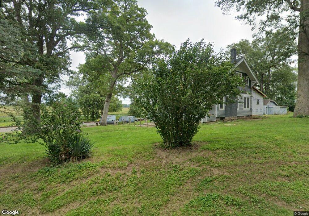
5614 Old Route 70 Springfield, OH 45502
Estimated Value: $216,000 - $278,000
3
Beds
1
Bath
1,596
Sq Ft
$154/Sq Ft
Est. Value
About This Home
This home is located at 5614 Old Route 70, Springfield, OH 45502 and is currently estimated at $245,737, approximately $153 per square foot. 5614 Old Route 70 is a home located in Clark County with nearby schools including Northeastern Elementary School, Northeastern Middle & High School, and Twin Oaks Sda Elementary School.
Ownership History
Date
Name
Owned For
Owner Type
Purchase Details
Closed on
Aug 12, 2021
Sold by
Estate Of Alonzo Jefferson Blevins
Bought by
Powell Cheryl and Blevins Alonzo
Current Estimated Value
Purchase Details
Closed on
Aug 2, 2021
Sold by
Blevins Alonzo
Bought by
Powell Cheryl
Purchase Details
Closed on
Jul 3, 1989
Sold by
Blevins Alonzo J
Bought by
Blevins Cheryl A
Create a Home Valuation Report for This Property
The Home Valuation Report is an in-depth analysis detailing your home's value as well as a comparison with similar homes in the area
Home Values in the Area
Average Home Value in this Area
Purchase History
| Date | Buyer | Sale Price | Title Company |
|---|---|---|---|
| Powell Cheryl | -- | None Available | |
| Powell Cheryl | -- | None Available | |
| Blevins Cheryl A | -- | -- |
Source: Public Records
Tax History Compared to Growth
Tax History
| Year | Tax Paid | Tax Assessment Tax Assessment Total Assessment is a certain percentage of the fair market value that is determined by local assessors to be the total taxable value of land and additions on the property. | Land | Improvement |
|---|---|---|---|---|
| 2024 | $1,662 | $43,010 | $11,150 | $31,860 |
| 2023 | $1,662 | $39,060 | $11,150 | $27,910 |
| 2022 | $1,668 | $39,060 | $11,150 | $27,910 |
| 2021 | $1,482 | $29,430 | $8,390 | $21,040 |
| 2020 | $1,019 | $29,430 | $8,390 | $21,040 |
| 2019 | $1,039 | $29,430 | $8,390 | $21,040 |
| 2018 | $977 | $27,560 | $6,990 | $20,570 |
| 2017 | $828 | $27,563 | $6,990 | $20,573 |
| 2016 | $820 | $27,563 | $6,990 | $20,573 |
| 2015 | $735 | $24,812 | $6,990 | $17,822 |
| 2014 | $735 | $24,812 | $6,990 | $17,822 |
| 2013 | $733 | $24,812 | $6,990 | $17,822 |
Source: Public Records
Map
Nearby Homes
- 2800 Craig Rd
- 2212 Ridge Rd
- 2164 Ridge Rd
- 5073 Kerns Rd
- 1738 Newlove Rd
- 4817 N River Rd
- 1320 S Bird Rd
- 416 S Landon Ln
- 410 S Landon Ln
- 414 S Landon Ln
- 2958 E Possum Rd
- The McPherson Plan at Melody Parks - Designer Collection
- Wyatt Plan at Melody Parks - Designer Collection
- Winston Plan at Melody Parks - Designer Collection
- Carrington Plan at Melody Parks - Designer Collection
- Blair Plan at Melody Parks - Designer Collection
- Emmett Plan at Melody Parks - Designer Collection
- Charles Plan at Melody Parks - Designer Collection
- Calvin Plan at Melody Parks - Designer Collection
- Avery Plan at Melody Parks - Designer Collection
- 5585 Old Route 70
- 2531 Craig Rd
- 2575 Craig Rd
- 2608 Craig Rd
- 2607 Craig Rd
- 5585 Old Route 70
- 5661 Old Route 70
- 2662 Craig Rd
- 2684 Craig Rd
- 5375 S Charleston Pike
- 2647 Craig Rd
- 0 Whitridge Rd
- 2708 Craig Rd
- 5460 S Charleston Pike
- 2711 Craig Rd
- 5380 S Charleston Pike
- 2774 Craig Rd
- 2707 Craig Rd
- 5326 S Charleston Pike
- 2824 Craig Rd