5614 Thomas Dr Waynesville, OH 45068
Wayne Township NeighborhoodEstimated Value: $616,060 - $705,000
3
Beds
3
Baths
2,464
Sq Ft
$263/Sq Ft
Est. Value
About This Home
This home is located at 5614 Thomas Dr, Waynesville, OH 45068 and is currently estimated at $647,765, approximately $262 per square foot. 5614 Thomas Dr is a home located in Warren County with nearby schools including Waynesville Elementary School, Waynesville Middle School, and Waynesville High School.
Ownership History
Date
Name
Owned For
Owner Type
Purchase Details
Closed on
Nov 2, 2005
Sold by
Countrytyme Lebanon Ltd
Bought by
Hucul Michael P and Hucul Carol L
Current Estimated Value
Home Financials for this Owner
Home Financials are based on the most recent Mortgage that was taken out on this home.
Original Mortgage
$298,500
Outstanding Balance
$172,268
Interest Rate
5.98%
Mortgage Type
Construction
Estimated Equity
$475,497
Create a Home Valuation Report for This Property
The Home Valuation Report is an in-depth analysis detailing your home's value as well as a comparison with similar homes in the area
Home Values in the Area
Average Home Value in this Area
Purchase History
| Date | Buyer | Sale Price | Title Company |
|---|---|---|---|
| Hucul Michael P | $62,900 | Commerce Title |
Source: Public Records
Mortgage History
| Date | Status | Borrower | Loan Amount |
|---|---|---|---|
| Open | Hucul Michael P | $298,500 |
Source: Public Records
Tax History Compared to Growth
Tax History
| Year | Tax Paid | Tax Assessment Tax Assessment Total Assessment is a certain percentage of the fair market value that is determined by local assessors to be the total taxable value of land and additions on the property. | Land | Improvement |
|---|---|---|---|---|
| 2024 | $5,771 | $143,530 | $38,230 | $105,300 |
| 2023 | $5,482 | $119,553 | $26,365 | $93,187 |
| 2022 | $5,361 | $119,553 | $26,366 | $93,188 |
| 2021 | $5,141 | $119,553 | $26,366 | $93,188 |
| 2020 | $4,848 | $97,195 | $21,434 | $75,761 |
| 2019 | $4,855 | $97,195 | $21,434 | $75,761 |
| 2018 | $4,812 | $97,195 | $21,434 | $75,761 |
| 2017 | $5,235 | $97,867 | $19,488 | $78,379 |
| 2016 | $4,886 | $97,867 | $19,488 | $78,379 |
| 2015 | $4,894 | $97,867 | $19,488 | $78,379 |
| 2014 | $4,711 | $89,320 | $18,070 | $71,250 |
| 2013 | $4,660 | $104,940 | $20,660 | $84,280 |
Source: Public Records
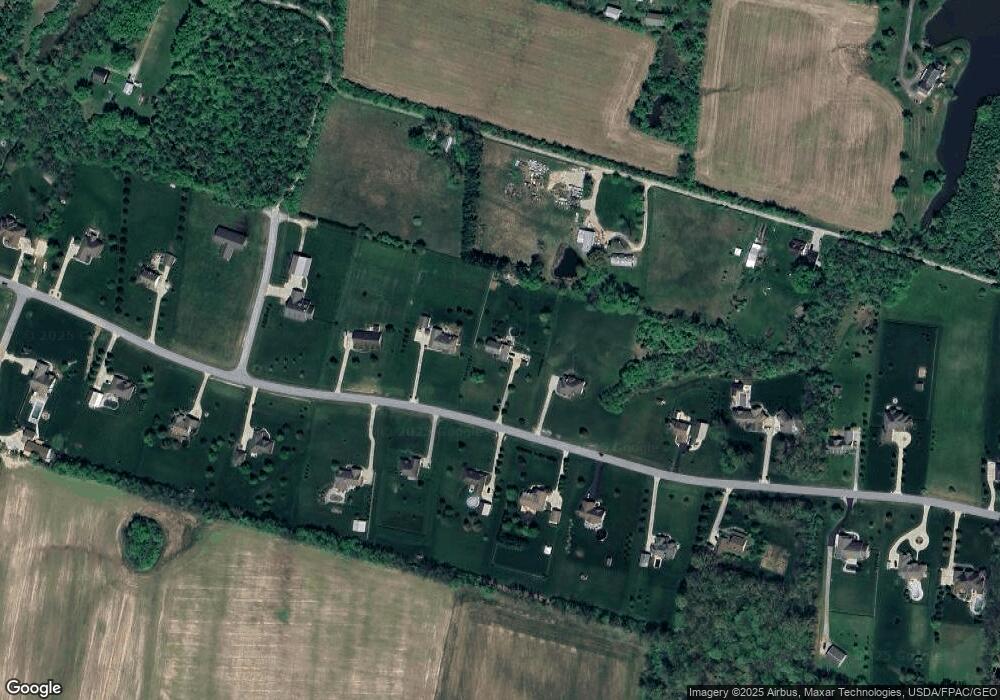
Map
Nearby Homes
- 0 Mount Holly Rd
- 9510 Bellbrook Rd
- 8976 Ferry Rd
- 4001 E Social Row Rd
- 4103 Middle Run Rd
- 9161 Old Stage Rd
- 8519 Old Stage Rd
- 2 Acres Mount Holly Rd
- 7364 Cook Jones Rd
- 1198 Lytle Rd
- 1106 Lytle Rd
- 1036 Bayberry Dr
- 1106 Brookfield Dr Unit 1106
- 9543 Hacker Farm Ln
- 3950 E State Route 73
- 7219 N Route 42
- 7219 U S 42
- 2211 E Social Row Rd
- 363 Victoria Place
- 7902 N US Rt 42
- 5576 Thomas Dr
- 5670 Thomas Dr
- 9743 Bellbrook Rd
- 5615 Thomas Dr
- 5536 Thomas Dr
- 5651 Thomas Dr
- 5575 Thomas Dr
- 5689 Thomas Dr
- 5708 Thomas Dr
- 9751 Bellbrook Rd
- 5537 Thomas Dr
- 9664 Seminole Trace
- 1 Thomas Dr
- Lot 1 Thomas Dr
- 0 Thomas Dr Unit Lot 2 476606
- 0 Thomas Dr Unit 1432777
- 27 Thomas Dr
- 2 Thomas
- 0 Thomas Dr Unit 606049
- 5784 Thomas Dr