5615 Liberty Rd N Powell, OH 43065
Liberty Township NeighborhoodEstimated Value: $738,000 - $847,000
4
Beds
3
Baths
3,159
Sq Ft
$249/Sq Ft
Est. Value
About This Home
This home is located at 5615 Liberty Rd N, Powell, OH 43065 and is currently estimated at $786,067, approximately $248 per square foot. 5615 Liberty Rd N is a home located in Delaware County with nearby schools including Liberty Tree Elementary School, Hyatts Middle School, and Olentangy Berlin High School.
Ownership History
Date
Name
Owned For
Owner Type
Purchase Details
Closed on
Aug 21, 2020
Sold by
Mcguire Jeremy T and Mcguire Erin L
Bought by
Lumbaca Joseph and Joseph Lumbaca Trust
Current Estimated Value
Purchase Details
Closed on
Apr 15, 2005
Sold by
Meridian Homes Inc
Bought by
Mcguire Jeremy T and Mcguire Erin L
Home Financials for this Owner
Home Financials are based on the most recent Mortgage that was taken out on this home.
Original Mortgage
$264,000
Interest Rate
4.25%
Mortgage Type
New Conventional
Create a Home Valuation Report for This Property
The Home Valuation Report is an in-depth analysis detailing your home's value as well as a comparison with similar homes in the area
Home Values in the Area
Average Home Value in this Area
Purchase History
| Date | Buyer | Sale Price | Title Company |
|---|---|---|---|
| Lumbaca Joseph | $550,000 | None Available | |
| Mcguire Jeremy T | $330,000 | Lawyers Title Agency Of Dela |
Source: Public Records
Mortgage History
| Date | Status | Borrower | Loan Amount |
|---|---|---|---|
| Previous Owner | Mcguire Jeremy T | $264,000 | |
| Closed | Mcguire Jeremy T | $16,500 |
Source: Public Records
Tax History Compared to Growth
Tax History
| Year | Tax Paid | Tax Assessment Tax Assessment Total Assessment is a certain percentage of the fair market value that is determined by local assessors to be the total taxable value of land and additions on the property. | Land | Improvement |
|---|---|---|---|---|
| 2024 | $12,002 | $222,010 | $45,190 | $176,820 |
| 2023 | $12,049 | $222,010 | $45,190 | $176,820 |
| 2022 | $10,274 | $150,230 | $32,380 | $117,850 |
| 2021 | $8,864 | $158,770 | $40,920 | $117,850 |
| 2020 | $10,754 | $158,770 | $40,920 | $117,850 |
| 2019 | $9,175 | $141,230 | $34,090 | $107,140 |
| 2018 | $9,207 | $141,230 | $34,090 | $107,140 |
| 2017 | $8,038 | $111,580 | $26,390 | $85,190 |
| 2016 | $7,735 | $111,580 | $26,390 | $85,190 |
| 2015 | $6,991 | $111,580 | $26,390 | $85,190 |
| 2014 | $7,076 | $111,580 | $26,390 | $85,190 |
| 2013 | $7,240 | $111,580 | $26,390 | $85,190 |
Source: Public Records
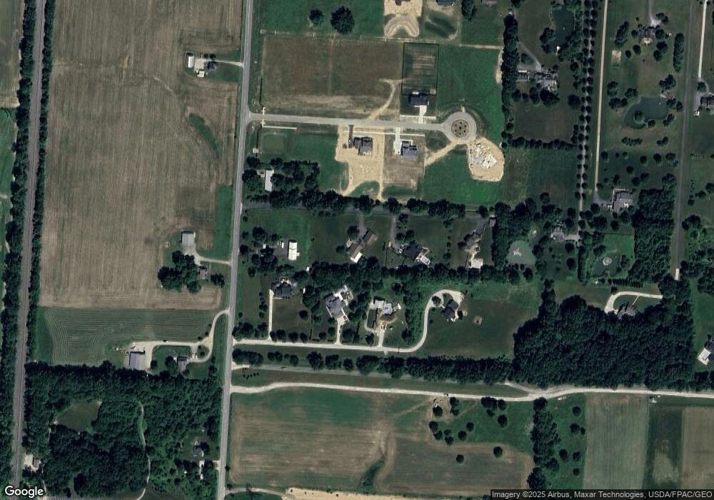
Map
Nearby Homes
- 2661 Main St
- 2073 Liberty Trail
- 2481 Clark Shaw Rd
- 2513 Clark Shaw Rd
- 5482 Dutch Ln
- 5488 Fawnsbury Ct
- 5492 Fawnsbury Ct
- 5480 Fawnsbury Ct
- 5484 Fawnsbury Ct
- 5502 Dutch Ln
- 5479 Fawnsbury Ct
- 5487 Fawnsbury Ct
- 2770 Drycreek Ct
- 2762 Drycreek Ct
- 2746 Drycreek Ct
- 5515 Fawnsbury Ct
- 2753 Drycreek Ct
- 2752 Drycreek Ct
- 5507 Fawnsbury Ct
- 5519 Fawnsbury Ct
- 5655 Liberty Rd N
- 5611 Liberty Rd N
- 5677 Liberty Rd N
- 5643 Liberty Rd N
- 7065 Thea Ln
- 5591 Liberty Rd N
- 5607 Liberty Rd N
- 5683 Liberty Rd N
- 0 Thea Ln Unit Tract 11 223029671
- 0 Thea Ln Unit Tract 10 223029668
- 0 Thea Ln Unit Tract 8 223029664
- 0 Thea Ln Unit Tract 5 223029655
- 2035 Hardin Ln
- 5680 Liberty Rd N
- 5510 Liberty Rd N
- 2085 Hardin Ln
- 5788 Liberty Rd N
- 2015 Hardin Ln
- 1955 Hardin Ln
- 2105 Hardin Ln