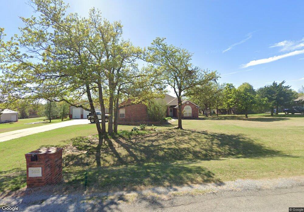
5615 Lost Deer Dr Newalla, OK 74857
Edendale Estates-Newalla NeighborhoodEstimated Value: $377,000 - $435,000
3
Beds
3
Baths
2,088
Sq Ft
$190/Sq Ft
Est. Value
About This Home
This home is located at 5615 Lost Deer Dr, Newalla, OK 74857 and is currently estimated at $397,758, approximately $190 per square foot. 5615 Lost Deer Dr is a home located in Oklahoma County with nearby schools including Virginia Smith Elementary School, Russell Babb Elementary School, and Clara Reynolds Elementary School.
Ownership History
Date
Name
Owned For
Owner Type
Purchase Details
Closed on
Jul 5, 2006
Sold by
Cotney Gloria J
Bought by
Smith Keith R and Smith Tina L
Current Estimated Value
Home Financials for this Owner
Home Financials are based on the most recent Mortgage that was taken out on this home.
Original Mortgage
$206,083
Outstanding Balance
$122,008
Interest Rate
6.6%
Mortgage Type
VA
Estimated Equity
$275,750
Create a Home Valuation Report for This Property
The Home Valuation Report is an in-depth analysis detailing your home's value as well as a comparison with similar homes in the area
Home Values in the Area
Average Home Value in this Area
Purchase History
| Date | Buyer | Sale Price | Title Company |
|---|---|---|---|
| Smith Keith R | $199,500 | Lawyers Title Of Ok City Inc |
Source: Public Records
Mortgage History
| Date | Status | Borrower | Loan Amount |
|---|---|---|---|
| Open | Smith Keith R | $206,083 |
Source: Public Records
Tax History Compared to Growth
Tax History
| Year | Tax Paid | Tax Assessment Tax Assessment Total Assessment is a certain percentage of the fair market value that is determined by local assessors to be the total taxable value of land and additions on the property. | Land | Improvement |
|---|---|---|---|---|
| 2024 | $3,042 | $28,846 | $3,930 | $24,916 |
| 2023 | $3,042 | $28,005 | $4,223 | $23,782 |
| 2022 | $3,011 | $27,189 | $4,625 | $22,564 |
| 2021 | $2,902 | $26,398 | $5,074 | $21,324 |
| 2020 | $2,892 | $25,630 | $4,994 | $20,636 |
| 2019 | $2,950 | $26,115 | $4,930 | $21,185 |
| 2018 | $2,908 | $25,355 | $0 | $0 |
| 2017 | $2,827 | $25,134 | $4,608 | $20,526 |
| 2016 | $2,783 | $24,474 | $4,608 | $19,866 |
| 2015 | $2,867 | $25,229 | $4,545 | $20,684 |
| 2014 | $2,770 | $24,495 | $4,398 | $20,097 |
Source: Public Records
Map
Nearby Homes
- 0 Halifax St
- 4600 S Harrah Rd
- 4353 Titan Terrace
- 4332 Titan Terrace
- 3816 Ada Ave
- 3881 River Mist Lake Dr
- 21086 River Mist Dr
- 21094 River Mist Dr
- RC Wright Plan at River Mist
- RC Carnegie II Plan at River Mist
- RC Kinsley II Plan at River Mist
- RC Lowell II Plan at River Mist
- RC Coleman Plan at River Mist
- RC Raleigh Plan at River Mist
- RC Foster II Plan at River Mist
- 3600 S Harrah Rd
- 21097 Rivermist Dr
- 3833 Dove Ave
- 3880 Louthea Ln
- 4230 Sundance Ln
- 5601 Lost Deer Dr
- 5701 Lost Deer Dr
- 5600 Panther Cove
- 5700 Lost Deer Dr
- 5512 Panther Cove
- 5600 Lost Deer Dr
- 5500 Panther Cove
- 5720 Lost Deer Dr
- 5715 Panther Cove
- 5615 Panther Cove
- 5500 Lost Deer Dr
- 5601 Panther Cove
- 5501 Panther Cove
- 5420 Lost Deer Dr
- 5515 Panther Cove
- 5525 Panther Cove
- 5421 Panther Cove
- 5800 Lost Deer Dr
- 5712 Midway Dr
- 5801 Lost Deer Dr