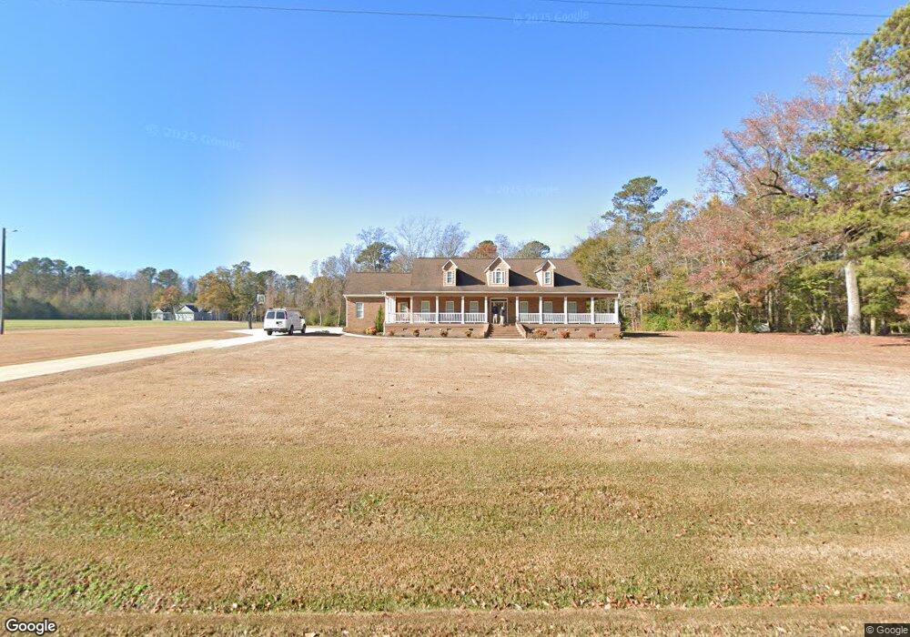
5615 Point Caswell Rd Atkinson, NC 28421
Estimated Value: $276,000 - $643,971
3
Beds
3
Baths
2,826
Sq Ft
$169/Sq Ft
Est. Value
About This Home
This home is located at 5615 Point Caswell Rd, Atkinson, NC 28421 and is currently estimated at $478,493, approximately $169 per square foot. 5615 Point Caswell Rd is a home with nearby schools including Malpass Corner Elementary School, West Pender Middle School, and Pender High School.
Ownership History
Date
Name
Owned For
Owner Type
Purchase Details
Closed on
Sep 10, 2008
Sold by
Clements Bethany Lee Lewis and Clements Steven Mark
Bought by
Corbett Jonathan L and Corbett Jamie C
Current Estimated Value
Create a Home Valuation Report for This Property
The Home Valuation Report is an in-depth analysis detailing your home's value as well as a comparison with similar homes in the area
Home Values in the Area
Average Home Value in this Area
Purchase History
| Date | Buyer | Sale Price | Title Company |
|---|---|---|---|
| Corbett Jonathan L | $28,000 | -- |
Source: Public Records
Tax History Compared to Growth
Tax History
| Year | Tax Paid | Tax Assessment Tax Assessment Total Assessment is a certain percentage of the fair market value that is determined by local assessors to be the total taxable value of land and additions on the property. | Land | Improvement |
|---|---|---|---|---|
| 2024 | $3,392 | $350,814 | $53,120 | $297,694 |
| 2023 | $3,053 | $350,814 | $53,120 | $297,694 |
| 2022 | $3,053 | $350,814 | $53,120 | $297,694 |
| 2021 | $3,053 | $350,814 | $53,120 | $297,694 |
| 2020 | $3,053 | $350,814 | $53,120 | $297,694 |
| 2019 | $3,053 | $350,814 | $53,120 | $297,694 |
| 2018 | $2,830 | $303,052 | $27,773 | $275,279 |
| 2017 | $2,830 | $303,052 | $27,773 | $275,279 |
| 2016 | $2,461 | $259,850 | $27,773 | $232,077 |
| 2015 | $1,174 | $307,438 | $36,137 | $271,301 |
| 2014 | $949 | $109,273 | $33,677 | $75,596 |
| 2013 | -- | $109,273 | $33,677 | $75,596 |
| 2012 | -- | $109,273 | $33,677 | $75,596 |
Source: Public Records
Map
Nearby Homes
- 1744 Rooks Rd
- 3848 Rooks Rd
- 200 E Main St
- 3213 Rooks Rd
- 118 E Church St
- 0 Slocum Trail Unit 100530473
- 5350 Slocum Trail
- 5370 Slocum Trail
- 623 Big 4 Rd
- 2092 John Henry Store Rd
- 6185 Slocum Trail
- 0000 Beattys Bridge Rd
- 3763 Bell Williams Rd
- 0 Newtown Loop Rd
- 2216 Bell Williams Rd
- 6079 Bell Williams Rd
- 1327 Point Caswell Rd
- 1152 Point Caswell Rd
- 325 Messer Loop Rd
- 8033 Malpass Corner Rd
- 5400 Point Caswell Rd
- 1808 Rooks Rd
- 5350 Point Caswell Rd
- 5880 Point Caswell Rd
- 1395 Rooks Rd
- 5271 Point Caswell Rd
- 5990 Point Caswell Rd
- 6015 Point Caswell Rd
- 2025 Rooks Rd
- 6060 Point Caswell Rd
- 6141 Point Caswell Rd
- 1121 Rooks Rd
- 5000 Point Caswell Rd
- 6215 Point Caswell Rd
- 1075 Rooks Rd
- 2424 Rooks Rd
- 984 Rooks Rd
- 6300 Point Caswell Rd
- 1 Ferris Dr
- 0 Ferris Dr