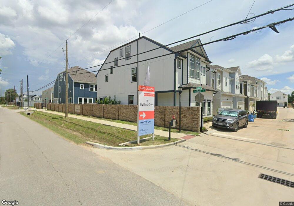
5616 Iris Harvest Dr Unit 36188528 Houston, TX 77091
Acres Homes NeighborhoodEstimated Value: $354,000 - $409,000
3
Beds
6
Baths
2,120
Sq Ft
$177/Sq Ft
Est. Value
About This Home
This home is located at 5616 Iris Harvest Dr Unit 36188528, Houston, TX 77091 and is currently estimated at $374,667, approximately $176 per square foot. 5616 Iris Harvest Dr Unit 36188528 is a home located in Harris County with nearby schools including Frank Black Middle School, Scarborough High School, and KIPP Nexus Primary School.
Ownership History
Date
Name
Owned For
Owner Type
Purchase Details
Closed on
Aug 26, 2025
Sold by
Hca Model Fund 2018-15 Texas Llc
Bought by
Ntoso Abena Addo
Current Estimated Value
Home Financials for this Owner
Home Financials are based on the most recent Mortgage that was taken out on this home.
Original Mortgage
$400,000
Outstanding Balance
$399,424
Interest Rate
4%
Mortgage Type
VA
Estimated Equity
-$24,757
Purchase Details
Closed on
Jul 9, 2024
Sold by
K Hovnanian Of Houston Ii Llc
Bought by
Hca Model Fund 2018-15 Texas Llc
Home Financials for this Owner
Home Financials are based on the most recent Mortgage that was taken out on this home.
Original Mortgage
$40,000,000
Interest Rate
7.03%
Mortgage Type
New Conventional
Create a Home Valuation Report for This Property
The Home Valuation Report is an in-depth analysis detailing your home's value as well as a comparison with similar homes in the area
Home Values in the Area
Average Home Value in this Area
Purchase History
| Date | Buyer | Sale Price | Title Company |
|---|---|---|---|
| Ntoso Abena Addo | -- | Eastern National Title Agency | |
| Hca Model Fund 2018-15 Texas Llc | -- | Eastern National Title Agency |
Source: Public Records
Mortgage History
| Date | Status | Borrower | Loan Amount |
|---|---|---|---|
| Open | Ntoso Abena Addo | $400,000 | |
| Previous Owner | Hca Model Fund 2018-15 Texas Llc | $40,000,000 |
Source: Public Records
Tax History Compared to Growth
Tax History
| Year | Tax Paid | Tax Assessment Tax Assessment Total Assessment is a certain percentage of the fair market value that is determined by local assessors to be the total taxable value of land and additions on the property. | Land | Improvement |
|---|---|---|---|---|
| 2025 | $488 | $356,143 | $48,409 | $307,734 |
| 2024 | $488 | $385,174 | $48,409 | $336,765 |
| 2023 | $488 | $24,204 | $24,204 | -- |
Source: Public Records
Map
Nearby Homes
- Jefferson II Plan at Highland Grove
- 5612 Iris Harvest Dr
- 3215 Cedar Dawn Ln
- 3207 Cedar Dawn Ln
- 5703 Balbo St
- 5100 Balbo St
- 5608 Savyon Dr
- 3318 Paul Quinn St
- 3402 Paul Quinn St
- 5609 Savyon Dr
- 5810 Balbo St
- 4440 W Tidwell
- 3217 Mansfield St
- 5616 Bertellis Ln
- 5811 Outer Banks St
- 3216 Mansfield St Unit 5903
- 3216 Mansfield St Unit 5904
- 5929 Manning Oaks St
- Honeysuckle Plan at Mansfield Estates
- Daisy Plan at Mansfield Estates
- 5616 Iris Harvest Dr Unit 36469438
- 5616 Iris Harvest Dr Unit 36464473
- 5616 Iris Harvest Dr Unit 36499319
- 5616 Iris Harvest Dr Unit 36500053
- 5611 Green Rise Ln
- 3321 Paul Quinn St
- 3302 Paul Quinn St
- 5609 Green Rise Ln
- 5610 Green Rise Ln
- 5604 Iris Harvest Dr
- 3222 Paul Quinn St
- 3306 Paul Quinn St
- 5607 Iris Harvest Dr
- 5602 Iris Harvest Dr
- 5608 Green Rise Ln
- 5603 Green Rise Ln
- 5606 Green Rise Ln
- 5603 Iris Harvest Dr
- 5604 Green Rise Ln
- 5602 Green Rise Ln