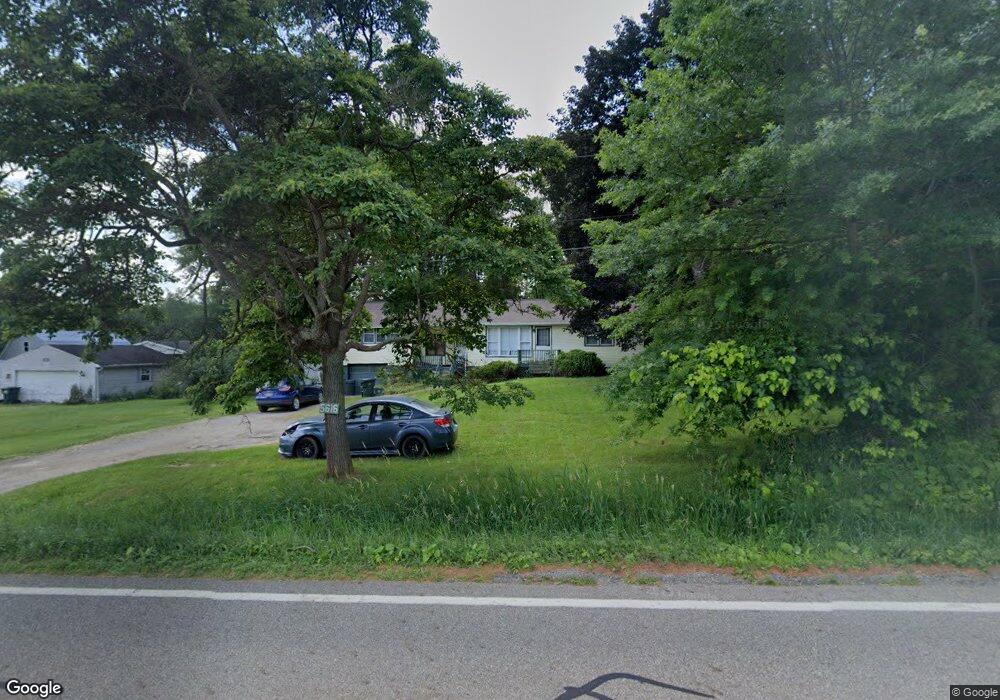
5616 State Route 212 NE Somerdale, OH 44678
Estimated Value: $177,000 - $210,218
3
Beds
1
Bath
1,596
Sq Ft
$123/Sq Ft
Est. Value
About This Home
This home is located at 5616 State Route 212 NE, Somerdale, OH 44678 and is currently estimated at $196,555, approximately $123 per square foot. 5616 State Route 212 NE is a home with nearby schools including Tuscarawas Valley Primary School, Tuscarawas Valley Intermediate School, and Tuscarawas Valley Middle School.
Ownership History
Date
Name
Owned For
Owner Type
Purchase Details
Closed on
Jun 1, 1994
Sold by
Swiney Ethel
Bought by
Dean Grant A
Current Estimated Value
Home Financials for this Owner
Home Financials are based on the most recent Mortgage that was taken out on this home.
Original Mortgage
$64,264
Interest Rate
8.48%
Mortgage Type
FHA
Purchase Details
Closed on
Feb 24, 1988
Bought by
Swiney Ethel
Purchase Details
Closed on
Apr 2, 1987
Sold by
Daugherty Rita Gail
Bought by
Diamond Savings & Loan Company
Create a Home Valuation Report for This Property
The Home Valuation Report is an in-depth analysis detailing your home's value as well as a comparison with similar homes in the area
Home Values in the Area
Average Home Value in this Area
Purchase History
| Date | Buyer | Sale Price | Title Company |
|---|---|---|---|
| Dean Grant A | $64,000 | -- | |
| Swiney Ethel | $28,000 | -- | |
| Diamond Savings & Loan Company | $24,000 | -- |
Source: Public Records
Mortgage History
| Date | Status | Borrower | Loan Amount |
|---|---|---|---|
| Closed | Dean Grant A | $64,264 |
Source: Public Records
Tax History Compared to Growth
Tax History
| Year | Tax Paid | Tax Assessment Tax Assessment Total Assessment is a certain percentage of the fair market value that is determined by local assessors to be the total taxable value of land and additions on the property. | Land | Improvement |
|---|---|---|---|---|
| 2024 | $2,000 | $47,470 | $7,900 | $39,570 |
| 2023 | $2,000 | $135,640 | $22,580 | $113,060 |
| 2022 | $2,004 | $47,474 | $7,903 | $39,571 |
| 2021 | $1,767 | $40,702 | $7,469 | $33,233 |
| 2020 | $1,767 | $40,702 | $7,469 | $33,233 |
| 2019 | $1,779 | $40,702 | $7,469 | $33,233 |
| 2018 | $1,594 | $34,350 | $6,300 | $28,050 |
| 2017 | $1,608 | $34,350 | $6,300 | $28,050 |
| 2016 | $1,608 | $34,350 | $6,300 | $28,050 |
| 2014 | $1,532 | $30,810 | $4,750 | $26,060 |
| 2013 | $1,235 | $30,810 | $4,750 | $26,060 |
Source: Public Records
Map
Nearby Homes
- 6234 Riggle Hill Rd NE
- 5903 Maher Rd
- 0 New Cumberland Rd NE Unit 24016770
- 7898 State Route 800 NE
- 3572 Pennsylvania Ave NE
- 8248 Lappin Ln NE
- 4528 Gintz Rd NE
- 3570 Johnstown Rd NE
- 1147 Hope Rd NW
- 9366 Briar Rd Unit 20
- 2363 Tabor Ridge Rd NE
- 6285 Adams Rd NE
- 0 Magnolia Rd Unit 5153978
- 1224 Pine Bluff Dr NE
- 9156 Cherry Ln NE
- 4518 State Route 800 NE
- 5669 Dover Zoar Rd NE
- 853 Hartwood Rd NW
- 0 Lampe Lane North E Unit 5162024
- 0 Pleasant Valley Rd NE
- 5608 State Route 212 NE
- 5600 State Route 212 NE
- 5657 State Route 212 NE
- 5639 State Route 212 NE
- 5594 State Route 212 NE
- 5639 State Route 212 NE
- 5686 Ohio 212
- 5691 State Route 212 NE
- 5555 State Route 212 NE
- 5722 State Route 212 NE
- 5733 State Route 212 NE
- 5760 State Route 212
- 5760 State Route 212 NE
- 5749 State Route 212 NE
- 5792 State Route 212 NE
- 5802 State Route 212 NE
- 5806 St Rt 212 NE
- 5785 State Route 212
- 5802 State Route 212 NE
- 5810 NE State Route 212