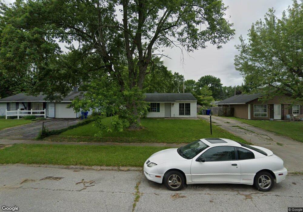
5617 Council Ring Blvd Kokomo, IN 46902
Indian Heights NeighborhoodEstimated Value: $116,000 - $136,000
3
Beds
1
Bath
864
Sq Ft
$142/Sq Ft
Est. Value
About This Home
This home is located at 5617 Council Ring Blvd, Kokomo, IN 46902 and is currently estimated at $122,340, approximately $141 per square foot. 5617 Council Ring Blvd is a home located in Howard County with nearby schools including Taylor Elementary School, Taylor Middle School, and Taylor High School.
Ownership History
Date
Name
Owned For
Owner Type
Purchase Details
Closed on
Aug 15, 2019
Sold by
Limestone Trust
Bought by
Moreland Acquisitions Llc
Current Estimated Value
Home Financials for this Owner
Home Financials are based on the most recent Mortgage that was taken out on this home.
Original Mortgage
$149,705
Outstanding Balance
$121,224
Interest Rate
3.7%
Mortgage Type
New Conventional
Estimated Equity
$1,116
Purchase Details
Closed on
May 17, 2017
Sold by
Martino James J
Bought by
Limestone Trust
Create a Home Valuation Report for This Property
The Home Valuation Report is an in-depth analysis detailing your home's value as well as a comparison with similar homes in the area
Home Values in the Area
Average Home Value in this Area
Purchase History
| Date | Buyer | Sale Price | Title Company |
|---|---|---|---|
| Moreland Acquisitions Llc | -- | Metropolitan Title | |
| Limestone Trust | $36,000 | -- |
Source: Public Records
Mortgage History
| Date | Status | Borrower | Loan Amount |
|---|---|---|---|
| Open | Moreland Acquisitions Llc | $149,705 |
Source: Public Records
Tax History Compared to Growth
Tax History
| Year | Tax Paid | Tax Assessment Tax Assessment Total Assessment is a certain percentage of the fair market value that is determined by local assessors to be the total taxable value of land and additions on the property. | Land | Improvement |
|---|---|---|---|---|
| 2024 | $1,410 | $80,900 | $13,300 | $67,600 |
| 2022 | $1,354 | $67,600 | $13,300 | $54,300 |
| 2021 | $1,118 | $55,800 | $10,400 | $45,400 |
| 2020 | $1,000 | $49,900 | $10,400 | $39,500 |
| 2019 | $896 | $44,700 | $10,400 | $34,300 |
| 2018 | $994 | $41,100 | $10,400 | $30,700 |
| 2017 | $1,157 | $38,500 | $11,600 | $26,900 |
| 2016 | $776 | $38,500 | $11,600 | $26,900 |
| 2014 | $753 | $37,600 | $11,600 | $26,000 |
| 2013 | $781 | $39,000 | $11,600 | $27,400 |
Source: Public Records
Map
Nearby Homes
- 5700 Wampum Dr
- 907 Wingra Ct
- 833 Lando Creek Dr
- 835 Lando Creek Dr
- 1109 Peace Pipe Dr
- 813 Tomahawk Blvd
- 1105 Peace Pipe Dr
- 5234 Council Ring Blvd
- 849 Lando Creek Dr
- 6002 Council Ring Blvd
- 5808 Mendota Dr
- 2126 Upland Ridge Way
- Walnut Plan at Highland Springs
- Chestnut Plan at Highland Springs
- Bradford Plan at Highland Springs
- Ironwood Plan at Highland Springs
- Ashton Plan at Highland Springs
- Palmetto Plan at Highland Springs
- Cooper Plan at Highland Springs
- Spruce Plan at Highland Springs
- 5613 Council Ring Blvd
- 5625 Council Ring Blvd
- 5609 Council Ring Blvd
- 5616 Wampum Dr
- 5612 Wampum Dr
- 5620 Wampum Dr
- 5608 Wampum Dr
- 5701 Council Ring Blvd
- 5616 Council Ring Blvd
- 5612 Council Ring Blvd
- 5620 Council Ring Blvd
- 5604 Wampum Dr
- 1313 Wigwam Dr
- 5608 Council Ring Blvd
- 1309 Wigwam Dr
- 5624 Council Ring Blvd
- 5705 Council Ring Blvd
- 5604 Council Ring Blvd
- 1305 Wigwam Dr
- 5700 Council Ring Blvd