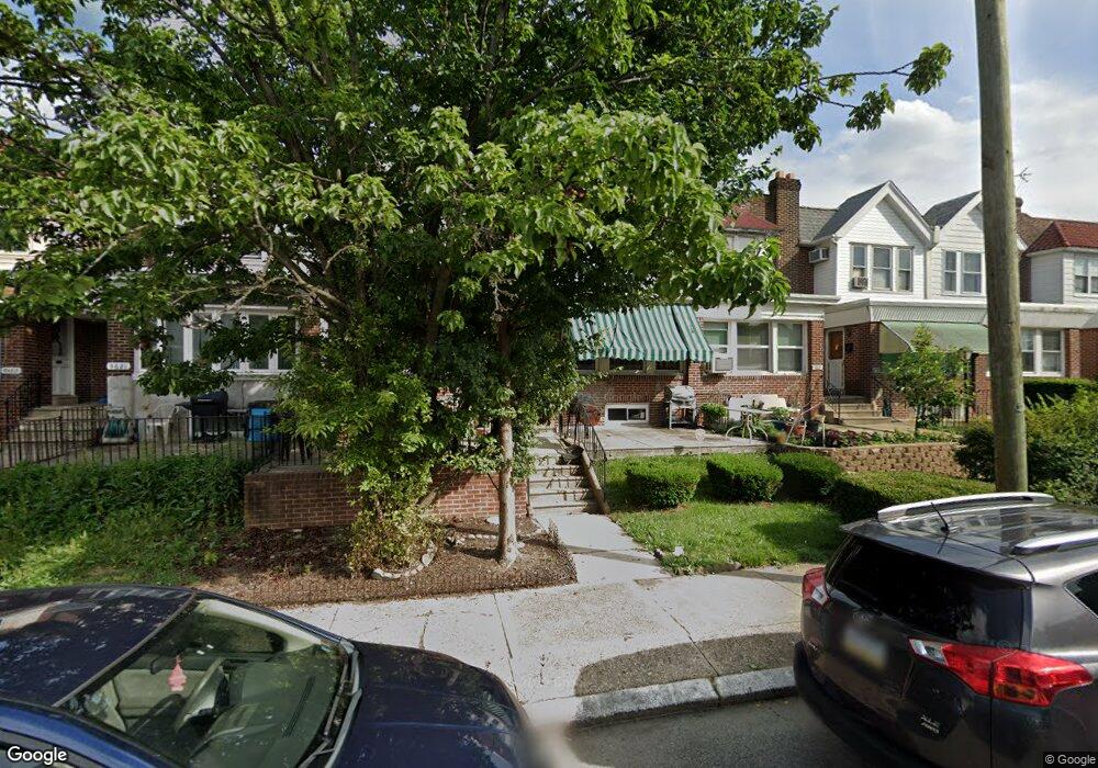
5617 Miriam Rd Philadelphia, PA 19124
Lawncrest NeighborhoodEstimated Value: $209,000 - $232,000
3
Beds
1
Bath
1,500
Sq Ft
$149/Sq Ft
Est. Value
About This Home
This home is located at 5617 Miriam Rd, Philadelphia, PA 19124 and is currently estimated at $222,830, approximately $148 per square foot. 5617 Miriam Rd is a home located in Philadelphia County with nearby schools including Laura H Carnell School, Harding Warren G Middle School, and Samuel Fels High School.
Ownership History
Date
Name
Owned For
Owner Type
Purchase Details
Closed on
Nov 17, 2003
Sold by
Mulvihill Kathleen A
Bought by
Tatum Kelly
Current Estimated Value
Home Financials for this Owner
Home Financials are based on the most recent Mortgage that was taken out on this home.
Original Mortgage
$77,884
Outstanding Balance
$35,856
Interest Rate
5.9%
Mortgage Type
FHA
Estimated Equity
$186,974
Create a Home Valuation Report for This Property
The Home Valuation Report is an in-depth analysis detailing your home's value as well as a comparison with similar homes in the area
Home Values in the Area
Average Home Value in this Area
Purchase History
| Date | Buyer | Sale Price | Title Company |
|---|---|---|---|
| Tatum Kelly | $78,500 | Landamerica Commonwealth Lan |
Source: Public Records
Mortgage History
| Date | Status | Borrower | Loan Amount |
|---|---|---|---|
| Open | Tatum Kelly | $77,884 |
Source: Public Records
Tax History Compared to Growth
Tax History
| Year | Tax Paid | Tax Assessment Tax Assessment Total Assessment is a certain percentage of the fair market value that is determined by local assessors to be the total taxable value of land and additions on the property. | Land | Improvement |
|---|---|---|---|---|
| 2025 | $2,117 | $193,700 | $38,740 | $154,960 |
| 2024 | $2,117 | $193,700 | $38,740 | $154,960 |
| 2023 | $2,117 | $151,200 | $30,240 | $120,960 |
| 2022 | $817 | $106,200 | $30,240 | $75,960 |
| 2021 | $1,447 | $0 | $0 | $0 |
| 2020 | $1,447 | $0 | $0 | $0 |
| 2019 | $1,389 | $0 | $0 | $0 |
| 2018 | $1,389 | $0 | $0 | $0 |
| 2017 | $1,389 | $0 | $0 | $0 |
| 2016 | $969 | $0 | $0 | $0 |
| 2015 | $927 | $0 | $0 | $0 |
| 2014 | -- | $99,200 | $17,835 | $81,365 |
| 2012 | -- | $14,944 | $2,106 | $12,838 |
Source: Public Records
Map
Nearby Homes
- 5640 Miriam Rd
- 5659 Miriam Rd
- 5661 Miriam Rd
- 991 Carver St
- 996 Anchor St
- 972 Bridge St
- 934 Brill St
- 925 E Sanger St
- 1225 E Cheltenham Ave
- 1211 E Cheltenham Ave
- 929 1/2 Anchor St
- 5505 Loretto Ave
- 894 E Sanger St
- 1127 E Cheltenham Ave
- 1048 Bridge St
- 883 Brill St
- 894 Granite St
- 889 Anchor St
- 854 E Sanger St
- 5900 Loretto Ave
- 5619 Miriam Rd
- 5621 Miriam Rd
- 5623 Miriam Rd
- 5615 Miriam Rd
- 5625 Miriam Rd
- 5613 Miriam Rd
- 5611 Miriam Rd
- 5627 Miriam Rd
- 5629 Miriam Rd
- 5609 Miriam Rd
- 5312 Roosevelt Blvd
- 5631 Miriam Rd
- 5607 Miriam Rd
- 5314 Roosevelt Blvd
- 5310 Roosevelt Blvd
- 5308 Roosevelt Blvd
- 5316 Roosevelt Blvd
- 5318 Roosevelt Blvd
- 5308 E Roosevelt Blvd
- 5306 Roosevelt Blvd