5617 Taylor Rd Sandusky, OH 44870
Estimated Value: $394,000 - $530,617
3
Beds
2
Baths
3,280
Sq Ft
$142/Sq Ft
Est. Value
About This Home
This home is located at 5617 Taylor Rd, Sandusky, OH 44870 and is currently estimated at $465,539, approximately $141 per square foot. 5617 Taylor Rd is a home located in Erie County with nearby schools including Furry Elementary School, Meadowlawn Elementary School, and Briar Middle School.
Ownership History
Date
Name
Owned For
Owner Type
Purchase Details
Closed on
Jun 22, 2015
Sold by
Parker Michael G and Parker Mary Ann
Bought by
Parker Michael G and Parker Mary Ann
Current Estimated Value
Purchase Details
Closed on
Nov 18, 2013
Sold by
Galloway Thomas A and Galloway Sue E
Bought by
Galloway & Sons Ltd
Purchase Details
Closed on
Jun 3, 2011
Sold by
Parker Michael G and Parker Mary Ann
Bought by
Parker Michael G and Parker Mary Ann
Purchase Details
Closed on
Jun 19, 2006
Sold by
Estate Of George H Parker
Bought by
Parker Michael G
Create a Home Valuation Report for This Property
The Home Valuation Report is an in-depth analysis detailing your home's value as well as a comparison with similar homes in the area
Home Values in the Area
Average Home Value in this Area
Purchase History
| Date | Buyer | Sale Price | Title Company |
|---|---|---|---|
| Parker Michael G | -- | Attorney | |
| Galloway & Sons Ltd | -- | None Available | |
| Parker Michael G | -- | Attorney | |
| Parker Michael G | -- | None Available |
Source: Public Records
Tax History Compared to Growth
Tax History
| Year | Tax Paid | Tax Assessment Tax Assessment Total Assessment is a certain percentage of the fair market value that is determined by local assessors to be the total taxable value of land and additions on the property. | Land | Improvement |
|---|---|---|---|---|
| 2024 | $5,093 | $139,926 | $30,614 | $109,312 |
| 2023 | $5,093 | $119,276 | $21,129 | $98,147 |
| 2022 | $5,247 | $119,272 | $21,129 | $98,143 |
| 2021 | $5,227 | $119,270 | $21,130 | $98,140 |
| 2020 | $4,725 | $100,510 | $21,130 | $79,380 |
| 2019 | $4,884 | $100,510 | $21,130 | $79,380 |
| 2018 | $4,888 | $100,510 | $21,130 | $79,380 |
| 2017 | $4,857 | $98,070 | $19,180 | $78,890 |
| 2016 | $4,128 | $98,070 | $19,180 | $78,890 |
| 2015 | $4,134 | $98,070 | $19,180 | $78,890 |
| 2014 | $4,186 | $101,280 | $18,730 | $82,550 |
| 2013 | $4,115 | $101,280 | $18,730 | $82,550 |
Source: Public Records
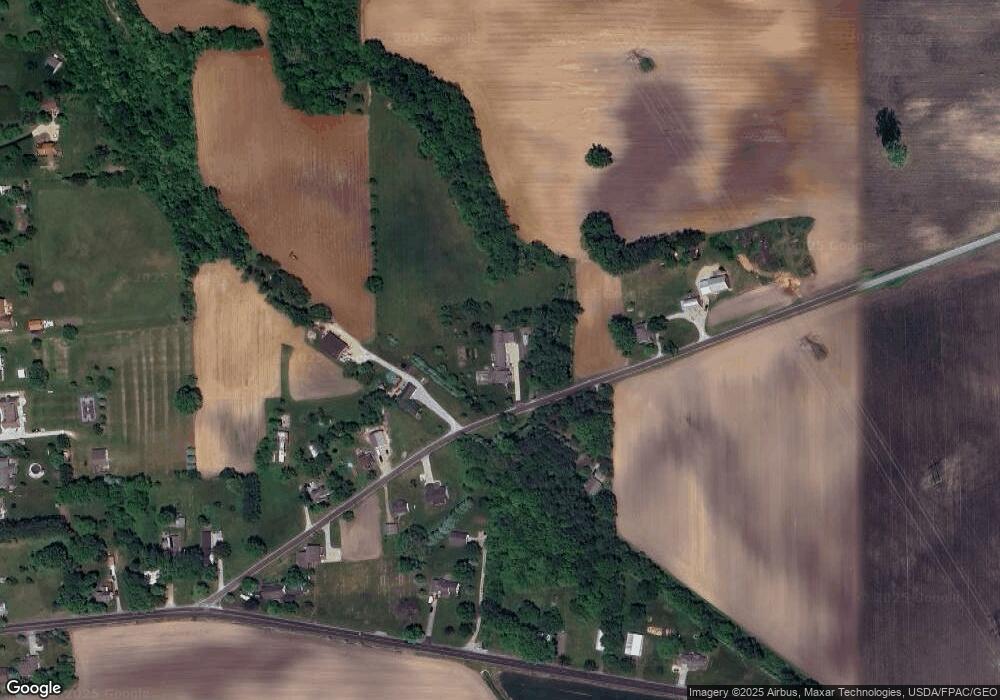
Map
Nearby Homes
- 7114 Hayes Ave
- 6516 Skadden Rd
- 6208 Skadden Rd
- 8802 Mason Rd
- 1315 S Lake Wilmer Dr Unit 208B
- 1305 S Lake Wilmer Dr Unit 207
- 1305 S Lake Wilmer Dr Unit 208A
- 1006 W Bogart Rd
- 1101 W Bogart Rd
- 914 W Bogart Rd
- 817 W Bogart Rd
- 736 Kelley Ln
- 5109 Delematre Rd
- 9611 Mason Rd
- 735 Cedar Point
- 28 Zachary Ln
- 3 Zachary Ln
- 22 Zachary Ln
- 414 Indiana Ave
- 3601 Bardshar Rd
- 5616 Taylor Rd
- 5710 Taylor Rd
- 5715 Taylor Rd
- 5714 Taylor Rd
- 5709 Mason Rd
- 5801 Taylor Rd
- 5517 Taylor Rd
- 5617 Mason Rd
- 5517 Mason Rd
- 5811 Mason Rd
- 5819 Taylor Rd
- 5909 Mason Rd
- 5911 Mason Rd
- 0 W Mason Rd
- 11600 W Mason Rd
- 5917 W Mason Rd
- 5510 Mason Rd
- 5917 Mason Rd
- 8012 Patten Tract Rd
- 8014 Patten Tract Rd