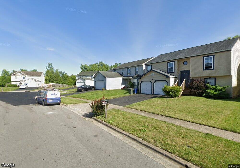
5619 Deforest Dr Columbus, OH 43232
Walnut Heights NeighborhoodEstimated Value: $278,947 - $325,000
3
Beds
3
Baths
1,781
Sq Ft
$168/Sq Ft
Est. Value
About This Home
This home is located at 5619 Deforest Dr, Columbus, OH 43232 and is currently estimated at $299,487, approximately $168 per square foot. 5619 Deforest Dr is a home located in Franklin County with nearby schools including Liberty Elementary School, Yorktown Middle School, and Independence High School.
Ownership History
Date
Name
Owned For
Owner Type
Purchase Details
Closed on
Jun 18, 2001
Sold by
Maronda Homes Inc
Bought by
Brooks Justina T
Current Estimated Value
Home Financials for this Owner
Home Financials are based on the most recent Mortgage that was taken out on this home.
Original Mortgage
$139,410
Outstanding Balance
$53,259
Interest Rate
7.18%
Mortgage Type
FHA
Estimated Equity
$246,228
Create a Home Valuation Report for This Property
The Home Valuation Report is an in-depth analysis detailing your home's value as well as a comparison with similar homes in the area
Home Values in the Area
Average Home Value in this Area
Purchase History
| Date | Buyer | Sale Price | Title Company |
|---|---|---|---|
| Brooks Justina T | $140,600 | Chicago Title |
Source: Public Records
Mortgage History
| Date | Status | Borrower | Loan Amount |
|---|---|---|---|
| Open | Brooks Justina T | $139,410 |
Source: Public Records
Tax History Compared to Growth
Tax History
| Year | Tax Paid | Tax Assessment Tax Assessment Total Assessment is a certain percentage of the fair market value that is determined by local assessors to be the total taxable value of land and additions on the property. | Land | Improvement |
|---|---|---|---|---|
| 2024 | $3,503 | $87,860 | $23,280 | $64,580 |
| 2023 | $3,486 | $87,850 | $23,275 | $64,575 |
| 2022 | $2,366 | $54,360 | $6,300 | $48,060 |
| 2021 | $2,370 | $54,360 | $6,300 | $48,060 |
| 2020 | $2,373 | $54,360 | $6,300 | $48,060 |
| 2019 | $2,223 | $45,400 | $5,250 | $40,150 |
| 2018 | $1,930 | $45,400 | $5,250 | $40,150 |
| 2017 | $2,016 | $45,400 | $5,250 | $40,150 |
| 2016 | $1,809 | $36,060 | $5,430 | $30,630 |
| 2015 | $1,642 | $36,060 | $5,430 | $30,630 |
| 2014 | $1,646 | $36,060 | $5,430 | $30,630 |
| 2013 | $1,000 | $42,385 | $6,370 | $36,015 |
Source: Public Records
Map
Nearby Homes
- 5397 Jack Russell Way
- 3387 Retriever Rd
- 3246 Latonia Rd
- 3289 Kady Ln
- 5522 Newport Ct
- 5391 Newport Rd
- 3000 Whitlow Rd
- 5401 Spire Ln
- 5254 Sedalia Dr
- 5373 Spire Ln
- 2998 Osgood Rd E
- 5408 Rohden Dr
- 5152 Burdett Dr
- 3148 Aldgate St
- 5464 Rohden Dr
- 5416 Branchville Dr
- 3198 Gallant Dr
- 5125 Upton Rd N
- 5377 Bleaker Ave
- 3773 Tylor Dr
- 5611 Deforest Dr
- 5627 Deforest Dr
- 5603 Deforest Dr
- 5595 Deforest Dr
- 3442 Beagle Blvd
- 3434 Beagle Blvd
- 5612 Deforest Dr
- 5587 Deforest Dr
- 5604 Deforest Dr
- 3426 Beagle Blvd
- 5596 Deforest Dr
- 5579 Deforest Dr
- 5588 Deforest Dr
- 3418 Beagle Blvd
- 5571 Deforest Dr
- 5421 Jack Russell Way
- 5580 Deforest Dr
- 5413 Jack Russell Way
- 3410 Beagle Blvd
- 3691 Arnsby Rd