Estimated Value: $263,000 - $289,310
Studio
--
Bath
--
Sq Ft
117,612
Sq Ft Lot
About This Home
This home is located at 5619 Docs Ln, Peoa, UT 84061 and is currently estimated at $278,770. 5619 Docs Ln is a home located in Summit County with nearby schools including South Summit Elementary School and South Summit High School.
Ownership History
Date
Name
Owned For
Owner Type
Purchase Details
Closed on
Apr 18, 2022
Sold by
Robert Jessee
Bought by
Mather Jason G and Mather Kim J
Current Estimated Value
Purchase Details
Closed on
Apr 13, 2022
Sold by
Robert Jessee
Bought by
Mather Jason G and Mather Kim J
Purchase Details
Closed on
Feb 6, 2018
Sold by
Burton Duane C and Burton Glen L
Bought by
Jessee Robert and Jessee Melisa
Home Financials for this Owner
Home Financials are based on the most recent Mortgage that was taken out on this home.
Original Mortgage
$110,000
Interest Rate
3.99%
Mortgage Type
Purchase Money Mortgage
Create a Home Valuation Report for This Property
The Home Valuation Report is an in-depth analysis detailing your home's value as well as a comparison with similar homes in the area
Home Values in the Area
Average Home Value in this Area
Purchase History
| Date | Buyer | Sale Price | Title Company |
|---|---|---|---|
| Mather Jason G | -- | Us Title | |
| Mather Jason G | -- | Us Title | |
| Jessee Robert | -- | Stewart Title Ins Agecny Of |
Source: Public Records
Mortgage History
| Date | Status | Borrower | Loan Amount |
|---|---|---|---|
| Previous Owner | Jessee Robert | $110,000 |
Source: Public Records
Tax History
| Year | Tax Paid | Tax Assessment Tax Assessment Total Assessment is a certain percentage of the fair market value that is determined by local assessors to be the total taxable value of land and additions on the property. | Land | Improvement |
|---|---|---|---|---|
| 2025 | $1,344 | $149,000 | $149,000 | -- |
| 2024 | $735 | $140,750 | $140,750 | -- |
| 2023 | $1,184 | $140,750 | $140,750 | $0 |
| 2022 | $1,051 | $103,500 | $103,500 | $0 |
| 2021 | $896 | $58,850 | $58,850 | $0 |
| 2020 | $942 | $61,050 | $58,850 | $2,200 |
| 2019 | $534 | $61,050 | $58,850 | $2,200 |
| 2018 | $896 | $52,250 | $50,050 | $2,200 |
| 2017 | $874 | $52,250 | $50,050 | $2,200 |
| 2016 | $800 | $46,200 | $44,000 | $2,200 |
| 2015 | $399 | $46,200 | $0 | $0 |
| 2013 | $385 | $41,250 | $0 | $0 |
Source: Public Records
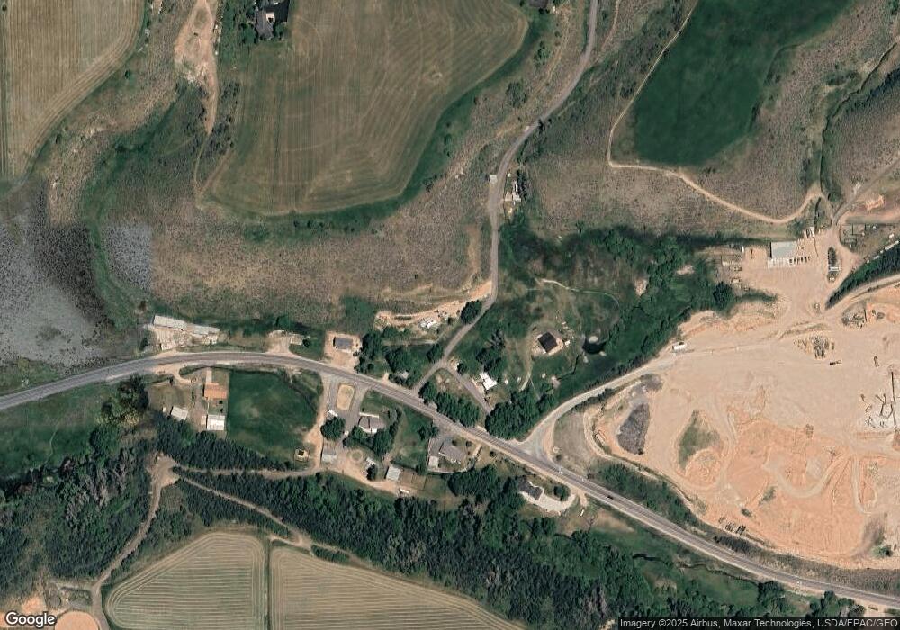
Map
Nearby Homes
- 2575 W State Road 32
- 6117 Rocky Ridge Rd
- 6117 N Rocky Ridge Rd
- 5661 N State Road 32
- 5167 Rodeo Cir Unit 6
- 5167 Rodeo Cir
- 7795 Browns Rd
- 829 River Haven Ln Unit 111
- 972 River Haven Rd Unit 101
- 949 River Haven Rd S Unit 115
- 1400 E Weber Wild Rd
- 87 N Yosemite Unit 87A
- 940 River Haven Rd W Unit 103
- 156 Mountain View Unit 156
- 919 River Haven Rd Unit 114
- 455 W North Bench Rd
- 6950 N River Valley Dr
- 7050 N River Valley Dr
- 7151 N River Valley Dr Unit 1
- 364 W 3700 N
- 5619 N Docs Ln
- 2604 W State Road 32
- 2564 W State Road 32
- 2578 W Hwy 189
- 2554 W State Road 32
- 2640 W Sr 32
- 2601 W State Road 32
- 7117 State Road 32
- 5460 State Road 32
- 24 State Road 32
- 1858 Farmhouse
- 6225 Elk Ridge Rd
- 6225 Elk Ridge Rd Unit 3
- 6225 Elk Rd Unit 3
- 1858 Farmhouse Unit 3
- 2299 W State Rd 32
- 2299 W State Road 32
- 2713 W State Road 32
- 5715 Docs Ln
- 2895 W St Rd
Your Personal Tour Guide
Ask me questions while you tour the home.