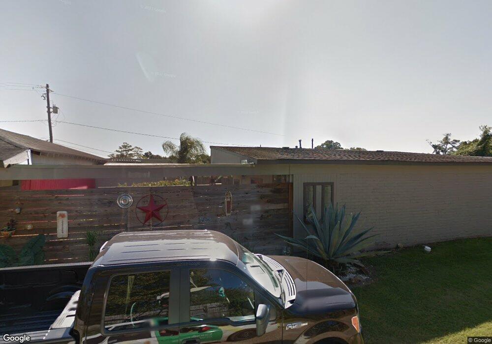
5619 Tallow Ln Houston, TX 77021
OST-South Union NeighborhoodEstimated Value: $213,884 - $256,000
2
Beds
2
Baths
1,223
Sq Ft
$193/Sq Ft
Est. Value
About This Home
This home is located at 5619 Tallow Ln, Houston, TX 77021 and is currently estimated at $235,471, approximately $192 per square foot. 5619 Tallow Ln is a home located in Harris County with nearby schools including Peck Elementary School, Cullen Middle School, and Yates High School.
Ownership History
Date
Name
Owned For
Owner Type
Purchase Details
Closed on
Mar 13, 2012
Sold by
Brown Lauren B
Bought by
Grezlik Monique M
Current Estimated Value
Purchase Details
Closed on
Aug 23, 2007
Sold by
Lowe Mervyn L and Lowe Joan D
Bought by
Brown Lauren B and Grezlik Monique M
Home Financials for this Owner
Home Financials are based on the most recent Mortgage that was taken out on this home.
Original Mortgage
$79,900
Interest Rate
6.72%
Mortgage Type
Seller Take Back
Purchase Details
Closed on
Oct 29, 1998
Sold by
Lowe Marvyn
Bought by
Lowe Joan D
Home Financials for this Owner
Home Financials are based on the most recent Mortgage that was taken out on this home.
Original Mortgage
$44,250
Interest Rate
6.57%
Create a Home Valuation Report for This Property
The Home Valuation Report is an in-depth analysis detailing your home's value as well as a comparison with similar homes in the area
Home Values in the Area
Average Home Value in this Area
Purchase History
| Date | Buyer | Sale Price | Title Company |
|---|---|---|---|
| Grezlik Monique M | -- | None Available | |
| Brown Lauren B | -- | None Available | |
| Lowe Joan D | -- | -- |
Source: Public Records
Mortgage History
| Date | Status | Borrower | Loan Amount |
|---|---|---|---|
| Previous Owner | Brown Lauren B | $79,900 | |
| Previous Owner | Lowe Joan D | $44,250 | |
| Closed | Grezlik Monique M | $0 |
Source: Public Records
Tax History Compared to Growth
Tax History
| Year | Tax Paid | Tax Assessment Tax Assessment Total Assessment is a certain percentage of the fair market value that is determined by local assessors to be the total taxable value of land and additions on the property. | Land | Improvement |
|---|---|---|---|---|
| 2025 | $2,095 | $219,872 | $163,800 | $56,072 |
| 2024 | $2,095 | $219,872 | $163,800 | $56,072 |
| 2023 | $2,095 | $254,912 | $163,800 | $91,112 |
| 2022 | $3,384 | $225,478 | $145,600 | $79,878 |
| 2021 | $3,094 | $176,142 | $127,400 | $48,742 |
| 2020 | $3,061 | $137,335 | $91,000 | $46,335 |
| 2019 | $2,903 | $125,591 | $81,900 | $43,691 |
| 2018 | $1,728 | $115,885 | $70,525 | $45,360 |
| 2017 | $2,397 | $99,960 | $54,600 | $45,360 |
| 2016 | $2,179 | $82,436 | $36,400 | $46,036 |
| 2015 | $1,687 | $69,290 | $36,400 | $32,890 |
| 2014 | $1,687 | $65,610 | $36,400 | $29,210 |
Source: Public Records
Map
Nearby Homes
- 5706 Milart St
- 5151 Martin Luther King Blvd
- 5610 Milart St
- 5102 Cortelyou Ln
- 5142 Oasis Park
- 5166 Oasis Park
- 5002 Elizabeth City St
- 5314 Dezirae Ln
- 5004 Elizabeth City St
- 4914 Gammage St
- 4930 Culmore Dr
- 4910 Eppes St
- 5009 Elizabeth City St
- 4918 Culmore Dr
- 5003 Yesenia Palm St
- 4826 Ventura Ln
- 5207 Cortelyou Ln
- 5831 Grace Ln
- 5218 Cortelyou Ln
- 5201 Martin Luther King Blvd