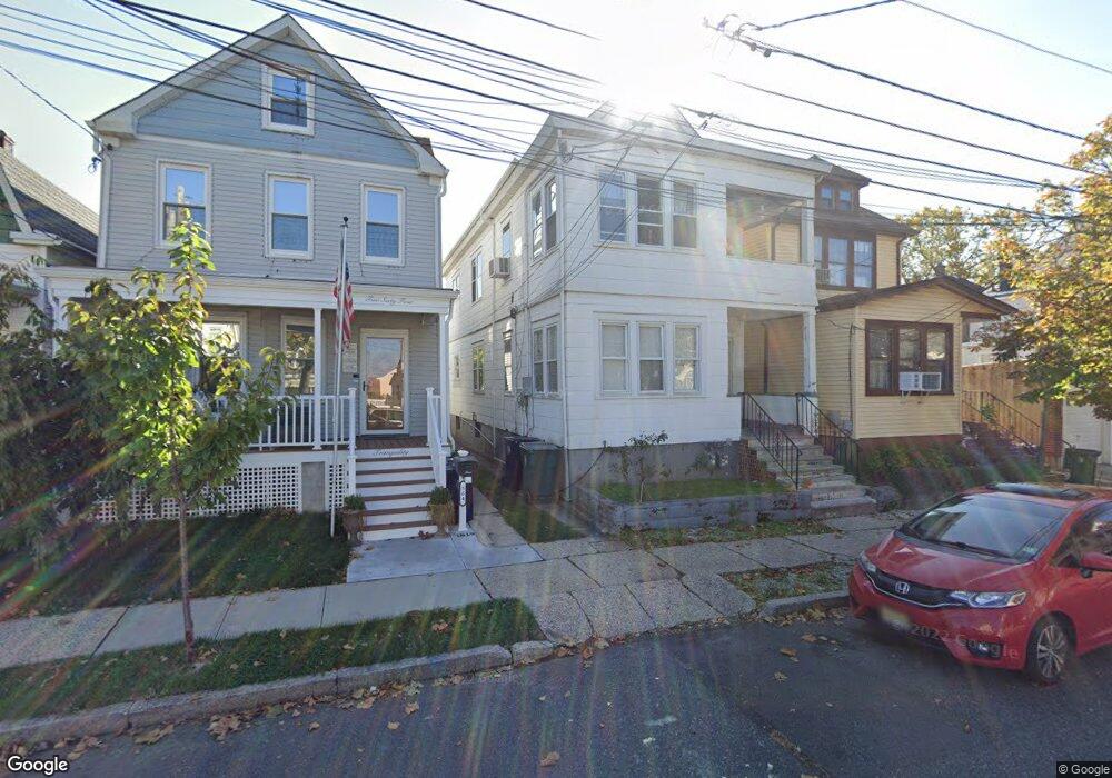
562 Carson Ave Unit 2 Perth Amboy, NJ 08861
Chickentown NeighborhoodEstimated Value: $298,000 - $543,000
2
Beds
1
Bath
2,112
Sq Ft
$215/Sq Ft
Est. Value
About This Home
This home is located at 562 Carson Ave Unit 2, Perth Amboy, NJ 08861 and is currently estimated at $454,310, approximately $215 per square foot. 562 Carson Ave Unit 2 is a home located in Middlesex County with nearby schools including Perth Amboy High School, Middlesex County STEM Charter School, and Academy for Urban Leadership Charter School.
Ownership History
Date
Name
Owned For
Owner Type
Purchase Details
Closed on
Aug 28, 2014
Sold by
Picaroni Vincent M and Picaroni John S
Bought by
Hernandez Eddlleberto
Current Estimated Value
Home Financials for this Owner
Home Financials are based on the most recent Mortgage that was taken out on this home.
Original Mortgage
$147,537
Outstanding Balance
$114,024
Interest Rate
4.4%
Mortgage Type
FHA
Estimated Equity
$340,286
Purchase Details
Closed on
Oct 31, 1997
Sold by
Estate Of Elizabeth Bogusi
Bought by
Picaroni Vincent and Picaroni John
Home Financials for this Owner
Home Financials are based on the most recent Mortgage that was taken out on this home.
Original Mortgage
$111,000
Interest Rate
7.23%
Create a Home Valuation Report for This Property
The Home Valuation Report is an in-depth analysis detailing your home's value as well as a comparison with similar homes in the area
Home Values in the Area
Average Home Value in this Area
Purchase History
| Date | Buyer | Sale Price | Title Company |
|---|---|---|---|
| Hernandez Eddlleberto | $170,000 | Alta Plain Language Title In | |
| Picaroni Vincent | $123,500 | -- |
Source: Public Records
Mortgage History
| Date | Status | Borrower | Loan Amount |
|---|---|---|---|
| Open | Hernandez Eddlleberto | $147,537 | |
| Previous Owner | Picaroni Vincent | $111,000 |
Source: Public Records
Tax History Compared to Growth
Tax History
| Year | Tax Paid | Tax Assessment Tax Assessment Total Assessment is a certain percentage of the fair market value that is determined by local assessors to be the total taxable value of land and additions on the property. | Land | Improvement |
|---|---|---|---|---|
| 2025 | $8,173 | $270,900 | $111,400 | $159,500 |
| 2024 | $8,157 | $270,900 | $111,400 | $159,500 |
| 2023 | $8,157 | $270,900 | $111,400 | $159,500 |
| 2022 | $8,059 | $270,900 | $111,400 | $159,500 |
| 2021 | $8,070 | $270,900 | $111,400 | $159,500 |
| 2020 | $8,067 | $270,900 | $111,400 | $159,500 |
| 2019 | $8,097 | $270,900 | $111,400 | $159,500 |
| 2018 | $8,027 | $270,900 | $111,400 | $159,500 |
| 2017 | $8,011 | $270,900 | $111,400 | $159,500 |
| 2016 | $7,802 | $270,900 | $111,400 | $159,500 |
| 2015 | $7,856 | $270,900 | $111,400 | $159,500 |
| 2014 | $7,905 | $270,900 | $111,400 | $159,500 |
Source: Public Records
Map
Nearby Homes
- 552 Compton Ave
- 559 Compton Ave
- 599 Pacific Ave
- 485 Compton Ave
- 693 Hanson Ave
- 689 Mary St
- 448 Baker Place
- 459 Brace Ave
- 720 Donald Ave
- 649 Cornell St
- 461 Lawrie St
- 678 Bingle St
- 744 Donald Ave
- 438 Lawrie St
- 732 Vincent Place
- 752 Donald Ave
- 537 Harding Ave
- 773 Colgate Ave
- 397 Washington St
- 376 Barclay St
- 562 Carson Ave
- 562 Carson Ave Unit 1/2
- 562 Carson Ave Unit 1
- 560 Carson Ave
- 564 Carson Ave
- 566 Carson Ave
- 568 Carson Ave
- 556 Compton Ave
- 558 Compton Ave
- 560 Compton Ave
- 554 Compton Ave
- 570 Carson Ave
- 547 Brace Ave
- 550 Compton Ave
- 561 Carson Ave
- 563 Carson Ave
- 548 Compton Ave
- 567 Carson Ave
- 559 Carson Ave
- 546 Compton Ave