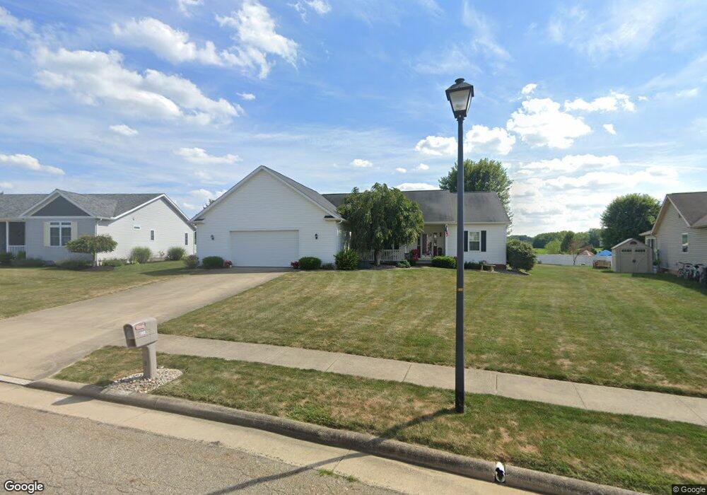
562 Chadsworth St Louisville, OH 44641
Estimated Value: $265,000 - $300,000
3
Beds
2
Baths
1,594
Sq Ft
$181/Sq Ft
Est. Value
About This Home
This home is located at 562 Chadsworth St, Louisville, OH 44641 and is currently estimated at $288,283, approximately $180 per square foot. 562 Chadsworth St is a home located in Stark County with nearby schools including Louisville High School and St. Thomas Aquinas High School & Middle School.
Ownership History
Date
Name
Owned For
Owner Type
Purchase Details
Closed on
Oct 18, 2006
Sold by
Alpine Design & Development Corp
Bought by
Davidson Craig L and Davidson Janet L
Current Estimated Value
Home Financials for this Owner
Home Financials are based on the most recent Mortgage that was taken out on this home.
Original Mortgage
$157,184
Outstanding Balance
$97,473
Interest Rate
6.5%
Mortgage Type
Purchase Money Mortgage
Estimated Equity
$190,810
Purchase Details
Closed on
Dec 12, 2003
Sold by
C & M Development Inc
Bought by
Alpine Design & Development Corp
Home Financials for this Owner
Home Financials are based on the most recent Mortgage that was taken out on this home.
Original Mortgage
$1,610,000
Interest Rate
6.01%
Mortgage Type
Purchase Money Mortgage
Create a Home Valuation Report for This Property
The Home Valuation Report is an in-depth analysis detailing your home's value as well as a comparison with similar homes in the area
Home Values in the Area
Average Home Value in this Area
Purchase History
| Date | Buyer | Sale Price | Title Company |
|---|---|---|---|
| Davidson Craig L | $36,900 | None Available | |
| Alpine Design & Development Corp | $1,610,000 | Land America/Lawyers Title |
Source: Public Records
Mortgage History
| Date | Status | Borrower | Loan Amount |
|---|---|---|---|
| Open | Davidson Craig L | $157,184 | |
| Previous Owner | Alpine Design & Development Corp | $1,610,000 |
Source: Public Records
Tax History Compared to Growth
Tax History
| Year | Tax Paid | Tax Assessment Tax Assessment Total Assessment is a certain percentage of the fair market value that is determined by local assessors to be the total taxable value of land and additions on the property. | Land | Improvement |
|---|---|---|---|---|
| 2025 | -- | $96,780 | $21,070 | $75,710 |
| 2024 | -- | $96,780 | $21,070 | $75,710 |
| 2023 | $3,118 | $72,560 | $16,140 | $56,420 |
| 2022 | $3,124 | $72,560 | $16,140 | $56,420 |
| 2021 | $3,133 | $72,560 | $16,140 | $56,420 |
| 2020 | $2,588 | $65,110 | $14,530 | $50,580 |
| 2019 | $2,599 | $67,170 | $14,530 | $52,640 |
| 2018 | $2,671 | $67,170 | $14,530 | $52,640 |
| 2017 | $2,251 | $54,610 | $9,350 | $45,260 |
| 2016 | $2,297 | $54,610 | $9,350 | $45,260 |
| 2015 | $2,304 | $54,610 | $9,350 | $45,260 |
| 2014 | $632 | $58,030 | $9,940 | $48,090 |
| 2013 | $1,320 | $58,030 | $9,940 | $48,090 |
Source: Public Records
Map
Nearby Homes
- 1702 View Pointe Ave
- 1639 Horizon Dr
- 908 Sand Lot Cir
- 822 Sand Lot Cir
- 6969 Georgetown St NE
- 510 S Bauman Ct
- 204 E Broad St
- 107 E Broad St
- 728 E Broad St
- 520 S Silver St
- 2425 Miday Ave NE
- 641 S Nickelplate St
- 8225 Georgetown St
- 201 Indiana Ave
- 4060 Hambleton Ave NE
- 308 Superior St
- 6416 15th St NE
- 248 Menegay Rd
- 325 Lincoln Ave
- 1715 High St
- 552 Chadsworth Ct
- 574 Chadsworth St
- 571 Chadsworth St
- 549 Chadsworth St
- 534 Chadsworth St
- 9999 Chadsworth St NE
- 1855 Vantage Dr
- 2012 Liberty Dr NE
- 1865 Vantage Dr
- 1845 Vantage Dr
- 1828 Vantage Dr
- 1835 Vantage Dr
- 1984 Liberty Dr NE
- 1808 Vantage Dr
- 512 Declaration Ct
- 1825 Vantage Dr
- 1972 Liberty Dr NE
- 0 Vantage Dr NE Unit 3948724
- 1805 Vantage Dr
- 502 Declaration Ct