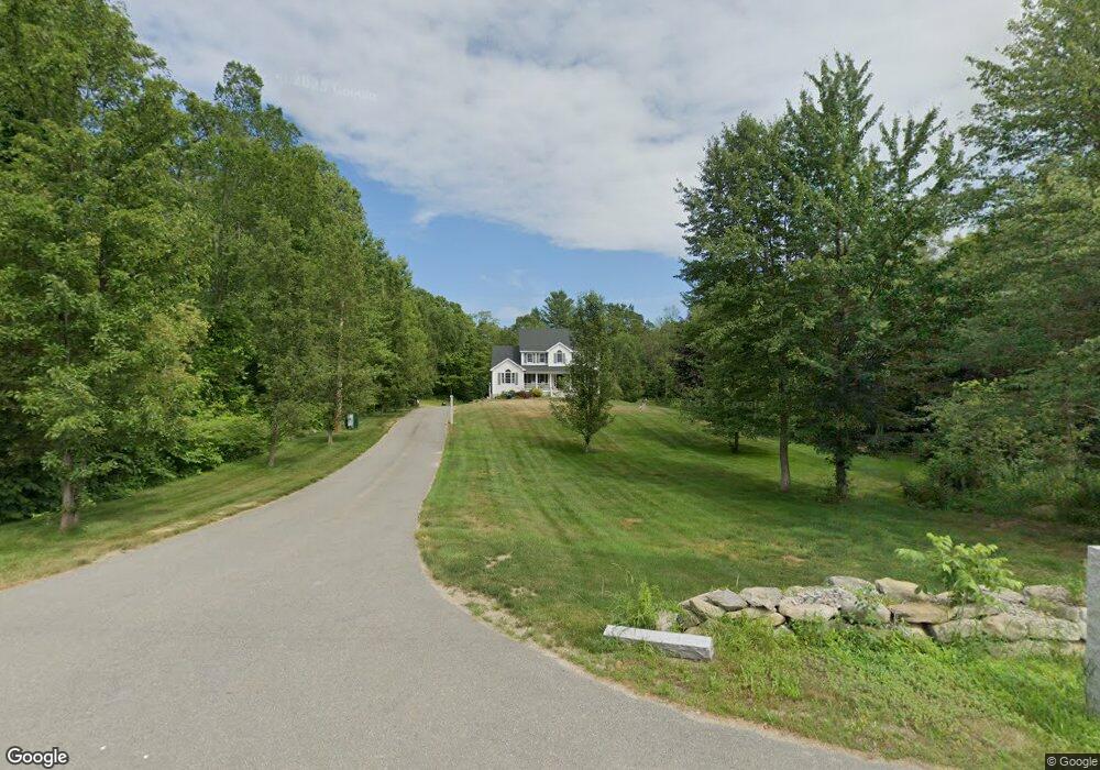
562 Forest St Dunstable, MA 01827
Estimated Value: $648,216 - $722,000
3
Beds
2
Baths
1,868
Sq Ft
$371/Sq Ft
Est. Value
About This Home
This home is located at 562 Forest St, Dunstable, MA 01827 and is currently estimated at $693,304, approximately $371 per square foot. 562 Forest St is a home located in Middlesex County with nearby schools including Groton Dunstable Regional High School and Academy of Notre Dame - Upper School.
Ownership History
Date
Name
Owned For
Owner Type
Purchase Details
Closed on
Dec 18, 2020
Sold by
Wilkins Carol L
Bought by
Thurlow Marc W and Thurlow Lisa M
Current Estimated Value
Home Financials for this Owner
Home Financials are based on the most recent Mortgage that was taken out on this home.
Original Mortgage
$423,788
Outstanding Balance
$377,298
Interest Rate
2.7%
Mortgage Type
FHA
Estimated Equity
$316,006
Purchase Details
Closed on
Jul 21, 2010
Sold by
Wilkins Scott E and Thurlow Lisa M
Bought by
Wilkins Carol L
Purchase Details
Closed on
Apr 14, 2010
Sold by
Wilkins Carol L
Bought by
Wilkins Scott E and Thurlow Lisa M
Create a Home Valuation Report for This Property
The Home Valuation Report is an in-depth analysis detailing your home's value as well as a comparison with similar homes in the area
Home Values in the Area
Average Home Value in this Area
Purchase History
| Date | Buyer | Sale Price | Title Company |
|---|---|---|---|
| Thurlow Marc W | $490,000 | None Available | |
| Wilkins Carol L | -- | -- | |
| Wilkins Scott E | -- | -- |
Source: Public Records
Mortgage History
| Date | Status | Borrower | Loan Amount |
|---|---|---|---|
| Open | Thurlow Marc W | $423,788 |
Source: Public Records
Tax History
| Year | Tax Paid | Tax Assessment Tax Assessment Total Assessment is a certain percentage of the fair market value that is determined by local assessors to be the total taxable value of land and additions on the property. | Land | Improvement |
|---|---|---|---|---|
| 2025 | $7,866 | $572,100 | $223,000 | $349,100 |
| 2024 | $7,555 | $541,200 | $204,200 | $337,000 |
| 2023 | $7,353 | $491,200 | $204,200 | $287,000 |
| 2022 | $7,241 | $474,800 | $204,200 | $270,600 |
| 2021 | $6,671 | $406,500 | $186,700 | $219,800 |
| 2020 | $6,706 | $398,200 | $186,700 | $211,500 |
| 2019 | $6,624 | $388,300 | $186,700 | $201,600 |
| 2018 | $6,358 | $362,500 | $185,500 | $177,000 |
| 2017 | $6,137 | $360,600 | $185,500 | $175,100 |
| 2016 | $5,678 | $343,100 | $177,300 | $165,800 |
| 2015 | $5,508 | $329,200 | $149,600 | $179,600 |
| 2014 | $5,117 | $324,500 | $149,600 | $174,900 |
Source: Public Records
Map
Nearby Homes
- 0 Lowell St
- 160 Westford Rd
- 16 Cannongate Rd Unit 16
- 22 Highland Rd
- 153 Off Pond St
- 0 Dunstable Rd
- 319 Pleasant St
- 14 Centercrest Dr Unit 14
- 34 Shakespeare St
- 62 Brook St
- 660 Old Dunstable Rd
- 24 Old Tyng Rd
- 1 Appian Way
- 2 Wildflower Ln
- 21 Merrimac Way Unit D
- 13 Long Rd
- 56 Frost Rd
- 13 Russells Way
- 28 Juniper Ln Unit 65
- 11 Juniper Ln Unit 14
Your Personal Tour Guide
Ask me questions while you tour the home.