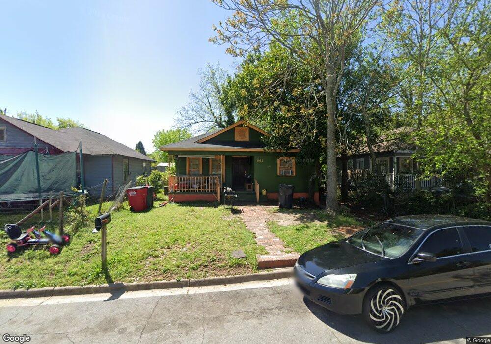
562 Hanson St Macon, GA 31206
Estimated Value: $35,000 - $76,000
2
Beds
1
Bath
1,160
Sq Ft
$50/Sq Ft
Est. Value
About This Home
This home is located at 562 Hanson St, Macon, GA 31206 and is currently estimated at $57,489, approximately $49 per square foot. 562 Hanson St is a home located in Bibb County with nearby schools including Ingram-Pye Elementary School, Central High School, and Cirrus Charter Academy.
Ownership History
Date
Name
Owned For
Owner Type
Purchase Details
Closed on
May 28, 2015
Sold by
Shamsid Deen Zarif
Bought by
Shamsid Deen Zarif and Shamsid Deen Linda
Current Estimated Value
Purchase Details
Closed on
May 1, 2015
Sold by
Shamsid Deen Jamal
Bought by
Shamsid Deen Zarif
Purchase Details
Closed on
Mar 27, 2009
Sold by
Suntrust Bank
Bought by
Shamsid Deen Jamal
Purchase Details
Closed on
Nov 6, 2007
Sold by
Mcskulin Randy L
Bought by
First National Bank Of Gwinnett
Purchase Details
Closed on
Aug 8, 2007
Purchase Details
Closed on
Dec 31, 2003
Purchase Details
Closed on
May 30, 2003
Purchase Details
Closed on
Sep 11, 2002
Create a Home Valuation Report for This Property
The Home Valuation Report is an in-depth analysis detailing your home's value as well as a comparison with similar homes in the area
Purchase History
| Date | Buyer | Sale Price | Title Company |
|---|---|---|---|
| Shamsid Deen Zarif | -- | -- | |
| Shamsid Deen Zarif | -- | None Available | |
| Shamsid Deen Jamal | $3,500 | None Available | |
| First National Bank Of Gwinnett | $23,000 | None Available | |
| -- | -- | -- | |
| -- | $41,000 | -- | |
| -- | $16,400 | -- | |
| -- | $18,000 | -- |
Source: Public Records
Tax History
| Year | Tax Paid | Tax Assessment Tax Assessment Total Assessment is a certain percentage of the fair market value that is determined by local assessors to be the total taxable value of land and additions on the property. | Land | Improvement |
|---|---|---|---|---|
| 2025 | $387 | $15,745 | $1,680 | $14,065 |
| 2024 | $400 | $15,745 | $1,680 | $14,065 |
| 2023 | $338 | $13,319 | $1,120 | $12,199 |
| 2022 | $324 | $9,361 | $1,415 | $7,946 |
| 2021 | $242 | $6,358 | $682 | $5,676 |
| 2020 | $247 | $6,358 | $682 | $5,676 |
| 2019 | $227 | $5,802 | $642 | $5,160 |
| 2018 | $528 | $5,802 | $642 | $5,160 |
| 2017 | $217 | $5,802 | $642 | $5,160 |
| 2016 | $201 | $5,802 | $642 | $5,160 |
| 2015 | $335 | $6,834 | $642 | $6,192 |
| 2014 | -- | $6,834 | $642 | $6,192 |
Source: Public Records
Map
Nearby Homes
- 534 Hanson St
- 2890 Bacon St
- 579 Rutherford Ave
- 537 Rutherford Ave
- 622 Cleveland St
- 2872 Antioch Rd
- 2920 Houston Ave
- 648 Hightower Rd
- 2752 Antioch Rd
- 678 Dixie Ave
- 579 Charles St
- 548 Colquitt St
- 780 Ponce de Leon Ave
- 358 Pittman St
- 3402 Antioch Rd
- 823 Ponce de Leon Ave
- 534 Robert Henry St
- 578 Robert Henry St
- 837 Lackey Dr
- 586 Robert Henry St
- 568 Hanson St
- 556 Hanson St
- 574 Hanson St
- 2859 Simmons St S
- 582 Hanson St
- 548 Hanson St
- 2871 Simmons St S
- 567 Cleveland St
- 575 Cleveland St
- 2862 Simmons St S
- 565 Hanson St
- 555 Hanson St
- 561 Cleveland St
- 588 Hanson St
- 573 Hanson St
- 549 Hanson St
- 2840 Bacon St
- 581 Hanson St
- 545 Hanson St
- 524 Hanson St
Your Personal Tour Guide
Ask me questions while you tour the home.