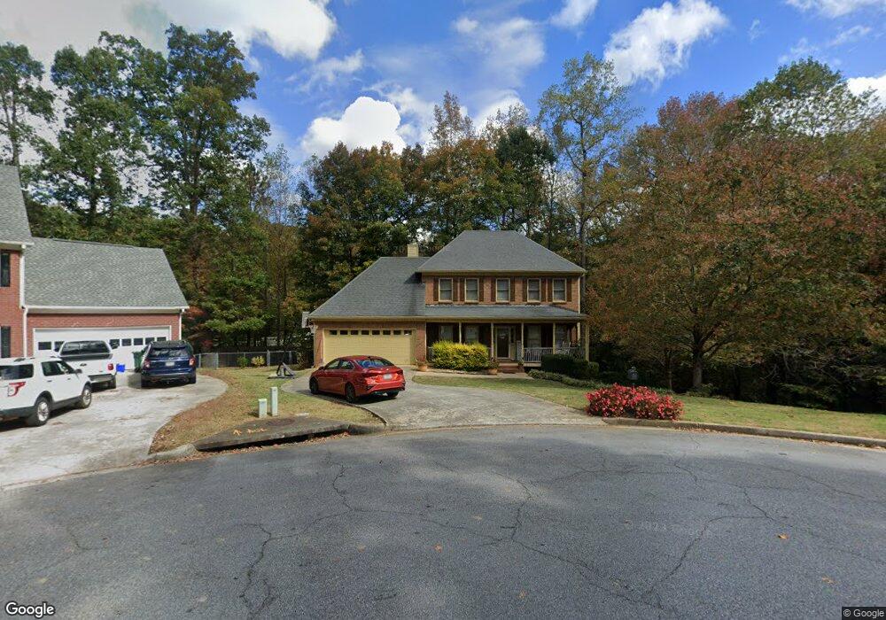
562 Hilton Ave Unit 6 Lawrenceville, GA 30044
Estimated Value: $381,000 - $497,000
4
Beds
3
Baths
2,244
Sq Ft
$187/Sq Ft
Est. Value
About This Home
This home is located at 562 Hilton Ave Unit 6, Lawrenceville, GA 30044 and is currently estimated at $419,111, approximately $186 per square foot. 562 Hilton Ave Unit 6 is a home located in Gwinnett County with nearby schools including Gwin Oaks Elementary School, Five Forks Middle School, and Brookwood High School.
Ownership History
Date
Name
Owned For
Owner Type
Purchase Details
Closed on
Jul 23, 2002
Sold by
Toth Wayne D and Toth Maria T
Bought by
Redding Kathryn D
Current Estimated Value
Home Financials for this Owner
Home Financials are based on the most recent Mortgage that was taken out on this home.
Original Mortgage
$188,550
Outstanding Balance
$79,703
Interest Rate
6.67%
Mortgage Type
New Conventional
Estimated Equity
$339,408
Purchase Details
Closed on
Nov 9, 1994
Sold by
J A Venture
Bought by
Toth Wayne D Maria T
Home Financials for this Owner
Home Financials are based on the most recent Mortgage that was taken out on this home.
Original Mortgage
$125,100
Interest Rate
4.87%
Create a Home Valuation Report for This Property
The Home Valuation Report is an in-depth analysis detailing your home's value as well as a comparison with similar homes in the area
Home Values in the Area
Average Home Value in this Area
Purchase History
| Date | Buyer | Sale Price | Title Company |
|---|---|---|---|
| Redding Kathryn D | $198,500 | -- | |
| Toth Wayne D Maria T | $139,000 | -- |
Source: Public Records
Mortgage History
| Date | Status | Borrower | Loan Amount |
|---|---|---|---|
| Open | Redding Kathryn D | $188,550 | |
| Previous Owner | Toth Wayne D Maria T | $125,100 |
Source: Public Records
Tax History Compared to Growth
Tax History
| Year | Tax Paid | Tax Assessment Tax Assessment Total Assessment is a certain percentage of the fair market value that is determined by local assessors to be the total taxable value of land and additions on the property. | Land | Improvement |
|---|---|---|---|---|
| 2024 | $6,220 | $164,960 | $30,000 | $134,960 |
| 2023 | $6,220 | $158,240 | $33,200 | $125,040 |
| 2022 | $1,066 | $142,720 | $33,200 | $109,520 |
| 2021 | $1,055 | $106,560 | $24,000 | $82,560 |
| 2020 | $1,053 | $106,560 | $24,000 | $82,560 |
| 2019 | $974 | $106,560 | $24,000 | $82,560 |
| 2018 | $956 | $98,040 | $20,400 | $77,640 |
| 2016 | $995 | $82,240 | $20,400 | $61,840 |
| 2015 | $2,558 | $62,920 | $8,000 | $54,920 |
| 2014 | -- | $59,200 | $13,440 | $45,760 |
Source: Public Records
Map
Nearby Homes
- 608 Pamela Ct Unit 1
- 2926 Matthew Ln
- 2976 Matthew Ln
- 2798 Hutchins Rd
- 2853 Franklin Rd
- 2701 Thatcher Ct
- 2980 Brandon Walk Ln
- 2998 Hutchins Rd
- 2770 Longacre Park Way
- 2740 Longacre Park Way
- 506 Ridgedale Way
- 1349 Oak Rd SW
- 793 Chesterfield Dr
- 689 Roxboro Ct
- 2535 Winthrope Way
- 424 Comanche Trail
- 3123 Westbrook Trace
- 572 Hilton Ave Unit 6
- 561 Hilton Ave Unit 6
- 561 Hilton Ave
- 561 Hilton Ave Unit 561
- 571 Hilton Ave
- 582 Hilton Ave
- 581 Hilton Ave Unit 6
- 581 Brandi Ln
- 571 Brandi Ln
- 592 Hilton Ave
- 593 Michael Ct
- 591 Brandi Ln
- 0 Michael Ct SW Unit 7049338
- 0 Michael Ct SW Unit 7279477
- 0 Michael Ct SW Unit 3278676
- 0 Michael Ct SW Unit 3221150
- 0 Michael Ct SW Unit 8808468
- 0 Michael Ct SW
- 591 Hilton Ave Unit 6
- 589 Michael Ct