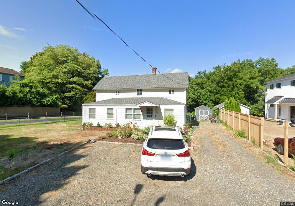
562 River Rd Cos Cob, CT 06807
Estimated Value: $1,406,000 - $2,707,000
5
Beds
4
Baths
3,258
Sq Ft
$652/Sq Ft
Est. Value
About This Home
This home is located at 562 River Rd, Cos Cob, CT 06807 and is currently estimated at $2,122,684, approximately $651 per square foot. 562 River Rd is a home located in Fairfield County with nearby schools including North Mianus School, Eastern Middle School, and Greenwich High School.
Ownership History
Date
Name
Owned For
Owner Type
Purchase Details
Closed on
Dec 20, 2016
Sold by
Merenski James and Merenski Donna
Bought by
Merenski James and Merenski Ginette
Current Estimated Value
Purchase Details
Closed on
Nov 7, 2016
Sold by
Merenski James and Merenski Donna
Bought by
Merenski James and Merenski Donna
Purchase Details
Closed on
Jul 31, 1978
Bought by
Merenski James Henry and Merenski Donna
Create a Home Valuation Report for This Property
The Home Valuation Report is an in-depth analysis detailing your home's value as well as a comparison with similar homes in the area
Home Values in the Area
Average Home Value in this Area
Purchase History
| Date | Buyer | Sale Price | Title Company |
|---|---|---|---|
| Merenski James | -- | -- | |
| Merenski James | -- | -- | |
| Merenski James Henry | -- | -- |
Source: Public Records
Mortgage History
| Date | Status | Borrower | Loan Amount |
|---|---|---|---|
| Previous Owner | Merenski James Henry | $57,000 |
Source: Public Records
Tax History
| Year | Tax Paid | Tax Assessment Tax Assessment Total Assessment is a certain percentage of the fair market value that is determined by local assessors to be the total taxable value of land and additions on the property. | Land | Improvement |
|---|---|---|---|---|
| 2025 | $13,936 | $1,127,630 | $495,880 | $631,750 |
| 2024 | $13,459 | $1,127,630 | $495,880 | $631,750 |
| 2023 | $13,121 | $1,127,630 | $495,880 | $631,750 |
| 2022 | $13,002 | $1,127,630 | $495,880 | $631,750 |
| 2021 | $12,039 | $999,880 | $405,790 | $594,090 |
| 2020 | $12,019 | $999,880 | $405,790 | $594,090 |
| 2019 | $12,139 | $999,880 | $405,790 | $594,090 |
| 2018 | $7,920 | $667,240 | $405,790 | $261,450 |
| 2017 | $5,979 | $497,490 | $405,790 | $91,700 |
| 2016 | $5,885 | $497,490 | $405,790 | $91,700 |
| 2015 | $5,569 | $467,040 | $405,510 | $61,530 |
| 2014 | $5,429 | $467,040 | $405,510 | $61,530 |
Source: Public Records
Map
Nearby Homes
- 552 River Rd
- 98 Hillcrest Park Rd
- 681 River Rd
- 9 Walnut St
- 88 Starin Dr
- 112 Sheephill Rd
- 77 Havemeyer Ln Unit 420
- 33 Halsey Dr
- 19 Emery Dr
- 18 Griffith Rd
- 45 Sunshine Ave
- 45 Sound Beach Avenue Extension
- 5 Halliwell Dr
- 1465 E Putnam Ave Unit 306
- 23 Thornhill Rd
- 10 Tomahawk Ln
- 34 Dublin Hill Dr
- 23 Westview Place
- 139 Wyndover Ln
- 17 Maple Dr
- 562 River Rd
- 564 River Rd
- 554 River Rd
- 554 River Rd Unit (lot 2)
- 550 River Rd
- 550 River Rd Unit (Lot 3)
- 561 River Rd
- 552 River Rd Unit (lot 1)
- 565 River Rd
- 558 River Rd
- 566 River Rd
- 567 River Rd
- 133 Hillcrest Park Rd
- 569 River Rd
- 1 Sweet Briar Ln
- 571 River Rd
- 139 Hillcrest Park Rd
- 120 Hillcrest Park Rd
- 112 Hillcrest Park Rd
Your Personal Tour Guide
Ask me questions while you tour the home.