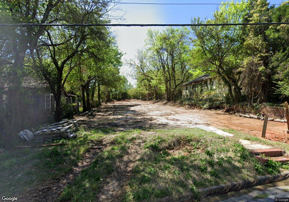
562 Rutherford Ave Macon, GA 31206
Estimated Value: $21,000 - $56,000
2
Beds
1
Bath
896
Sq Ft
$46/Sq Ft
Est. Value
About This Home
This home is located at 562 Rutherford Ave, Macon, GA 31206 and is currently estimated at $41,000, approximately $45 per square foot. 562 Rutherford Ave is a home located in Bibb County with nearby schools including Ingram-Pye Elementary School, Southwest High School, and Cirrus Charter Academy.
Ownership History
Date
Name
Owned For
Owner Type
Purchase Details
Closed on
May 20, 2012
Sold by
New Fellowship Missionary Baptist Church
Bought by
Coleman Jimmy
Current Estimated Value
Purchase Details
Closed on
Mar 25, 2008
Sold by
Smith Ken
Bought by
New Fellowship Misry Bapt Ch
Purchase Details
Closed on
May 2, 2006
Sold by
Kim Kim
Bought by
Smith Ken
Home Financials for this Owner
Home Financials are based on the most recent Mortgage that was taken out on this home.
Original Mortgage
$93,418
Interest Rate
6.39%
Mortgage Type
Unknown
Create a Home Valuation Report for This Property
The Home Valuation Report is an in-depth analysis detailing your home's value as well as a comparison with similar homes in the area
Home Values in the Area
Average Home Value in this Area
Purchase History
| Date | Buyer | Sale Price | Title Company |
|---|---|---|---|
| Coleman Jimmy | $2,000 | None Available | |
| Coleman Jimmy | $4,000 | -- | |
| New Fellowship Misry Bapt Ch | -- | -- | |
| Smith Ken | $18,000 | -- |
Source: Public Records
Mortgage History
| Date | Status | Borrower | Loan Amount |
|---|---|---|---|
| Previous Owner | Smith Ken | $93,418 |
Source: Public Records
Tax History Compared to Growth
Tax History
| Year | Tax Paid | Tax Assessment Tax Assessment Total Assessment is a certain percentage of the fair market value that is determined by local assessors to be the total taxable value of land and additions on the property. | Land | Improvement |
|---|---|---|---|---|
| 2025 | $91 | $3,720 | $3,720 | $0 |
| 2024 | $94 | $3,720 | $3,720 | $0 |
| 2023 | $63 | $2,480 | $2,480 | $0 |
| 2022 | $76 | $2,208 | $2,208 | $0 |
| 2021 | $224 | $5,895 | $1,064 | $4,831 |
| 2020 | $229 | $5,895 | $1,064 | $4,831 |
| 2019 | $211 | $5,394 | $1,002 | $4,392 |
| 2018 | $424 | $4,076 | $1,002 | $3,074 |
| 2017 | $153 | $4,076 | $1,002 | $3,074 |
| 2016 | $142 | $4,108 | $1,002 | $3,107 |
| 2015 | $232 | $4,730 | $1,002 | $3,728 |
| 2014 | $266 | $4,730 | $1,002 | $3,728 |
Source: Public Records
Map
Nearby Homes
- 561 Rutherford Ave
- 538 Cleveland St
- 622 Cleveland St
- 534 Hanson St
- 554 Nelson St
- 532 Nelson St
- 2758 Houston Ave
- 725 Saint James Ave
- 648 Hightower Rd
- 2752 Antioch Rd
- 3402 Antioch Rd
- 587 Robert Henry St
- 534 Robert Henry St
- 780 Ponce de Leon Ave
- 4098 Broadway
- 678 Dixie Ave
- 579 Charles St
- 823 Ponce de Leon Ave
- 548 Colquitt St
- 556 Rutherford Ave
- 548 Rutherford Ave
- 574 Rutherford Ave
- 568 Rutherford Ave
- 546 Rutherford Ave
- 522 Rutherford Ave
- 580 Rutherford Ave
- 584 Rutherford Ave
- 543 Rutherford Ave
- 588 Rutherford Ave
- 538 Rutherford Ave
- 2943 Simmons St S
- 2986 Bacon St
- 537 Rutherford Ave
- 534 Rutherford Ave
- 604 Cliffview Dr
- 2940 Simmons St S
- 2962 Bacon St
- 576 Cleveland St
- 531 Rutherford Ave