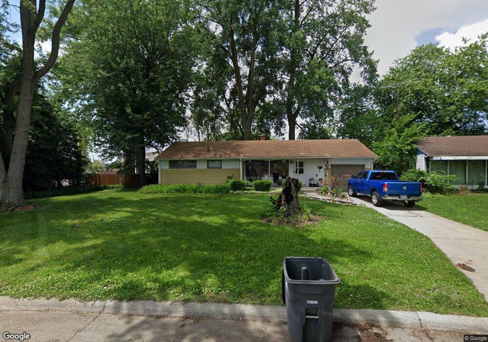
562 Thad St Toledo, OH 43609
Southside NeighborhoodEstimated Value: $85,000 - $120,098
3
Beds
2
Baths
1,092
Sq Ft
$99/Sq Ft
Est. Value
About This Home
This home is located at 562 Thad St, Toledo, OH 43609 and is currently estimated at $108,025, approximately $98 per square foot. 562 Thad St is a home located in Lucas County with nearby schools including Burroughs Elementary School, Bowsher High School, and Explorers Academy of Science and Technology.
Ownership History
Date
Name
Owned For
Owner Type
Purchase Details
Closed on
Sep 25, 2018
Sold by
Keil Robert J and Keil Cathy M
Bought by
Foust Casimiro
Current Estimated Value
Home Financials for this Owner
Home Financials are based on the most recent Mortgage that was taken out on this home.
Original Mortgage
$56,260
Outstanding Balance
$34,943
Interest Rate
4.5%
Mortgage Type
New Conventional
Estimated Equity
$73,082
Create a Home Valuation Report for This Property
The Home Valuation Report is an in-depth analysis detailing your home's value as well as a comparison with similar homes in the area
Home Values in the Area
Average Home Value in this Area
Purchase History
| Date | Buyer | Sale Price | Title Company |
|---|---|---|---|
| Foust Casimiro | $58,000 | None Available |
Source: Public Records
Mortgage History
| Date | Status | Borrower | Loan Amount |
|---|---|---|---|
| Open | Foust Casimiro | $56,260 |
Source: Public Records
Tax History Compared to Growth
Tax History
| Year | Tax Paid | Tax Assessment Tax Assessment Total Assessment is a certain percentage of the fair market value that is determined by local assessors to be the total taxable value of land and additions on the property. | Land | Improvement |
|---|---|---|---|---|
| 2024 | $965 | $28,735 | $8,995 | $19,740 |
| 2023 | $1,737 | $24,535 | $7,980 | $16,555 |
| 2022 | $1,739 | $24,535 | $7,980 | $16,555 |
| 2021 | $1,764 | $24,535 | $7,980 | $16,555 |
| 2020 | $1,863 | $22,680 | $7,315 | $15,365 |
| 2019 | $1,802 | $22,680 | $7,315 | $15,365 |
| 2018 | $1,824 | $22,680 | $7,315 | $15,365 |
| 2017 | $1,842 | $22,155 | $7,140 | $15,015 |
| 2016 | $2,872 | $63,300 | $20,400 | $42,900 |
| 2015 | $1,846 | $63,300 | $20,400 | $42,900 |
| 2014 | $1,394 | $22,160 | $7,140 | $15,020 |
| 2013 | $1,394 | $22,160 | $7,140 | $15,020 |
Source: Public Records
Map
Nearby Homes
- 2828 South Ave
- 576 Bronx Dr
- 2437 Airport Hwy
- 546 Elmdale Rd
- 663 Foredale Ave
- 638 Foredale Ave
- 541 Apple Ave
- 728 Foredale Ave
- 560 Williamsville Ave
- 518 Myers St
- 2126 Airport Hwy
- 304 Mayberry St
- 552 Wyman St
- 321 Mayberry St
- 440 Somerset St
- 838 Wylie Ave
- 226 Somerset St
- 531 Shasta Dr
- 221 Somerset St
- 1351 Bensch Dr