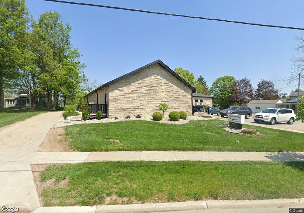
562 W Maple Ave Adrian, MI 49221
Estimated Value: $507,949
--
Bed
--
Bath
4,600
Sq Ft
$110/Sq Ft
Est. Value
About This Home
This home is located at 562 W Maple Ave, Adrian, MI 49221 and is currently estimated at $507,949, approximately $110 per square foot. 562 W Maple Ave is a home located in Lenawee County with nearby schools including Adrian High School, Berean Baptist Academy, and Trenton Hills Learning Center.
Ownership History
Date
Name
Owned For
Owner Type
Purchase Details
Closed on
Oct 25, 2013
Sold by
Ross Kristin and Lowe Brandon
Bought by
Adrian Dental Building Llc
Current Estimated Value
Home Financials for this Owner
Home Financials are based on the most recent Mortgage that was taken out on this home.
Original Mortgage
$151,200
Outstanding Balance
$114,348
Interest Rate
4.59%
Mortgage Type
Commercial
Estimated Equity
$393,601
Create a Home Valuation Report for This Property
The Home Valuation Report is an in-depth analysis detailing your home's value as well as a comparison with similar homes in the area
Home Values in the Area
Average Home Value in this Area
Purchase History
| Date | Buyer | Sale Price | Title Company |
|---|---|---|---|
| Adrian Dental Building Llc | -- | Prestige Title Ins Agency | |
| Lowe Brandon | $223,824 | None Available |
Source: Public Records
Mortgage History
| Date | Status | Borrower | Loan Amount |
|---|---|---|---|
| Open | Lowe Brandon | $151,200 | |
| Closed | Lowe Brandon | $50,000 |
Source: Public Records
Tax History Compared to Growth
Tax History
| Year | Tax Paid | Tax Assessment Tax Assessment Total Assessment is a certain percentage of the fair market value that is determined by local assessors to be the total taxable value of land and additions on the property. | Land | Improvement |
|---|---|---|---|---|
| 2025 | $11,239 | $179,300 | $0 | $0 |
| 2024 | $6,631 | $192,500 | $0 | $0 |
| 2023 | $8,618 | $204,800 | $0 | $0 |
| 2022 | $8,286 | $156,500 | $0 | $0 |
| 2021 | $8,139 | $168,100 | $0 | $0 |
| 2020 | $8,086 | $160,200 | $0 | $0 |
| 2019 | $368,859 | $179,800 | $0 | $0 |
| 2018 | $7,798 | $179,770 | $0 | $0 |
| 2017 | $7,575 | $166,105 | $0 | $0 |
| 2016 | $7,514 | $159,181 | $0 | $0 |
| 2014 | -- | $119,100 | $0 | $0 |
Source: Public Records
Map
Nearby Homes
- 306 Summer St
- 333 Greenly St
- 443 Stockford Dr
- 227 Greenly St
- 670 Stockford Dr
- 146 Budlong St
- 143 Park St
- 228 W Church St
- 914 W Maumee St
- 682 Budlong St
- 705 College Ave
- 150 E Hunt St
- 770 Lakeshire Trail Unit 201 West
- 416 Allis St
- 612 Clinton St
- 308 Toledo St
- 446 Allis St
- 422 S Winter St
- 1144 W Maumee St
- 903 Michigan Ave
- 546 W Maple Ave
- 588 W Maple Ave
- 542 W Maple Ave
- 680 W Maple Ave
- 538 W Maple Ave
- 426 Northwestern Dr
- 404 Northwestern Dr
- 404 Northwestern Dr Unit NORTHWESTERN
- 575 River St
- 410 Northwestern Dr
- 539 W Maple Ave
- 412 Northwestern Dr
- 428 Northwestern Dr
- 543 W Maple Ave
- 526 W Maple Ave
- 599 River St
- 418 Northwestern Dr
- 434 Northwestern Dr
- 420 Northwestern Dr Unit NORTH WESTERN
- 420 Northwestern Dr