5620 Brooks Holding Milford, OH 45150
Estimated Value: $198,763 - $281,000
2
Beds
3
Baths
1,681
Sq Ft
$136/Sq Ft
Est. Value
About This Home
This home is located at 5620 Brooks Holding, Milford, OH 45150 and is currently estimated at $228,941, approximately $136 per square foot. 5620 Brooks Holding is a home located in Clermont County with nearby schools including Milford Senior High School, St. Andrew - St. Elizabeth Ann Seton School, and St. Mark's Lutheran School.
Ownership History
Date
Name
Owned For
Owner Type
Purchase Details
Closed on
Jan 18, 2010
Sold by
Moersdorf Caroline G
Bought by
Rudd Jodi
Current Estimated Value
Home Financials for this Owner
Home Financials are based on the most recent Mortgage that was taken out on this home.
Original Mortgage
$88,804
Interest Rate
4.65%
Mortgage Type
FHA
Purchase Details
Closed on
Jul 31, 1991
Bought by
Moersdorf Caroline G
Create a Home Valuation Report for This Property
The Home Valuation Report is an in-depth analysis detailing your home's value as well as a comparison with similar homes in the area
Home Values in the Area
Average Home Value in this Area
Purchase History
| Date | Buyer | Sale Price | Title Company |
|---|---|---|---|
| Rudd Jodi | $90,000 | Attorney | |
| Moersdorf Caroline G | $71,300 | -- |
Source: Public Records
Mortgage History
| Date | Status | Borrower | Loan Amount |
|---|---|---|---|
| Previous Owner | Rudd Jodi | $88,804 |
Source: Public Records
Tax History Compared to Growth
Tax History
| Year | Tax Paid | Tax Assessment Tax Assessment Total Assessment is a certain percentage of the fair market value that is determined by local assessors to be the total taxable value of land and additions on the property. | Land | Improvement |
|---|---|---|---|---|
| 2024 | $2,336 | $51,280 | $4,200 | $47,080 |
| 2023 | $2,361 | $51,280 | $4,200 | $47,080 |
| 2022 | $2,070 | $34,230 | $2,800 | $31,430 |
| 2021 | $2,072 | $34,230 | $2,800 | $31,430 |
| 2020 | $1,986 | $34,230 | $2,800 | $31,430 |
| 2019 | $1,853 | $30,320 | $2,700 | $27,620 |
| 2018 | $1,853 | $30,320 | $2,700 | $27,620 |
| 2017 | $1,851 | $30,320 | $2,700 | $27,620 |
| 2016 | $1,851 | $27,550 | $2,450 | $25,100 |
| 2015 | $1,727 | $27,550 | $2,450 | $25,100 |
| 2014 | $1,727 | $27,550 | $2,450 | $25,100 |
| 2013 | $1,810 | $28,000 | $2,100 | $25,900 |
Source: Public Records
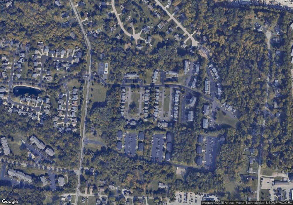
Map
Nearby Homes
- 1010 Newberry Ave
- 977 Newberry Ave
- 5897 Cook Rd
- 957 Tarragon Ln
- 1706 Cottontail Dr
- 5612 Flagstone Way
- 1007 Valley View Dr
- 5880 Stonebridge Cir
- 1093 Broadview Place
- 1139 Willowwood Dr
- 2403 Traverse Creek Dr
- 772 Price Knoll Ln
- 1201 Sorrel Ln
- 5942 Pinto Place
- 5702 Sherwood Dr
- 6211 Cook Rd
- 1113 Clover Field Dr
- 1197 Ronlee Dr
- 5975 Buckwheat Rd
- 6077 Branch Hill Guinea Pike
- 5620 Brooks Holding Unit 66
- 5618 Brooks Holding Unit 67
- 5618 Brooks Holding
- 5622 Brooks Holding Unit 65
- 5622 Brooks Holding
- 5624 Brooks Holding
- 5626 Brooks Holding
- 5626 Brooks Holding Unit 63
- 5616 Brooks Holding Unit 68
- 5616 Brooks Holding Unit 68
- 5616 Brooks Holding
- 5628 Brooks Holding Unit 62
- 5628 Brooks Holding Unit 62
- 5647 Baines Holding Unit 162
- 5647 Baines Holding Unit 162
- 5647 Baines Holding
- 5649 Baines Holding
- 5649 Baines Holding
- 5645 Baines Holding Unit 161
- 5645 Baines Holding Unit 161