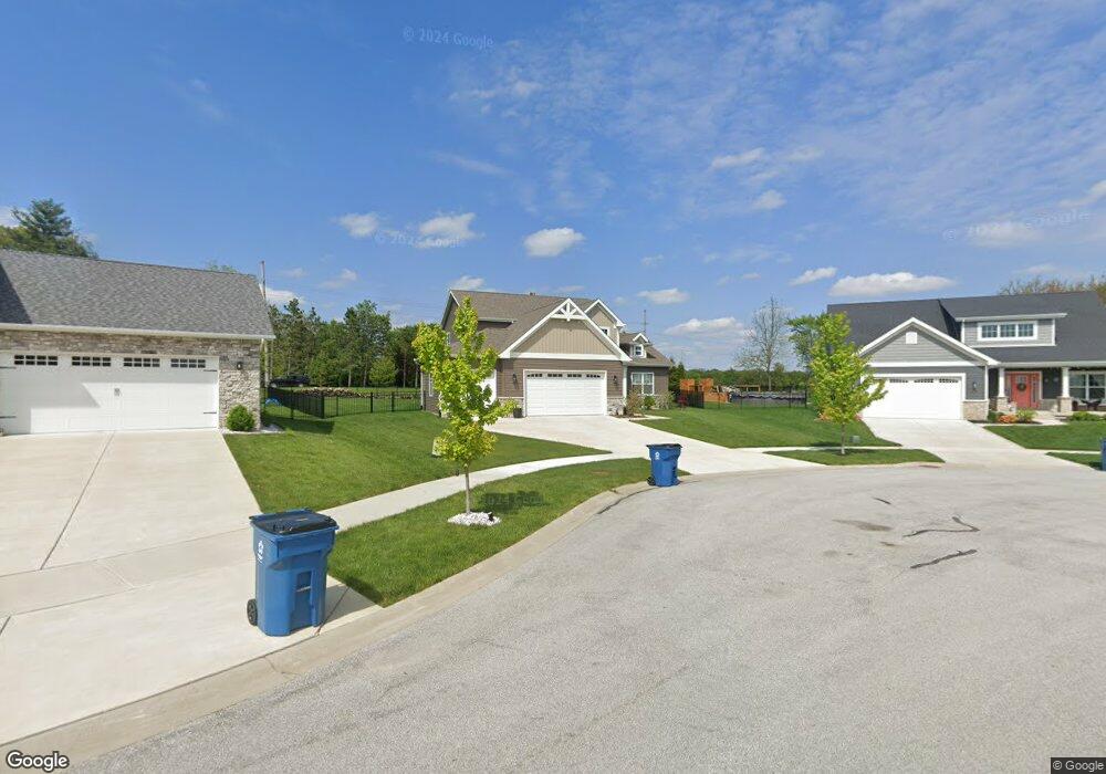
5620 Huron Dr Cedar Lake, IN 46303
Estimated Value: $468,966 - $579,000
3
Beds
3
Baths
2,184
Sq Ft
$240/Sq Ft
Est. Value
About This Home
This home is located at 5620 Huron Dr, Cedar Lake, IN 46303 and is currently estimated at $523,242, approximately $239 per square foot. 5620 Huron Dr is a home with nearby schools including Douglas MacArthur Elementary School, Robert Taft Middle School, and Crown Point High School.
Ownership History
Date
Name
Owned For
Owner Type
Purchase Details
Closed on
Jan 23, 2020
Sold by
Diamond Peak Homes Llc
Bought by
Horn Richard A and Horn Marsha L
Current Estimated Value
Home Financials for this Owner
Home Financials are based on the most recent Mortgage that was taken out on this home.
Original Mortgage
$322,418
Outstanding Balance
$285,417
Interest Rate
3.7%
Mortgage Type
New Conventional
Estimated Equity
$237,825
Purchase Details
Closed on
Apr 15, 2019
Sold by
Cedar Lake 133 Llc
Bought by
Diamond Peak Homes Llc
Home Financials for this Owner
Home Financials are based on the most recent Mortgage that was taken out on this home.
Original Mortgage
$320,900
Interest Rate
4.3%
Mortgage Type
New Conventional
Create a Home Valuation Report for This Property
The Home Valuation Report is an in-depth analysis detailing your home's value as well as a comparison with similar homes in the area
Home Values in the Area
Average Home Value in this Area
Purchase History
| Date | Buyer | Sale Price | Title Company |
|---|---|---|---|
| Horn Richard A | -- | Heartland Title Services Inc | |
| Diamond Peak Homes Llc | -- | Heartland Title Services Inc |
Source: Public Records
Mortgage History
| Date | Status | Borrower | Loan Amount |
|---|---|---|---|
| Open | Horn Richard A | $322,418 | |
| Previous Owner | Diamond Peak Homes Llc | $320,900 |
Source: Public Records
Tax History Compared to Growth
Tax History
| Year | Tax Paid | Tax Assessment Tax Assessment Total Assessment is a certain percentage of the fair market value that is determined by local assessors to be the total taxable value of land and additions on the property. | Land | Improvement |
|---|---|---|---|---|
| 2024 | $11,915 | $474,300 | $70,500 | $403,800 |
| 2023 | $4,594 | $428,200 | $70,500 | $357,700 |
| 2022 | $4,594 | $410,200 | $70,500 | $339,700 |
| 2021 | $4,662 | $416,200 | $86,900 | $329,300 |
| 2020 | $4,034 | $360,900 | $68,700 | $292,200 |
| 2019 | $5 | $100 | $100 | $0 |
| 2018 | $5 | $100 | $100 | $0 |
Source: Public Records
Map
Nearby Homes
- The Quinn Plan at Lakeside
- The Huntley Plan at Lakeside
- The Cole Plan at Lakeside
- The Asher Plan at Lakeside
- The Dover Plan at Lakeside
- The Lester Plan at Lakeside
- The Kade Plan at Lakeside
- The Nicholas Plan at Lakeside
- 13417 Lakeside Blvd
- The Sadie Plan at Lakeside
- The Shelly Plan at Lakeside
- The Brooks Plan at Lakeside
- The Sawyer Plan at Lakeside
- The Foster Plan at Lakeside
- The Powell II Plan at Lakeside
- The Alverstone Plan at Lakeside
- The Monarch Plan at Lakeside
- The Capital Plan at Lakeside
- The Hayes Plan at Lakeside
- The Bennett Plan at Lakeside
- 13307 Victoria Ln
- 5630 Huron Dr
- 13315 Victoria Ln
- 5631 Huron Dr
- 5710 Huron Dr
- 5517 W 133rd Ave
- 5641 Huron Dr
- 5513 W 133rd Ave
- 5632 Tahoe Place
- 5620 W 133rd Ave
- 5642 Tahoe Place
- 5730 Huron Dr
- 5712 Tahoe Place
- 5722 Tahoe Place
- 5706 W 133rd Ave
- 5732 Tahoe Place
- 5508 W 133rd Ave
- 5633 Tahoe Place
- 5713 Tahoe Place
- 5742 Tahoe Place