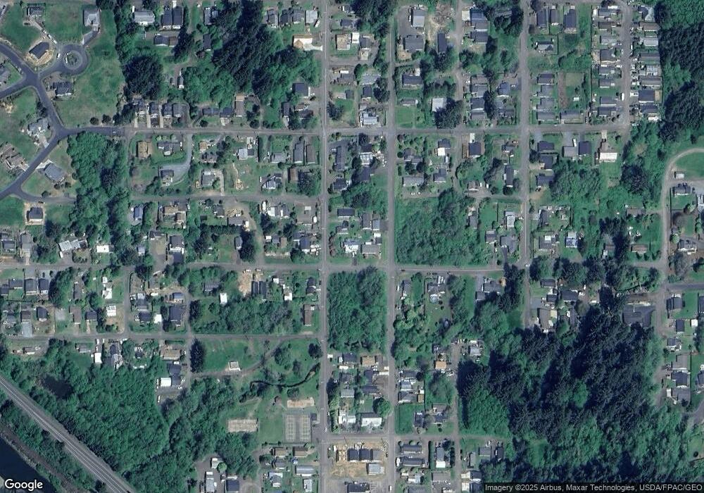
5620 Main St Bay City, OR 97107
Estimated Value: $443,000 - $524,000
3
Beds
3
Baths
1,598
Sq Ft
$305/Sq Ft
Est. Value
About This Home
This home is located at 5620 Main St, Bay City, OR 97107 and is currently estimated at $487,264, approximately $304 per square foot. 5620 Main St is a home located in Tillamook County with nearby schools including Garibaldi Elementary School, Nehalem Elementary School, and Neah-Kah-Nie Middle School.
Ownership History
Date
Name
Owned For
Owner Type
Purchase Details
Closed on
Apr 3, 2025
Sold by
Karl And Sarai Anderson Living Trust and Anderson Karl Dean
Bought by
Anderson Karl Dean
Current Estimated Value
Purchase Details
Closed on
Oct 27, 2023
Sold by
Anderson Karl Dean
Bought by
Karl And Sarai Anderson Living Trust and Anderson
Purchase Details
Closed on
May 25, 2012
Sold by
Anderson Patricia R
Bought by
Anderson Karl Dean and Anderson Autumn Holly
Create a Home Valuation Report for This Property
The Home Valuation Report is an in-depth analysis detailing your home's value as well as a comparison with similar homes in the area
Home Values in the Area
Average Home Value in this Area
Purchase History
| Date | Buyer | Sale Price | Title Company |
|---|---|---|---|
| Anderson Karl Dean | -- | None Listed On Document | |
| Karl And Sarai Anderson Living Trust | -- | None Listed On Document | |
| Anderson Karl Dean | -- | None Available |
Source: Public Records
Tax History Compared to Growth
Tax History
| Year | Tax Paid | Tax Assessment Tax Assessment Total Assessment is a certain percentage of the fair market value that is determined by local assessors to be the total taxable value of land and additions on the property. | Land | Improvement |
|---|---|---|---|---|
| 2024 | $2,614 | $215,140 | $48,810 | $166,330 |
| 2023 | $2,590 | $208,880 | $47,390 | $161,490 |
| 2022 | $2,329 | $202,800 | $46,010 | $156,790 |
| 2021 | $2,259 | $196,900 | $44,670 | $152,230 |
| 2020 | $2,203 | $191,170 | $43,370 | $147,800 |
| 2019 | $2,165 | $185,610 | $42,110 | $143,500 |
| 2018 | $2,124 | $180,210 | $40,880 | $139,330 |
| 2017 | $1,994 | $174,970 | $39,690 | $135,280 |
| 2016 | $1,942 | $169,880 | $38,530 | $131,350 |
| 2015 | $1,901 | $164,940 | $37,410 | $127,530 |
| 2014 | $1,927 | $160,140 | $36,320 | $123,820 |
| 2013 | -- | $155,480 | $35,260 | $120,220 |
Source: Public Records
Map
Nearby Homes
- VL A St Unit VL
- 00 A St Unit 700
- Lot 1 S Ridge Dr Unit 1
- 0 S Ridge Dr Unit 23-129
- 0 S Ridge Dr Unit Lot 1 22229671
- 0 S Ridge Dr Unit 23529031
- 0 S Ridge Dr Unit Lt.44 22655581
- 0 S Ridge Dr Unit 47 22588234
- 9655 8th St
- 0 North Ridge Unit Lot22 22405376
- 0 Vl Portland Ave
- 0 St
- 0 N Ridge Dr Unit 23692694
- 0 N Ridge Dr Unit 23-128
- 0 N Ridge Dr Unit 23-127
- 0 N Ridge Dr Unit 23090325
- 0 N Ridge Dr Unit 23225577
- 0 N Ridge Dr Unit 23-126
- Lot 30 Ocean Ct
- Lot 31 Ocean Ct
- 9755 4th St
- 5680 Main St
- 0 4th St Unit 1901 24403196
- 0 4th St
- 9775 4th St
- 9775 4th St
- 9750 5th St
- 9740 4th St
- 5575 Pacific Ave
- 0 Pacific St Unit Tax Lot: 5-6 24-227
- 0 Pacific St Unit Lot 5-6 24574347
- V/L Pacific St
- Lots 5,6 Pacific St
- 0 Pacific St Unit 5-104228
- 0 Pacific St Unit 17-357
- 0 Pacific St Unit 5 & 6 20020356
- 0 Pacific St
- 9670 4th St
- 5530 Main St
- 9825 4th St
