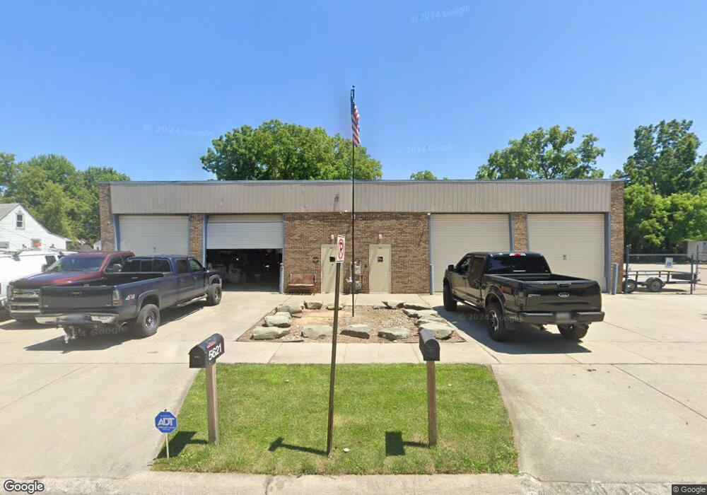
5621 Daniels St Dearborn Heights, MI 48125
--
Bed
--
Bath
5,600
Sq Ft
0.36
Acres
About This Home
This home is located at 5621 Daniels St, Dearborn Heights, MI 48125. 5621 Daniels St is a home located in Wayne County with nearby schools including Taylor Parks Elementary School, Hoover Middle School, and Taylor High School.
Ownership History
Date
Name
Owned For
Owner Type
Purchase Details
Closed on
Aug 5, 2022
Sold by
Angeline Industries Llc
Bought by
1320 Enterprises Llc
Home Financials for this Owner
Home Financials are based on the most recent Mortgage that was taken out on this home.
Original Mortgage
$285,000
Outstanding Balance
$118,918
Interest Rate
5.7%
Mortgage Type
New Conventional
Purchase Details
Closed on
Aug 31, 2016
Sold by
Napierkowski Angeline
Bought by
Angeline Industries Llc
Purchase Details
Closed on
Aug 24, 2016
Sold by
Napierkowski Angeline
Bought by
Napierkowski Angeline
Create a Home Valuation Report for This Property
The Home Valuation Report is an in-depth analysis detailing your home's value as well as a comparison with similar homes in the area
Home Values in the Area
Average Home Value in this Area
Purchase History
| Date | Buyer | Sale Price | Title Company |
|---|---|---|---|
| 1320 Enterprises Llc | $569,900 | Tri County Title | |
| 1320 Enterprises Llc | $569,900 | Tri County Title | |
| Angeline Industries Llc | -- | None Available | |
| Napierkowski Angeline | -- | None Available |
Source: Public Records
Mortgage History
| Date | Status | Borrower | Loan Amount |
|---|---|---|---|
| Open | 1320 Enterprises Llc | $285,000 |
Source: Public Records
Tax History Compared to Growth
Tax History
| Year | Tax Paid | Tax Assessment Tax Assessment Total Assessment is a certain percentage of the fair market value that is determined by local assessors to be the total taxable value of land and additions on the property. | Land | Improvement |
|---|---|---|---|---|
| 2025 | $4,402 | $106,500 | $0 | $0 |
| 2024 | $4,402 | $102,500 | $0 | $0 |
| 2023 | $4,411 | $100,200 | $0 | $0 |
| 2022 | $6,535 | $97,400 | $0 | $0 |
| 2021 | $6,646 | $98,800 | $0 | $0 |
| 2019 | $6,428 | $98,100 | $0 | $0 |
| 2018 | $4,108 | $93,200 | $0 | $0 |
| 2017 | $4,341 | $91,700 | $0 | $0 |
| 2016 | $6,101 | $89,900 | $0 | $0 |
| 2015 | $9,870 | $98,700 | $0 | $0 |
| 2013 | $10,820 | $110,700 | $0 | $0 |
| 2010 | -- | $110,400 | $0 | $0 |
Source: Public Records
Map
Nearby Homes
- 5526 Sylvia St
- 26532 Powers Ave
- 5970 John Daly St
- 4863 Glenis St
- 27523 Powers St
- 5993 John Daly St
- 6107 John Daly St
- 6211 Inkster Rd
- 6221 Inkster Rd
- 26439 Hopkins St
- 6368 Hazel St
- 26458 Hopkins St
- 26225 McDonald St
- 6075 Duncan St
- 26106 Powers Ave
- 6370 Hampden St
- 26773 Colgate St
- 27285 Colgate St
- 4061 Wellington St
- 27022 Colgate St
- 5607 Daniels St
- 5601 Daniels St
- 5620 Sylvia St
- 5542 Sylvia St
- 5626 Daniels St
- 5638 Daniels St
- 5602 Daniels St
- 5648 Daniels St
- 5658 Daniels St
- 5617 Wellington Dr
- 5607 Wellington Dr
- 00 Hanover Blvd
- 27020 van Born Rd
- 5675 Wellington Dr
- 5471 Sylvia St
- 27045 van Born Rd
- 27063 van Born Rd
- 27161 van Born Rd
- 27019 van Born Rd
- 5690 Wellington Dr