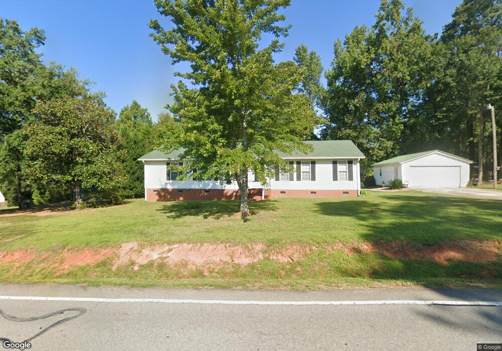
5621 Wescott Rd Columbia, SC 29212
Northwest Columbia NeighborhoodEstimated Value: $222,000 - $287,000
3
Beds
2
Baths
1,944
Sq Ft
$128/Sq Ft
Est. Value
About This Home
This home is located at 5621 Wescott Rd, Columbia, SC 29212 and is currently estimated at $248,527, approximately $127 per square foot. 5621 Wescott Rd is a home located in Lexington County with nearby schools including Irmo Middle, Irmo High, and SC Connections Academy.
Ownership History
Date
Name
Owned For
Owner Type
Purchase Details
Closed on
Mar 15, 2016
Sold by
Pittman Lynda Diamond
Bought by
Pittman Lynda K
Current Estimated Value
Purchase Details
Closed on
Oct 11, 2010
Sold by
Pittman Lynda Diamond and Pittman Robert L
Bought by
Pittman Lynda K and Pittman Robert L
Create a Home Valuation Report for This Property
The Home Valuation Report is an in-depth analysis detailing your home's value as well as a comparison with similar homes in the area
Home Values in the Area
Average Home Value in this Area
Purchase History
| Date | Buyer | Sale Price | Title Company |
|---|---|---|---|
| Pittman Lynda K | -- | None Available | |
| Pittman Lynda K | -- | -- |
Source: Public Records
Tax History Compared to Growth
Tax History
| Year | Tax Paid | Tax Assessment Tax Assessment Total Assessment is a certain percentage of the fair market value that is determined by local assessors to be the total taxable value of land and additions on the property. | Land | Improvement |
|---|---|---|---|---|
| 2024 | $463 | $5,579 | $932 | $4,647 |
| 2023 | $463 | $5,579 | $932 | $4,647 |
| 2022 | $488 | $5,579 | $932 | $4,647 |
| 2020 | $512 | $5,579 | $932 | $4,647 |
| 2019 | $490 | $5,365 | $1,116 | $4,249 |
| 2018 | $423 | $5,365 | $1,116 | $4,249 |
| 2017 | $408 | $5,365 | $1,116 | $4,249 |
| 2016 | $428 | $5,363 | $1,116 | $4,247 |
| 2014 | $469 | $5,610 | $1,116 | $4,494 |
| 2013 | -- | $5,610 | $1,120 | $4,490 |
Source: Public Records
Map
Nearby Homes
- 329 Old Wood Dr
- 1605 Shortstream Ct
- 338 Old Wood Dr
- 345 Old Wood Dr
- 248 Rolling Rock Rd
- 612 Rapids Rd
- 105 Grice Ct
- 0 Wescott Rd
- 131 Firebranch St
- 1056 Lofty Pine Dr
- 279 Woodwinds Dr
- 401 Quail Trace Dr
- 244 Woodwinds Dr
- 5839 Corley St
- 101 Woodwinds Ct
- 217 Woodwinds Dr
- 1820 Shadowood Dr
- 340 Wycombe Rd
- 340 Avery Place Dr
- 215 Wilton Hill Rd
- 5629 Wescott Rd
- 5609 Wescott Rd
- 5637 Wescott Rd
- 5534 Bush River Rd
- 5530 Bush River Rd
- 2112 Wembley Ct
- 2112 Cedarbrook Ct
- 5636 Wescott Rd
- 5630 Wescott Rd
- 5630 Wescott Rd
- 5630 Wescott Rd
- 5655 Wescott Rd
- 2108 Wembley Ct
- 2105 Wembley Ct
- 5659 Wescott Rd
- 2104 Wembley Ct
- 2109 Wembley Ct
- 5650 Wescott Rd
- 2104 Cedarbrook Ct
- 2108 Cedarbrook Ct