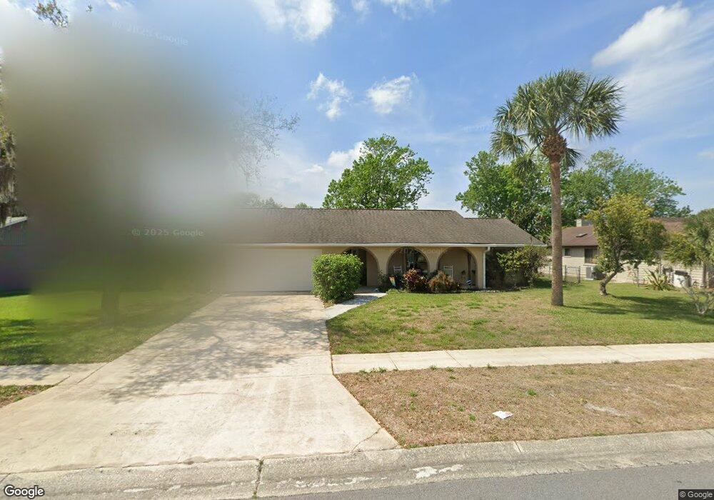
5622 Devon St Port Orange, FL 32127
Foxboro NeighborhoodEstimated Value: $301,000 - $347,000
3
Beds
2
Baths
1,582
Sq Ft
$212/Sq Ft
Est. Value
About This Home
This home is located at 5622 Devon St, Port Orange, FL 32127 and is currently estimated at $334,914, approximately $211 per square foot. 5622 Devon St is a home located in Volusia County with nearby schools including Spruce Creek Elementary School, Creekside Middle School, and Spruce Creek High School.
Ownership History
Date
Name
Owned For
Owner Type
Purchase Details
Closed on
Nov 15, 2017
Sold by
Miller Robert K
Bought by
Miller Cynthia A
Current Estimated Value
Purchase Details
Closed on
Nov 5, 2013
Sold by
Miller Cynthia A
Bought by
Miller Robert K
Purchase Details
Closed on
Apr 15, 1987
Bought by
Miller Robert K
Purchase Details
Closed on
Jun 15, 1986
Bought by
Miller Robert K
Purchase Details
Closed on
Sep 15, 1985
Bought by
Miller Robert K
Create a Home Valuation Report for This Property
The Home Valuation Report is an in-depth analysis detailing your home's value as well as a comparison with similar homes in the area
Home Values in the Area
Average Home Value in this Area
Purchase History
| Date | Buyer | Sale Price | Title Company |
|---|---|---|---|
| Miller Cynthia A | -- | Attorney | |
| Miller Robert K | $152,600 | None Available | |
| Miller Robert K | $82,500 | -- | |
| Miller Robert K | $100 | -- | |
| Miller Robert K | $198,100 | -- |
Source: Public Records
Tax History
| Year | Tax Paid | Tax Assessment Tax Assessment Total Assessment is a certain percentage of the fair market value that is determined by local assessors to be the total taxable value of land and additions on the property. | Land | Improvement |
|---|---|---|---|---|
| 2026 | $6,098 | $370,709 | $122,220 | $248,489 |
| 2025 | $6,098 | $366,928 | $122,220 | $244,708 |
| 2024 | $5,218 | $327,125 | $62,856 | $264,269 |
| 2023 | $5,218 | $315,710 | $70,713 | $244,997 |
| 2022 | $4,736 | $281,129 | $53,253 | $227,876 |
| 2021 | $4,432 | $230,845 | $33,787 | $197,058 |
| 2020 | $4,126 | $216,975 | $32,400 | $184,575 |
| 2019 | $3,874 | $205,084 | $26,190 | $178,894 |
| 2018 | $3,741 | $193,166 | $26,190 | $166,976 |
| 2017 | $3,539 | $178,183 | $24,394 | $153,789 |
| 2016 | $3,317 | $160,417 | $0 | $0 |
| 2015 | $3,227 | $151,493 | $0 | $0 |
| 2014 | $2,967 | $135,526 | $0 | $0 |
Source: Public Records
Map
Nearby Homes
- 5623 Devon St
- 627 Ipswich Ln
- 226 Tropic Dr
- 46 Tropic Dr
- 321 Banyan Ln
- 5571 Mossy Oak Ln
- 128 Coconut Ct
- 1279 Vagabond Dr
- 965 Sandle Wood Dr
- 739 Bay Tree Ct
- 88 N Greenway Dr
- 5560 Trailside Dr
- 254 Palm Castle Dr
- 1211 Vagabond Dr
- 479 S Greenway Dr
- 732 Hunt Club Trail
- 81 N Greenway Dr Unit 189
- 5785 Devon St
- 3960 Oak Trail Run Unit 2101
- 3101 Oak Trail Run
Your Personal Tour Guide
Ask me questions while you tour the home.