5623 S 601 Rd El Dorado Springs, MO 64744
Estimated Value: $282,000 - $906,212
3
Beds
3
Baths
1,500
Sq Ft
$396/Sq Ft
Est. Value
About This Home
This home is located at 5623 S 601 Rd, El Dorado Springs, MO 64744 and is currently estimated at $594,106, approximately $396 per square foot. 5623 S 601 Rd is a home located in Cedar County with nearby schools including El Dorado Springs Elementary School, El Dorado Springs Middle School, and El Dorado Springs High School.
Ownership History
Date
Name
Owned For
Owner Type
Purchase Details
Closed on
Sep 9, 2022
Sold by
Miller Clinton J and Miller Bessie R
Bought by
Clinton J & Bessie R Miller Family Trust
Current Estimated Value
Purchase Details
Closed on
Sep 11, 2013
Sold by
Worthington Larry R and Worthington Yvonne V
Bought by
Miller Clinton and Miller Bessie
Home Financials for this Owner
Home Financials are based on the most recent Mortgage that was taken out on this home.
Original Mortgage
$31,500
Interest Rate
4.46%
Mortgage Type
Future Advance Clause Open End Mortgage
Create a Home Valuation Report for This Property
The Home Valuation Report is an in-depth analysis detailing your home's value as well as a comparison with similar homes in the area
Home Values in the Area
Average Home Value in this Area
Purchase History
| Date | Buyer | Sale Price | Title Company |
|---|---|---|---|
| Clinton J & Bessie R Miller Family Trust | -- | -- | |
| Miller Clinton | -- | None Available |
Source: Public Records
Mortgage History
| Date | Status | Borrower | Loan Amount |
|---|---|---|---|
| Previous Owner | Miller Clinton | $31,500 | |
| Previous Owner | Miller Clinton | $178,500 |
Source: Public Records
Tax History Compared to Growth
Tax History
| Year | Tax Paid | Tax Assessment Tax Assessment Total Assessment is a certain percentage of the fair market value that is determined by local assessors to be the total taxable value of land and additions on the property. | Land | Improvement |
|---|---|---|---|---|
| 2025 | $5,413 | $118,030 | $1,290 | $116,740 |
| 2024 | $5,413 | $113,920 | $1,200 | $112,720 |
| 2023 | $5,406 | $113,920 | $0 | $0 |
| 2022 | $5,404 | $113,920 | $0 | $0 |
| 2021 | $5,167 | $113,920 | $0 | $0 |
| 2020 | $5,167 | $109,010 | $0 | $0 |
| 2019 | $4,973 | $109,010 | $0 | $0 |
| 2018 | $4,931 | $109,060 | $0 | $0 |
| 2017 | -- | $109,060 | $0 | $0 |
| 2016 | -- | $26,810 | $0 | $0 |
| 2015 | -- | $26,810 | $0 | $0 |
| 2014 | -- | $26,780 | $0 | $0 |
| 2013 | -- | $26,780 | $0 | $0 |
Source: Public Records
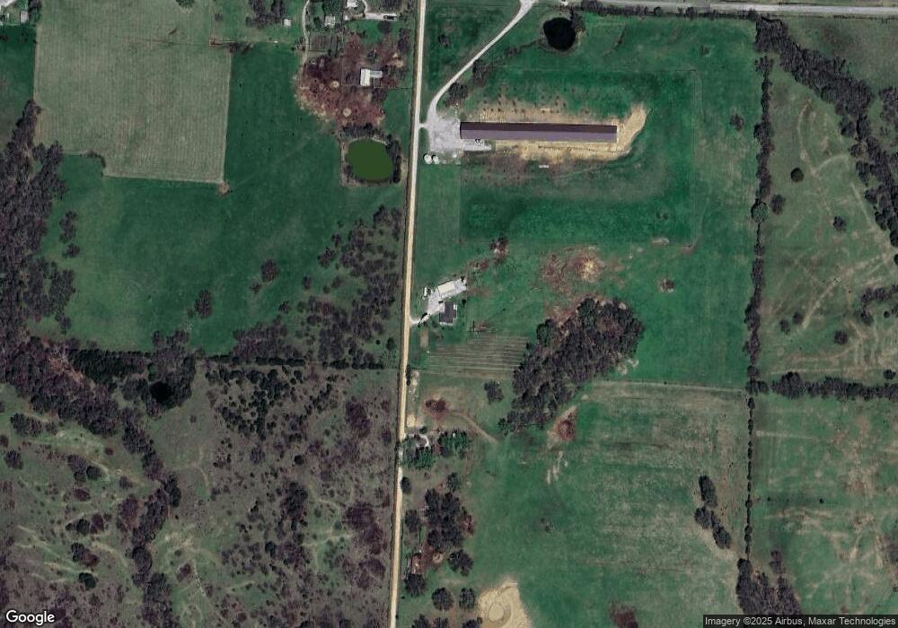
Map
Nearby Homes
- Tbd2 S 651 Rd
- Tbd1 S 651 Rd
- TBD1 S 651st Rd
- 4480 E 360 Rd
- 3100 E 354 Rd
- 4215 E 320 Rd
- 4215 E 320th Rd
- 4775 State Highway 32
- 3555 E 1320 Rd
- 3998 State Highway 32
- 3185 E 336 Rd
- 2111 State Hwy 32
- 9177 751 Rd
- 6879 E Highway 32
- 2564 S 365 Rd
- 1601 Ely Dr
- 703 E Hospital Rd
- 1408 S Summer St
- 205 E Golden Ave