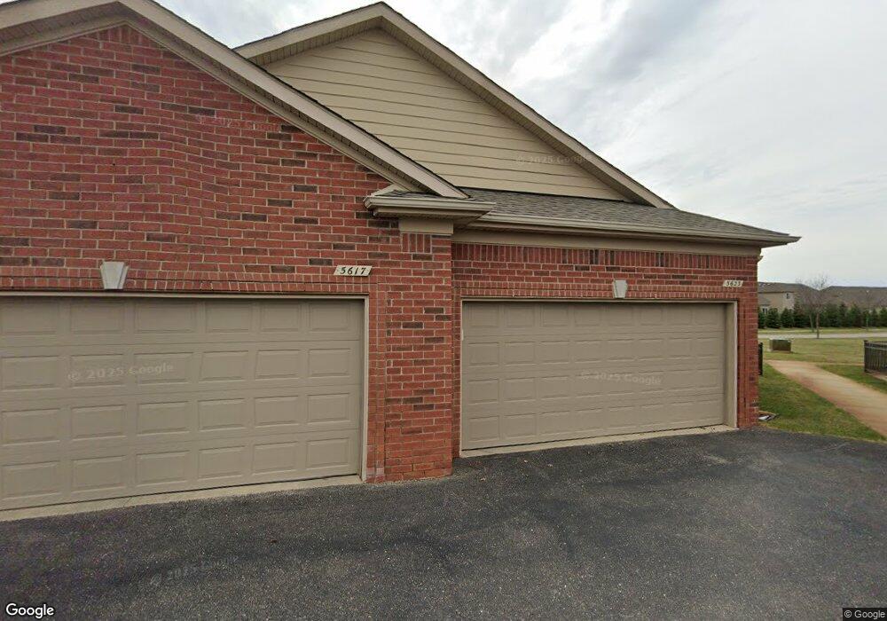
5623 Storrow Ct Unit 129 Warren, MI 48092
Northwest Warren NeighborhoodEstimated Value: $285,097 - $369,000
2
Beds
3
Baths
1,855
Sq Ft
$175/Sq Ft
Est. Value
About This Home
This home is located at 5623 Storrow Ct Unit 129, Warren, MI 48092 and is currently estimated at $325,274, approximately $175 per square foot. 5623 Storrow Ct Unit 129 is a home located in Macomb County with nearby schools including Green Acres Elementary School, Beer Middle School, and Warren Mott High School.
Ownership History
Date
Name
Owned For
Owner Type
Purchase Details
Closed on
May 1, 2009
Sold by
James Tadario J and James Danielle L
Bought by
Federal Home Loan Mortgage Corp
Current Estimated Value
Purchase Details
Closed on
Oct 13, 2006
Sold by
Lombardo Warren Llc
Bought by
James Tadario J and James Danielle L
Create a Home Valuation Report for This Property
The Home Valuation Report is an in-depth analysis detailing your home's value as well as a comparison with similar homes in the area
Home Values in the Area
Average Home Value in this Area
Purchase History
| Date | Buyer | Sale Price | Title Company |
|---|---|---|---|
| Federal Home Loan Mortgage Corp | $247,058 | None Available | |
| James Tadario J | -- | Metropolitan Title Company |
Source: Public Records
Tax History Compared to Growth
Tax History
| Year | Tax Paid | Tax Assessment Tax Assessment Total Assessment is a certain percentage of the fair market value that is determined by local assessors to be the total taxable value of land and additions on the property. | Land | Improvement |
|---|---|---|---|---|
| 2025 | $3,924 | $137,480 | $0 | $0 |
| 2024 | $3,813 | $126,540 | $0 | $0 |
| 2023 | $3,615 | $114,900 | $0 | $0 |
| 2022 | $3,493 | $106,070 | $0 | $0 |
| 2021 | $3,554 | $101,380 | $0 | $0 |
| 2020 | $3,427 | $91,740 | $0 | $0 |
| 2019 | $3,303 | $87,580 | $0 | $0 |
| 2018 | $0 | $81,870 | $0 | $0 |
| 2017 | $3,313 | $78,220 | $8,250 | $69,970 |
| 2016 | $3,309 | $78,220 | $0 | $0 |
| 2015 | -- | $74,080 | $0 | $0 |
| 2012 | -- | $59,700 | $0 | $0 |
Source: Public Records
Map
Nearby Homes
- 30520 Berghway Trail
- 30466 Berghway Trail
- 30475 Berghway Trail
- 5239 E 13 Mile Rd
- 30050 Heritage Pkwy Unit 42
- 30253 Bradmore Rd
- 5134 Canterbury Ln
- 29828 Fox Run Cir Circles Unit 100
- 30945 Cousino Dr Unit 14
- 4801 E 13 Mile Rd
- 4829 Buchanan Ave
- 29616 S White Oak Dr Unit 87
- 31721 Lexington St
- 29900 N Grand Oaks Dr Unit 26
- 29382 Woodpark Cir Unit 685
- 4519 Reader Dr
- 29337 Woodpark Cir Unit 60
- 5102 Ridge Ln
- 29512 Orvylle Dr
- 32101 Saint Annes Dr
- 5611 Storrow Ct
- 5617 Storrow Ct
- 5605 Storrow Ct
- 5605 Storrow Ct Unit 132
- 5629 Storrow Ct
- 5635 Storrow Ct
- 5641 Storrow Ct
- 5647 Storrow Ct
- 5647 Storrow Ct Unit 125
- 5677 Storrow Ct Unit 120
- 5677 Storrow Ct
- 5683 Storrow Ct
- 5689 Storrow Ct
- 5695 Storrow Ct
- 5677 Storrow Ct Unit 951 120
- 5653 Storrow Ct
- 5659 Storrow Ct
- 5665 Storrow Ct
- 5671 Storrow Ct
- 5659 Storrow Ct Unit 123