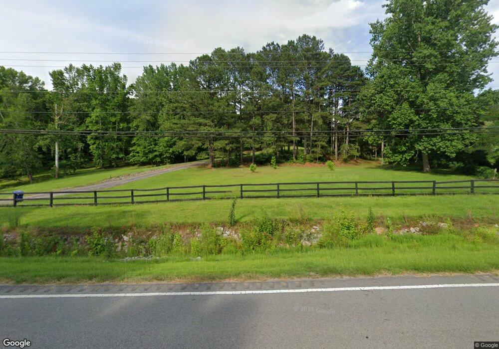
56230 Us Highway 231 Oneonta, AL 35121
Estimated Value: $404,000 - $436,655
--
Bed
--
Bath
2,994
Sq Ft
$141/Sq Ft
Est. Value
About This Home
This home is located at 56230 Us Highway 231, Oneonta, AL 35121 and is currently estimated at $422,552, approximately $141 per square foot. 56230 Us Highway 231 is a home located in Blount County with nearby schools including Oneonta Elementary School, Oneonta Middle School, and Oneonta High School.
Ownership History
Date
Name
Owned For
Owner Type
Purchase Details
Closed on
Mar 19, 2024
Sold by
Waldrop-Kelly Richard and Waldrop-Kelly Alona Michelle
Bought by
Mcdonald James Andrew and Mcdonald Brittany Maclain
Current Estimated Value
Home Financials for this Owner
Home Financials are based on the most recent Mortgage that was taken out on this home.
Original Mortgage
$316,000
Outstanding Balance
$310,744
Interest Rate
6.63%
Mortgage Type
New Conventional
Estimated Equity
$111,808
Purchase Details
Closed on
Jan 3, 2022
Sold by
Deerman and Sondra
Bought by
Waldrop-Kelly Richard and Waldrop-Kelly Alona Michelle
Home Financials for this Owner
Home Financials are based on the most recent Mortgage that was taken out on this home.
Original Mortgage
$383,625
Interest Rate
3.11%
Mortgage Type
New Conventional
Create a Home Valuation Report for This Property
The Home Valuation Report is an in-depth analysis detailing your home's value as well as a comparison with similar homes in the area
Home Values in the Area
Average Home Value in this Area
Purchase History
| Date | Buyer | Sale Price | Title Company |
|---|---|---|---|
| Mcdonald James Andrew | $395,000 | None Listed On Document | |
| Waldrop-Kelly Richard | $375,000 | None Listed On Document |
Source: Public Records
Mortgage History
| Date | Status | Borrower | Loan Amount |
|---|---|---|---|
| Open | Mcdonald James Andrew | $316,000 | |
| Previous Owner | Waldrop-Kelly Richard | $383,625 |
Source: Public Records
Tax History Compared to Growth
Tax History
| Year | Tax Paid | Tax Assessment Tax Assessment Total Assessment is a certain percentage of the fair market value that is determined by local assessors to be the total taxable value of land and additions on the property. | Land | Improvement |
|---|---|---|---|---|
| 2024 | $1,581 | $35,120 | $2,440 | $32,680 |
| 2023 | $1,581 | $34,100 | $2,420 | $31,680 |
| 2022 | $1,010 | $22,440 | $1,080 | $21,360 |
| 2021 | $627 | $17,120 | $880 | $16,240 |
| 2020 | $546 | $16,640 | $880 | $15,760 |
| 2019 | $559 | $16,640 | $880 | $15,760 |
| 2018 | $0 | $16,620 | $860 | $15,760 |
| 2017 | $0 | $15,360 | $0 | $0 |
| 2015 | -- | $15,360 | $0 | $0 |
| 2014 | -- | $15,360 | $0 | $0 |
| 2013 | -- | $14,720 | $0 | $0 |
Source: Public Records
Map
Nearby Homes
- 56304 Us Hwy 231
- 1755 Easley Bridge Rd
- 40 Chert Rd
- 0 Mountain Brow Dr Unit 24577623
- 0 Mountain Brow Dr Unit 17.35+/- Acres
- 531 6th Ave E
- 3455 Ebell Rd
- 848 Jan St
- 805 4th Ave E
- 65 Dogwood Dr
- 100 5th Ave E
- 805 Cotton Ave
- 500 4th Ave E
- 400 4th Ave E
- 106 4th Ave E
- 302 3rd St N
- 1115 Park Ave
- 1201 Park Ave
- 0 U S 231 Unit 20937523
- 0 U S 231 Unit 20805091
- 56230 Us Highway 231
- 56304 Us Highway 231
- 56304 Us Highway 231
- 56308 Us Highway 231
- 56036 Us Highway 231
- 25 Price Ln
- 56346 Us Highway 231
- 56346 U S 231
- 56125 U S 231
- 22 Price Ln
- 56323 U S 231
- 56323 Us Highway 231
- 56323 Us Highway 231
- 56125 Us Highway 231
- 56125 Us Highway 231
- 39 Price Ln
- 39 Price Ln Unit 5.6 ac
- 56347 Us Highway 231
- 61 Wheezy Way
- 61 Wheezy Way