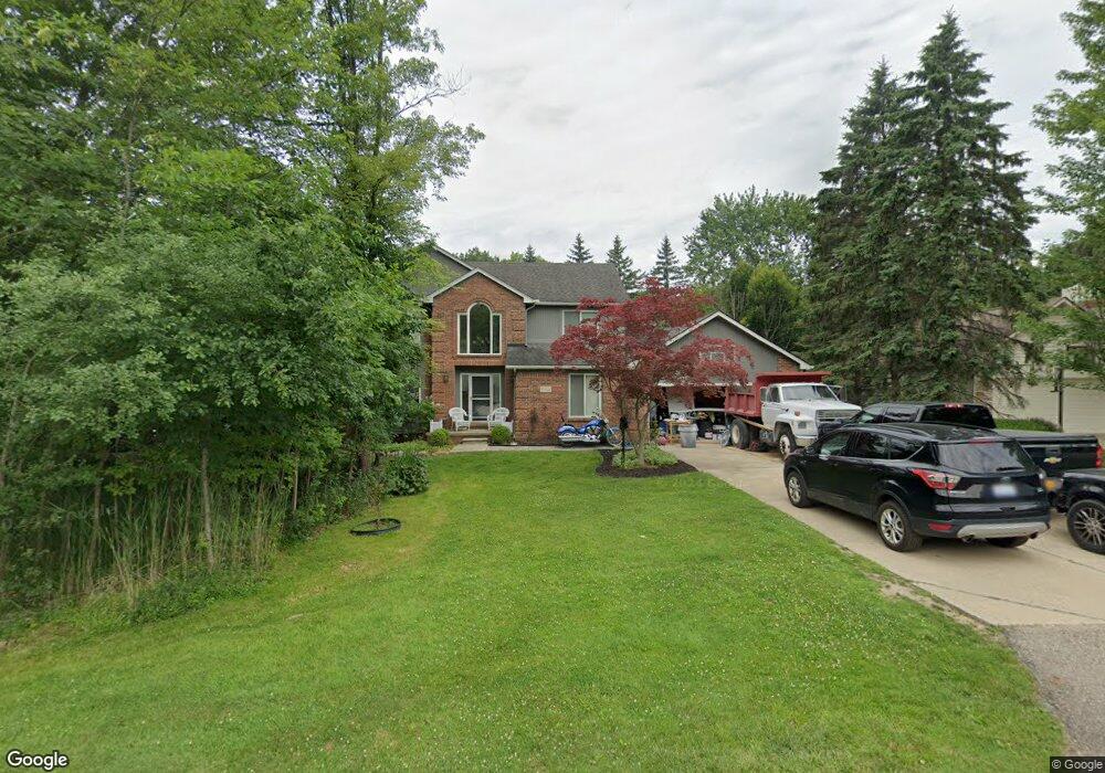
5624 Linton St West Bloomfield, MI 48322
Estimated Value: $481,000 - $499,000
3
Beds
3
Baths
2,584
Sq Ft
$190/Sq Ft
Est. Value
About This Home
This home is located at 5624 Linton St, West Bloomfield, MI 48322 and is currently estimated at $489,744, approximately $189 per square foot. 5624 Linton St is a home located in Oakland County with nearby schools including Walled Lake Central High School, Brookfield Academy - West Bloomfield, and The Susan And Rabbi Harold Loss Ecc.
Ownership History
Date
Name
Owned For
Owner Type
Purchase Details
Closed on
Oct 3, 2011
Sold by
Raymond Robert F and Raymond Brenda M
Bought by
Berardi Anthony and Moran Suzanne
Current Estimated Value
Purchase Details
Closed on
Oct 28, 1998
Sold by
Mince Robert W
Bought by
Raymond Robert F
Home Financials for this Owner
Home Financials are based on the most recent Mortgage that was taken out on this home.
Original Mortgage
$219,200
Interest Rate
6.79%
Purchase Details
Closed on
Oct 20, 1994
Sold by
Micallef Joseph
Bought by
Mince Robert W and Mince T
Home Financials for this Owner
Home Financials are based on the most recent Mortgage that was taken out on this home.
Original Mortgage
$189,000
Interest Rate
6.12%
Create a Home Valuation Report for This Property
The Home Valuation Report is an in-depth analysis detailing your home's value as well as a comparison with similar homes in the area
Home Values in the Area
Average Home Value in this Area
Purchase History
| Date | Buyer | Sale Price | Title Company |
|---|---|---|---|
| Berardi Anthony | $230,000 | None Available | |
| Raymond Robert F | $274,000 | -- | |
| Mince Robert W | $213,500 | -- |
Source: Public Records
Mortgage History
| Date | Status | Borrower | Loan Amount |
|---|---|---|---|
| Previous Owner | Raymond Robert F | $219,200 | |
| Previous Owner | Mince Robert W | $189,000 |
Source: Public Records
Tax History Compared to Growth
Tax History
| Year | Tax Paid | Tax Assessment Tax Assessment Total Assessment is a certain percentage of the fair market value that is determined by local assessors to be the total taxable value of land and additions on the property. | Land | Improvement |
|---|---|---|---|---|
| 2024 | $2,947 | $227,630 | $0 | $0 |
| 2022 | $2,779 | $184,220 | $24,000 | $160,220 |
| 2021 | $4,054 | $171,250 | $0 | $0 |
| 2020 | $2,436 | $150,060 | $24,000 | $126,060 |
| 2018 | $3,946 | $133,830 | $24,000 | $109,830 |
| 2015 | -- | $118,260 | $0 | $0 |
| 2014 | -- | $112,560 | $0 | $0 |
| 2011 | -- | $101,440 | $0 | $0 |
Source: Public Records
Map
Nearby Homes
- 6606 Leytonstone Blvd
- VL Leytonstone Blvd
- 6579 Noble Rd
- 5570 Wildrose Ave
- 0000 Blue Jay Way
- 5616 Hillcrest Cir W
- 5676 Hillcrest Cir E
- 5608 Hillcrest Cir W Unit 80
- 6433 Walnut Lake Rd
- 6196 Celeste Rd
- 5959 Bella Vista Dr
- 7220 Essex Dr
- 5679 Branford Dr
- 5512 Essex Ct
- 5994 Glen Eagles Dr
- 7230 Walnut Lake Rd
- 7065 Deerwood Trail Unit 27
- 7400 Tall Timbers
- 5965 Crestwood Dr
- 6986 Crosswell Dr
- 5646 Linton St
- 5616 Linton St
- 5645 Swan St
- 5611 Linton St
- 5635 Linton St
- V/L Swan
- 5619 Swan St
- 5608 Linton St
- 00 Swan St
- 5646 Swan St
- 31300 wemtworth st Swan St
- 5605 Swan St
- 6495 Brockhurst Blvd
- 5630 Swan St
- 5650 Swan St
- 5610 Swan St
- 5612 Stanhope St
- 6520 Brockhurst Blvd
- 6532 Brockhurst Blvd
- 0000 Swan St