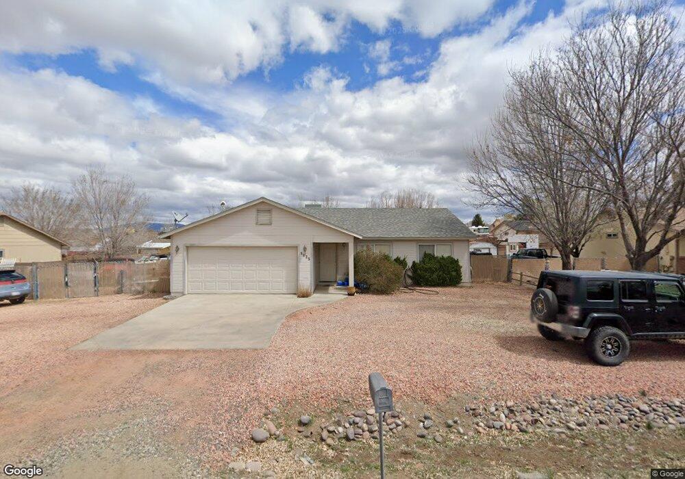
5625 N Robert Rd Prescott Valley, AZ 86314
Estimated Value: $361,000 - $390,000
3
Beds
2
Baths
1,390
Sq Ft
$274/Sq Ft
Est. Value
About This Home
This home is located at 5625 N Robert Rd, Prescott Valley, AZ 86314 and is currently estimated at $380,184, approximately $273 per square foot. 5625 N Robert Rd is a home located in Yavapai County with nearby schools including Coyote Springs Elementary School, Glassford Hill Middle School, and Bradshaw Mountain High School.
Ownership History
Date
Name
Owned For
Owner Type
Purchase Details
Closed on
May 8, 2006
Sold by
Edwards Noble Donn and Edwards Noble Susan
Bought by
Edwards Noble Donn F and Edwards Noble Susan
Current Estimated Value
Purchase Details
Closed on
Aug 25, 2003
Sold by
Lollar Kevin and Lollar Ruby
Bought by
Edwards Noble Donn and Edwards Noble Susan
Purchase Details
Closed on
Sep 26, 1996
Sold by
Altobell John and Altobell Kathleen M
Bought by
Klein Stanley R and Klein Dorothy J
Home Financials for this Owner
Home Financials are based on the most recent Mortgage that was taken out on this home.
Original Mortgage
$8,000
Interest Rate
7.46%
Create a Home Valuation Report for This Property
The Home Valuation Report is an in-depth analysis detailing your home's value as well as a comparison with similar homes in the area
Home Values in the Area
Average Home Value in this Area
Purchase History
| Date | Buyer | Sale Price | Title Company |
|---|---|---|---|
| Edwards Noble Donn F | -- | None Available | |
| Edwards Noble Donn | $119,000 | Capital Title Agency | |
| Klein Stanley R | $8,000 | First American Title Ins |
Source: Public Records
Mortgage History
| Date | Status | Borrower | Loan Amount |
|---|---|---|---|
| Previous Owner | Klein Stanley R | $8,000 |
Source: Public Records
Tax History Compared to Growth
Tax History
| Year | Tax Paid | Tax Assessment Tax Assessment Total Assessment is a certain percentage of the fair market value that is determined by local assessors to be the total taxable value of land and additions on the property. | Land | Improvement |
|---|---|---|---|---|
| 2026 | $1,539 | $30,232 | -- | -- |
| 2024 | $1,427 | $31,666 | -- | -- |
| 2023 | $1,427 | $26,058 | $4,168 | $21,890 |
| 2022 | $1,404 | $20,913 | $2,868 | $18,045 |
| 2021 | $1,442 | $19,409 | $2,883 | $16,526 |
| 2020 | $1,391 | $0 | $0 | $0 |
| 2019 | $1,373 | $0 | $0 | $0 |
| 2018 | $1,313 | $0 | $0 | $0 |
| 2017 | $1,287 | $0 | $0 | $0 |
| 2016 | $1,246 | $0 | $0 | $0 |
| 2015 | -- | $0 | $0 | $0 |
| 2014 | -- | $0 | $0 | $0 |
Source: Public Records
Map
Nearby Homes
- 5601 N Robert Rd
- 5681 N Hondo Dr
- 5445 N Mesquite Dr
- 8620 E Crater Ct
- 8061 E Dust Devil Dr
- 8061 E Dust Devil Dr Unit 5681
- 5290 N Robert Rd
- 5414 N Wickiup Rd
- 5244 N Pinto Dr
- 8485 Roundup Dr
- 5344 N Cord Dr
- 8501 Roundup Dr
- 8517 Roundup Dr
- 5575 E Magpie Dr
- 5274 N Western Blvd
- 5088 N Desert Ln
- 5035 N Robert Rd
- 5050 N Saddleback Dr
- 6050 N Wildhorse Dr
- 8428 E Manley Dr
- 5651 N Robert Rd
- 5640 N Cattlemen Dr
- 5660 N Cattlemen Dr
- 5660 N Cattlemen Dr Unit 2
- 5660 N Cattlemen Dr Unit 9
- 5626 N Robert Rd
- 5620 N Cattlemen Dr Unit 9
- 5650 N Robert Rd
- 5650 N Robert Rd Unit 15
- 5600 N Robert Rd Unit 15
- 5579 N Robert Rd
- 5675 N Robert Rd
- 5675 N Robert Rd Unit 9
- 5600 N Cattlemen Dr
- 5580 N Robert Rd
- 5621 N Long Rifle Rd
- 5651 N Cattlemen Dr
- 5601 N Long Rifle Rd
- 5676 N Robert Rd
- 5631 N Cattlemen Dr