5625 Polson Ln Iron Station, NC 28080
Estimated Value: $111,000
3
Beds
2
Baths
840
Sq Ft
$132/Sq Ft
Est. Value
About This Home
This home is located at 5625 Polson Ln, Iron Station, NC 28080 and is currently estimated at $111,000, approximately $132 per square foot. 5625 Polson Ln is a home located in Lincoln County with nearby schools including Iron Station Elementary School, East Lincoln Middle School, and East Lincoln High School.
Ownership History
Date
Name
Owned For
Owner Type
Purchase Details
Closed on
Mar 22, 2023
Sold by
Byars Charles Walter and Byars Melissa L
Bought by
Miller Martha Allegra
Current Estimated Value
Purchase Details
Closed on
Aug 4, 2017
Sold by
Templin Jacqueline and Templin Gary
Bought by
Byars Charles Walter
Purchase Details
Closed on
Aug 24, 2015
Sold by
Ruffin Kenneth M and Ruffin Mary Anna
Bought by
Templin Jacqueline
Purchase Details
Closed on
Jul 20, 1995
Bought by
Peak John William and Peak Linda D
Create a Home Valuation Report for This Property
The Home Valuation Report is an in-depth analysis detailing your home's value as well as a comparison with similar homes in the area
Home Values in the Area
Average Home Value in this Area
Purchase History
| Date | Buyer | Sale Price | Title Company |
|---|---|---|---|
| Miller Martha Allegra | -- | None Listed On Document | |
| Byars Charles Walter | $27,500 | None Available | |
| Templin Jacqueline | $30,000 | None Available | |
| Peak John William | $10,000 | -- |
Source: Public Records
Tax History Compared to Growth
Tax History
| Year | Tax Paid | Tax Assessment Tax Assessment Total Assessment is a certain percentage of the fair market value that is determined by local assessors to be the total taxable value of land and additions on the property. | Land | Improvement |
|---|---|---|---|---|
| 2025 | $350 | $33,932 | $32,655 | $1,277 |
| 2024 | $330 | $33,932 | $32,655 | $1,277 |
| 2023 | $320 | $33,932 | $32,655 | $1,277 |
| 2022 | $318 | $27,572 | $26,295 | $1,277 |
| 2021 | $318 | $27,572 | $26,295 | $1,277 |
| 2020 | $197 | $27,572 | $26,295 | $1,277 |
| 2019 | $197 | $27,572 | $26,295 | $1,277 |
| 2018 | $350 | $24,403 | $24,403 | $0 |
| 2017 | $178 | $24,403 | $24,403 | $0 |
| 2016 | $178 | $0 | $0 | $0 |
| 2015 | $339 | $24,403 | $24,403 | $0 |
| 2014 | $255 | $24,403 | $24,403 | $0 |
Source: Public Records
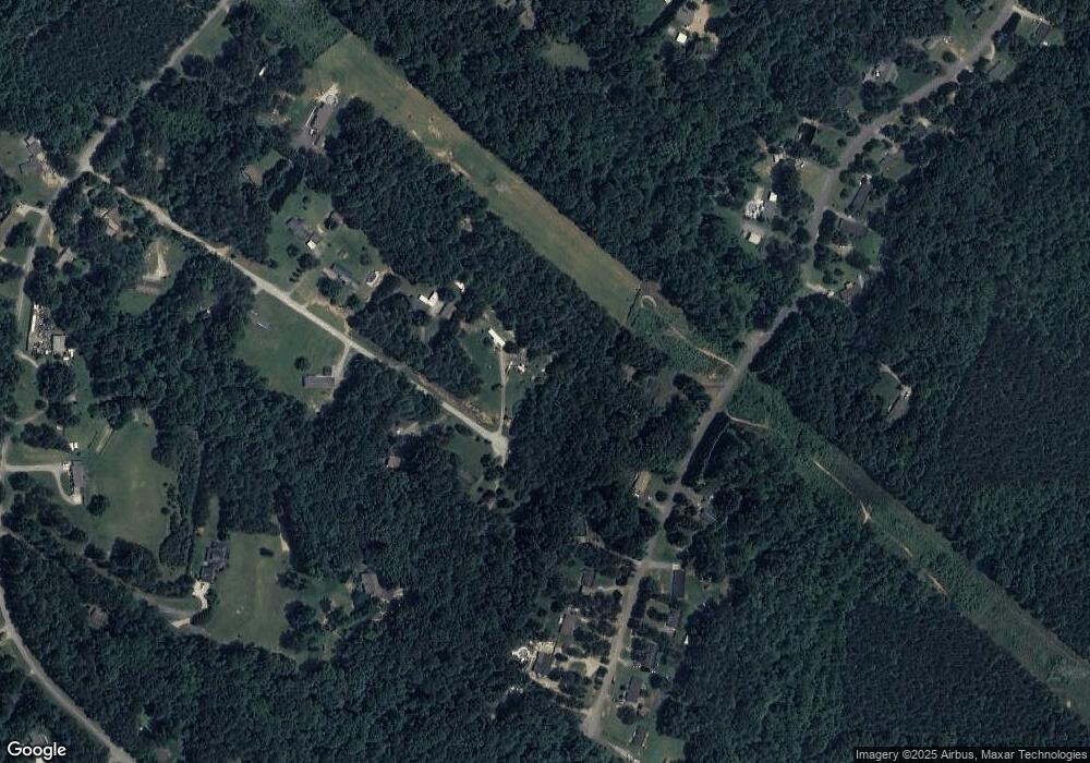
Map
Nearby Homes
- 1785 Doe Ct
- 1789 Doe Ct
- 0 Oak Park Ct Unit 17
- 1615 Oak Park Ct
- 1713 Oak Park Ct
- 0 Wolf Rd Unit 8
- 5039 Penn Rd
- Lot #42 Sardis Ct
- 5716 Dalmatian St
- 0 Highway 73 Hwy Unit CAR4276388
- 450 Greywalls Ln
- 4859 Paysour Pond Rd
- 5756 Rumfelt Rd
- 5748 Dalmatian St
- 5756 Dalmatian St
- 4435 Cornett Dr
- 0 Lhasa Apso Ln Unit CAR4157960
- 0 Lhasa Apso Ln Unit CAR4157956
- 0 Dalmatian St Unit CAR4157812
- 0 Great Dane Ave Unit CAR4157929
- 5599 Polson Ln
- 5642 Polson Ln
- 5612 Polson Ln
- 5577 Polson Ln
- 946 Monterey Dr
- 934 Monterey Dr
- 5644 Polson Ln
- 5584 Polson Ln
- 960 Monterey Dr
- 976 Monterey Dr
- 5561 Polson Ln
- 990 Monterey Dr
- 1055 Mount Zion Church Rd
- 953 Monterey Dr
- 5552 Polson Ln
- 5539 Polson Ln
- 1004 Monterey Dr
- 870 Monterey Dr
- 977 Monterey Dr
- 815 Mount Zion Church Rd